5 Game-Changing Strategies to Present Yourself as a GIS Professional
Discover practical ways to advance your GIS career, from publishing content to creating a portfolio of your work.
Discover practical ways to advance your GIS career, from publishing content to creating a portfolio of your work.
Three geospatial professionals reflect on their experience with transformation—within their organizations as well as in their own careers.
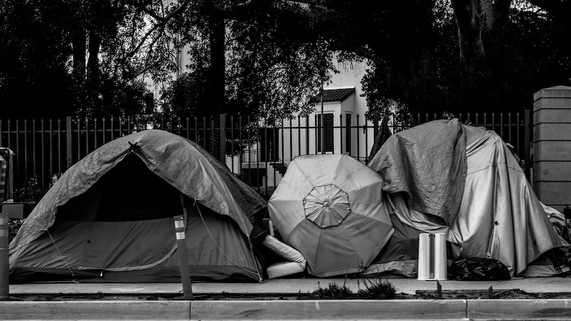
A new initiative integrates AI and GIS to shed light on what factors influence the movement of encampments.
The Red Cross Red Crescent Climate Centre uses GIS technology and global satellite data to guide community-led humanitarian efforts.
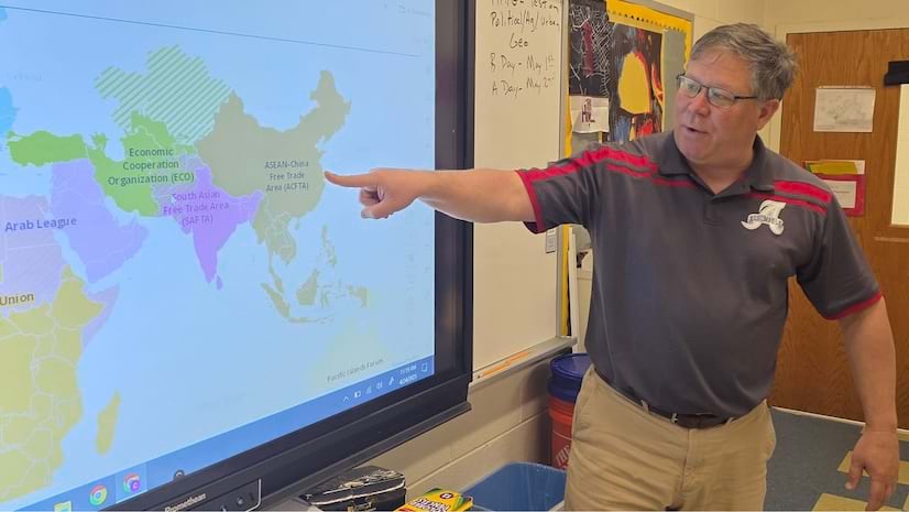
Chris Bunin, a high school social studies teacher in Virginia, uses ArcGIS to enhance instructional methods and engage students.
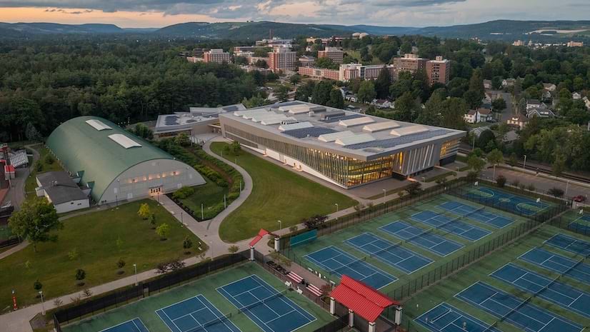
The facilities management team at a New York university uses GIS for outdoor and indoor asset management.
GIS technology is a key part of a new restaurant trend.
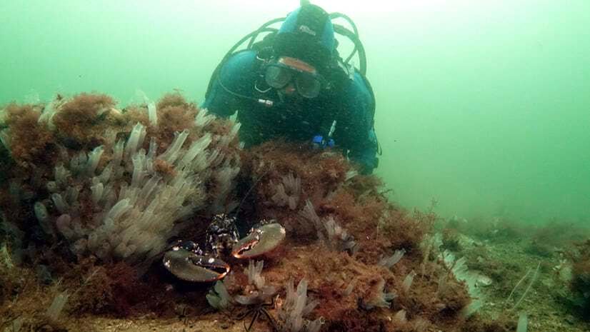
With maps, an organization conveys underwater conditions, communicates research data, and advocates for better marine management.
Executives might be missing some of AI’s most valuable uses.
There's a pressing need for skilled spatial data scientists across industries and disciplines.