
The Geospatial Platform as a Service Gives Developers Geographic Content and Location Capabilities and Services
Software developers know the value that meaningful maps can bring to the solutions they want to build. They also want location services and capabilities that can be easily integrated into apps, access to open-source mapping libraries, and a transparent and easy-to-understand business model that won’t be a barrier to their work.
As a current ArcGIS software user, you already have access to location content, services and capabilities via your ArcGIS software such as ArcGIS Online, ArcGIS Enterprise, and ArcGIS Pro. But now, Esri is reaching out to the wider software developer community by introducing ArcGIS Platform. It’s a geospatial platform as a service (PaaS) offering for software developers who want to integrate location capabilities into their apps, products, and business systems.
ArcGIS Platform gives developers direct access to Esri’s powerful location services using the APIs and web frameworks of their choice.
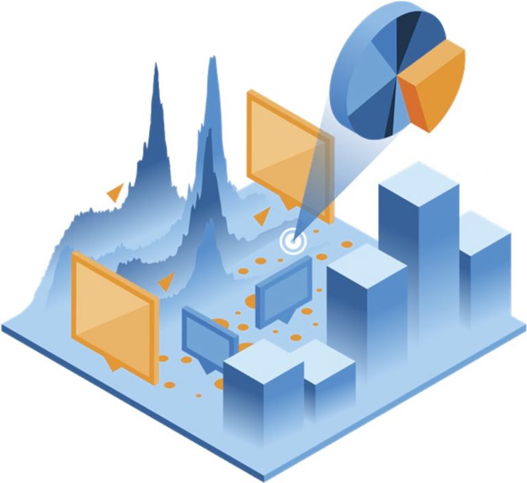
Live, interactive apps, built using the location capabilities of ArcGIS Platform, are engaging, dynamic, and purposeful. They provide a deeper understanding for consumers, citizens, and organizations. These apps bring together stunning and valuable visualizations and uncover patterns and relationships. They leverage beautiful cartographic maps and powerful analytical capabilities, enabling data-driven decision-making. But most importantly, they are delivering innovative experiences.
With ArcGIS Platform, the developers will get access to APIs from Esri, along with a set of open-source mapping libraries and a comprehensive set of location services that includes a variety of content and capabilities. The business model is simple and transparent. They will receive a generous free tier that’s consumption based—developers will only pay for the services and capabilities that their end users consume.
ArcGIS Platform consists of three high-level elements:
- An excellent developer experience
- A collection of location services that are available on-demand
- A transparent and simple business model
The Developer Experience
ArcGIS Platform provides a premium developer experience. Developers can use the API of their choice. The platform comes with a robust set of software developer kits (SDKs) for mobile and desktop development. Developers can also use their own API. This means they can leverage the investment they have already made in their solution by continuing to use the client of their choice. Esri supports popular open-source libraries including Leaflet, OpenLayers, and Mapbox Graphics Library (GL) JavaScript (JS).
ArcGIS Platform supports industry-standard authentication through the use of API keys. On the ArcGIS Developers website, developers will find a variety of resources and tools to help them be successful, including a developer guide describing some development patterns, extensive SDK documentation, and more than 100 tutorials, with a live sandbox you can code against and see your changes instantly. To get started, they can create a free developer account.
The Location Services
Developers also have access to a collection of comprehensive and high-quality location services that are available on-demand, providing the ability to infuse geographic data and powerful capabilities into their solutions—from providing basemaps to data hosting and data visualization to some of the more common capabilities like geocoding and routing.
Esri’s basemaps are a set of ready-to-use authoritative maps that can be used in the API of choice just by inserting a couple of lines of code. Esri’s team of cartographers designed dozens of prestyled basemaps such as neutral background maps, rich foreground maps, and maps that emphasize human geography like streets or physical geography like topography. There are maps blended with elevation data that give developers an additional dimension of information. And if developers want something completely different, they can use Esri’s style editor to design a custom style that best suits their needs. Esri’s location services deliver billions of basemap views around the world daily. But it’s not just about Esri’s data.
Developers can also host their data in ArcGIS Platform. Hosting data is not simply storing a flat file in the cloud, although developers can do that with ArcGIS Platform. What is more exciting is that developers can create a service based on their data so they can visualize, edit, and analyze your authoritative content. When developers host data in ArcGIS Platform, which could include spreadsheets, shapefiles, or text files, it is secure, scalable, and performant. And it’s supported seamlessly in the API of their choice and can be accessed as features, vectors, and image tiles, as well as GeoJSON. Their data remains their data. Esri does not ask them to give up ownership and doesn’t collect telemetry from their users.
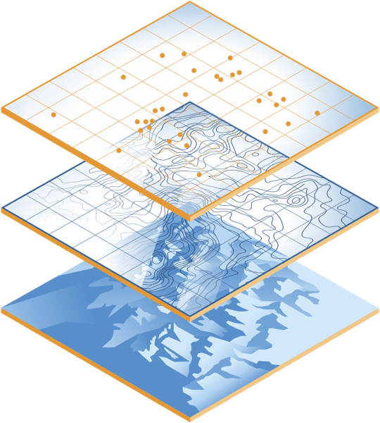
After developers have hosted their data in ArcGIS Platform, typically, the next step is data visualization. Being able to visualize data in unique ways is one of the strengths of ArcGIS Platform. Esri gives the software developer community the tools to make beautiful maps and discover patterns and relationships.
As you know, with maps and location, you can visualize complicated problems and see answers to then drive action. Developers will now have the opportunity to have the capabilities and tools to take data and quickly render features with an endless list of options and visualizations. Like you, they will be able to visualize data in a 2D or 3D context with 3D models of buildings, landscapes, cities, or even the entire globe.
A technique called smart mapping takes the guesswork out of setting map properties by automatically analyzing data to make data-driven styling suggestions and create smart defaults. Smart mapping applies to both 2D and 3D data and can be implemented with just a few lines of code.
The ability to find addresses and points of interest is common in most mapping applications. Esri’s geocoding service is powered by industry-leading reference data that comes from multiple authoritative data sources like commercial data providers, government agencies, and our network of partners around the world, ensuring developers will get the most accurate search results. The service also supports local languages and address formats.
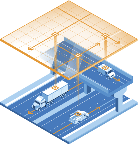
Another popular location service is routing, which has the ability to get turn-by-turn directions, helping to increase the overall efficiency of daily workflows. In addition to common point-to-point routing, developers will be able to build apps that can route multiple vehicles to multiple destinations. Like the geocoding service, the routing service has global coverage and localized directions. The route solver takes into consideration current traffic conditions and dozens of other restriction types, including U-turns, barriers, time windows, and order of stops. The routing service can also calculate drive-time areas, find the closest facilities, and generate origin-destination matrices.
Esri’s routing services are used by many of the largest logistics companies in the world. But ArcGIS Platform offers more. Developers will have access to an extensive data library that includes demographic and statistical data such as income, spending, market segmentation, and psychographic data such as lifestyle information, interests, and beliefs. Like you, they can use these datasets directly within their own application or enrich them or join them to their own data.
ArcGIS Platform has many real-time live feeds like traffic, current weather, and recent events such as flooding, wildfires, and other natural disasters. Developers also will have access to high-resolution imagery from multiple data providers that give them more than just the static picture. This includes access to a historical collection of imagery, where they can see change over time and perform analysis. This geographic collection is called the ArcGIS Living Atlas of the World.
Esri also provides hundreds of spatial analytics tools and operators that help improve understanding of data, from geometric processing to attribute and spatial queries, and support interactive analytical operations, both on 2D and 3D data.
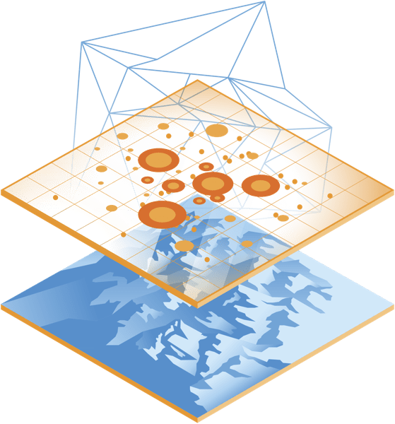
Developers can make use of spatial analytics in two ways. First, by leveraging the power of device resources on the client side, they can build highly interactive user experiences. Esri runs analytics on the server, where the analysis tools sit right next to their data. And if they need to conduct even more analysis, they can also work with big data, real-time analytics, advanced spatial tools, machine learning, and deep learning capabilities that are already embedded in the ArcGIS system.
Esri will soon support these same analytical tools running directly on data stored in cloud data warehouses such as Google BigQuery, Amazon Redshift, and Microsoft Azure Cosmos DB. Esri will be bringing these same tools to the cloud data warehouse of software developers’ choice.
Secondly, location services can be used in many deployment patterns, including on the web, mobile devices, or desktops and even on system-to-system integrations. This means basemaps, powerful data visualizations, routing and geocoding, and the spatial analytics tools can all be used online and offline, both indoors and outdoors.
The Business Model
The third element of ArcGIS Platform is the business model. Accessing ArcGIS Platform is as easy as signing up for a free developer account on the developer’s website. In addition to the excellent developer experience and the extensive set of location services, developers will receive the generous free tier to jump-start their development projects. This includes two million map tiles a month and thousands of other service requests that can be used for searching, geocoding, and hosting data. Esri’s consumption-based business model is transparent and easy to understand. And developers will only pay for what they use.
To learn more about the ArcGIS Platform and sign up, visit the ArcGIS Platform product page.
