What does it take to manage The Henry Ford, a 200-acre history museum complex that welcomes more than 1.7 million visitors a year? For this cultural destination in Dearborn, Michigan, which is the largest indoor–outdoor museum complex in the United States, the answer involved converting a patchwork of paper maps, PDF floor plans, and CAD files into a unified operational view. The Henry Ford team’s goals were ambitious and wide-ranging—from improving facility and asset management to upgrading visitor engagement, safety and security, and emergency response capabilities.
Jarell Brown, former director of analytics and business intelligence at The Henry Ford, envisioned a single, comprehensive geodatabase that would serve the entire organization. To get a geodatabase, which is used in ArcGIS to store and manage geographic information, the museum needed to build a detailed, high-resolution basemap and convert its data into geospatial formats. From there, the geodatabase could serve as the digital foundation for an ArcGIS Indoors project.
With Esri partners Map I.T. and Blue Raster, staff at The Henry Ford used high-resolution drone imagery and ArcGIS Indoors to transform physical spaces into a dynamic, data-rich digital environment.
Getting a Bird’s-Eye View
To develop this high-resolution basemap, the first step was to accurately map the campus exterior—a process that took less than two weeks. A team from Blue Raster, a dynamic web and mapping solutions firm, sent two drone pilots certified by the Federal Aviation Administration (FAA) to use drones to collect extensive aerial imagery. The team processed the imagery into georeferenced orthomosaics—high-resolution aerial images. This provided a detailed, photorealistic canvas and a custom vector basemap of the entire property.
Staff at The Henry Ford, along with a team from geospatial consulting firm Map I.T., brought the mapped features—including trees, storm shelters, and points of interest such as restaurants—together in a fully digitized representation of the campus with verifiable assets.

Digitizing sidewalks, parking lots, and crosswalks created quantifiable data, enabling facilities staff to quickly answer related questions about campus infrastructure. Having this information readily available is crucial for managing things like accessibility requirements, maintenance planning, and emergency vehicle access.
“Whether it’s a standard parking spot, an accessible parking spot, [or] an electric vehicle parking spot—all that information is now stored in the geodatabase,” according to Zach Jaffee, founder and CEO of Map I.T.
Converting the Data and Piloting an Indoor Path
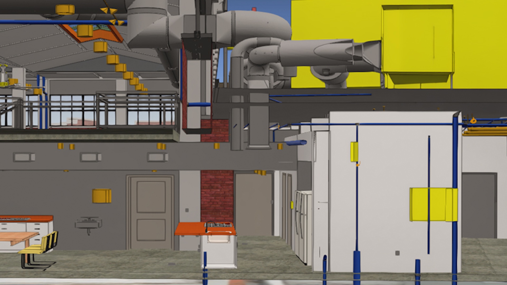
The project then moved indoors. The Henry Ford and Map I.T. launched a pilot project using Indoors for specific use cases such as facility management, wayfinding, and safety and security, as well as to evaluate the most effective workflows for a campus-wide use of indoor mapping.
For CAD files, Map I.T. standardized data using Autodesk products. The firm developed custom tools to automate CAD edits and quality control.
For records that existed only as as-built PDF plans, Map I.T. digitized and converted them into CAD, following the same CAD standards that are applied to existing datasets. Once converted, these CAD floor plans were imported into the Indoors database using the Import CAD to Indoors Dataset tool.
“This ensured that even legacy documentation could be integrated seamlessly into the smart campus system,” Jaffe says.
The team at The Henry Ford then selected three facilities to map. The first was the Henry Ford Academy, a charter school on campus. Map I.T. used an existing point cloud—a collection of billions of 3D data points that create a 3D model—from a Matterport camera designed to capture properties to produce immersive digital twins.
They then integrated this model into Indoors, enabling 3D visualization that provides increased awareness of indoor spaces, improving visitor education and general safety. For example, staff can see gaps in lighting and security camera coverage.
Next was Lovett Hall, an event venue. Here, the team worked with a mix of PDF and CAD drawings to create the floor plans. The focus was on wayfinding for visitors and event planning, including how best to arrange a space for an event. Using tools in ArcGIS Indoors for ArcGIS Pro, the team from Map I.T. converted the PDF and CAD data into an Indoors geodatabase and extruded the 2D floor plans to create a simplified but effective 3D visualization on the web for a more complete picture.

The third site was a building relocated from Alabama called the Jackson Home, where civil rights activists such as Dr. Martin Luther King Jr. planned historic protest marches in 1965. Using a high-accuracy scan of the house, the team created a detailed BIM model. This model was ideal for integration with an ArcGIS StoryMaps story that provides virtual tours, supports historic preservation efforts, and makes history more accessible and engaging.
The Future of the Smart Campus
The pilot project demonstrated the value of Indoors and paved the way for a full campus implementation. One milestone was the launch of a campus-wide routing network that helps visitors and staff navigate the campus.
The project expanded to include geospatial data from more than 100 buildings, all integrated in a single geodatabase and viewable with Indoors. When updates are needed, a GIS analyst at The Henry Ford edits the hosted data in ArcGIS Online so the rest of the organization can see any changes in real time.

With a robust GIS foundation in place, the next phase involves deeper integration with third-party systems such as security cameras, work order management, and real-time parking sensors. The GIS team at The Henry Ford is also exploring advanced data collection, including high-resolution lidar scanning to create more digital twins for specific locations such as Stand 44, a restaurant in The Henry Ford’s outdoor museum, Greenfield Village.
Staff at The Henry Ford are considering more applications for Indoors, such as adding 3D models of museum artifacts instead of digital images.
For other organizations with large multi-building campuses looking to achieve similar results, like universities or corporate complexes, Jaffe recommends starting with a pilot project. Identifying use cases across different departments—such as facilities management, visitor services, or security—can help evaluate the performance of Indoors and build internal support, he says.
According to Jaffe, the goal of a pilot phase is to learn through testing—understanding what works, what doesn’t, and what processes or data standards will be required to scale the solution across an entire campus or institution.
“Whether it’s safety, security, facility management, or visitor engagement, Indoors has a lot of really high-value tools,” Jaffe says.
