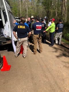
When a four-year-old girl and her dog went missing in a forested area of Lee County, Alabama in March 2020, Ken Busby was called to the scene a few hours into the search. As the county’s GIS coordinator, he had already printed out an aerial map of the surrounding area. But Busby knew there was a better way to help the search effort.
“Let me bring my laptop,” he said to Rita Smith, the county’s Emergency Management Agency (EMA) director. “Let’s use live GIS to help with tracking everything and see if that can help in real time.”
Busby contacted Esri’s Disaster Response Program (DRP) staff for assistance. He knew he needed location-sharing ArcGIS software that would help Busby and other members of the response team—led by Lee County sheriff Jay Jones—coordinate their search and rescue efforts remotely and in real time.
By the next morning, the team had access to an ArcGIS mobile app that enabled searchers to share their locations with each other and with incident command. They were able to put the app to work immediately.
These location-sharing capabilities are currently available in ArcGIS Field Maps, which also includes data collection and map viewing functionality. Location-sharing can also be found in ArcGIS QuickCapture.
The search was a massive undertaking, with hundreds of volunteers and multiple agencies participating in the operation. Participants included a Lee County equestrian team and the US Marshals Service as well as emergency management agencies, sheriff’s departments, and fire departments from Lee County and several neighboring counties.
After Busby had briefed the participants, every member of the search parties was able to download the location-sharing app to their mobile device. “Even people who were volunteers and not part of the coordinated search were able to be included that way,” said Amanda Sides, the girl’s mother, who was on the scene for the search’s duration.
“Each person that went out got a login [for the app],” said Busby. “[Members of each search party] popped up on the map in the same color. That’s how we kept track of all the groupings. We were sending out five or six different teams from the different agencies that were there, going out in different directions, because we had no idea where she was.”
At the incident command post, the response team set up monitors to display maps with real-time updates on the location of each search party. Busby was in constant radio contact with the searchers to keep them on the right track.
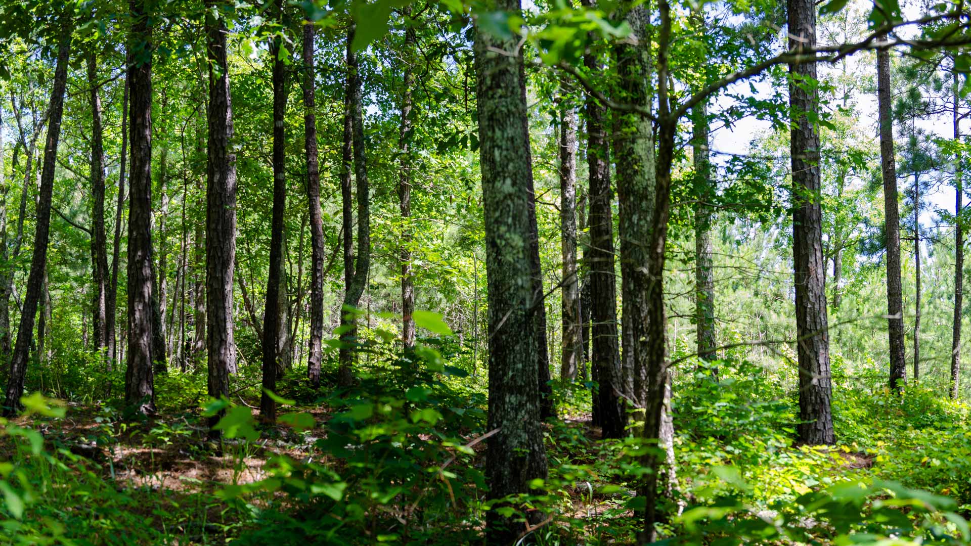
Because of Lee County’s rural setting and wooded terrain, location-sharing capability was vital. “Out in the woods, you could get turned around and be heading off in the wrong direction and not even realize it,” said Busby. “We were able to see in real time where these guys were and keep them heading in the right direction at all times.”
To address network connectivity issues in the search area, Verizon provided a mobile tower to boost the wireless cell signal. With the help of this cellular connection, Busby and the rest of the team were able to use location data from the ArcGIS location-sharing app to mark off areas they had already covered and keep in touch with search parties to make sure everyone knew where they were supposed to go. “Having that technology—being able to know where you’ve been, focus on areas you might not have covered as thoroughly—certainly helped our sheriff’s office and all the search and rescue folks,” said Smith.
When searchers came across the girl’s footprints on the second day, they took pictures of the evidence and emailed them to Busby, who uploaded the geotagged photos to ArcGIS Pro. From there, the response team manually mapped the girl’s direction of travel based on the photo locations, and project where she had likely gone. “We were able to get all that [location-based] information to these searchers. We had professionals in that group who could utilize a lot of that data,” Busby said. “They know what they’re looking at and know how that’s going to affect their search.”

Access to ArcGIS Pro and an app with ArcGIS location-sharing capabilities allowed the search and rescue team to home in on a specific area of interest, which proved to be a turning point for the search effort. “We were going all different directions and couldn’t concentrate on an area,” said Busby. “No matter how many people you have, if you can’t concentrate on a specific area, it’s a needle in a haystack. We were able to condense that haystack down to a small handful.”
By narrowing the search area, the team was able to locate the girl—and her dog—unharmed, on the third day.
“If we didn’t have [location-sharing]—I hate to say it, but I don’t know that we would have found her in as good a condition as we did, or as soon as we did,” Busby said.
Although Busby wasn’t previously familiar with the location-sharing app, its ease of use and the quick response from Esri’s DRP staff enabled the search and rescue team to speedily implement this new capability into the emergency operation. “As soon as I got [access], I was right there,” said Busby. “It was ready to be put to work.”
Busby immediately saw the usefulness of ArcGIS location-sharing in similar scenarios.
“Search and rescue [teams] should have access to that [capability] nationwide. In this day and age, to conduct a proper search and rescue mission in the woods, you need something like that,” he said. “Everybody that’s out there looking needs to have [an ArcGIS location-sharing app] on them. You need to be able to see where everybody’s at, where everybody’s going. They need to be able to take pictures of what they see and evidence of what they find, and they need to be able to upload [the imagery] to a central location where everybody can see and access it.”
Busby doesn’t routinely deal with emergency response situations, but he advocates strongly for geographic thinking when lives are on the line. “I’ve seen firsthand how valuable maps and apps and GIS data are to emergencies,” he said, “and how they can be used to affect the outcome.”
Smith, who has participated in multiple search and rescue operations, agrees. “There are so many things [GIS-based emergency response] can do that have really opened my eyes as an emergency management director,” she said. “It’s like an untapped resource that we’ve tapped into now.”
Learn more about ArcGIS Field Maps; ArcGIS QuickCapture; and Esri’s Disaster Response Program, which provides software, data coordination, technical support, and other GIS assistance in emergency situations.