Kansas Water Office Improves Water Resource Management with GIS Technology
The state-run agency uses a digital dashboard to help staff collect, organize, and share water management information with stakeholders.
The state-run agency uses a digital dashboard to help staff collect, organize, and share water management information with stakeholders.
The Ohio fire department is using ArcGIS Mission to manage resources and personnel locations and share data to enhance situational awareness.
UC San Diego leveraged ArcGIS Enterprise to improve campus growth.
In this Faces of YPN article, meet Catherine DuBreck, an accomplished GIS change management consultant and undergraduate instructor.
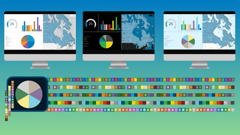
Learn about new and custom themes in ArcGIS Dashboards and how to apply them in your own work.
Ørsted has long used GIS technology in constructing and operating wind farms. A new geodatabase is helping centralize every step of the process.
Learn how to configure a simple interactive dashboard using ArcGIS Dashboards in this tip.
In the City of Memphis, GIS data is critical to the maintenance of vital infrastructure that prevents flooding and keeps the city flowing.
Learn how to present a lot of data simply and enable insight at a glance in this new two-day instructor-led class.
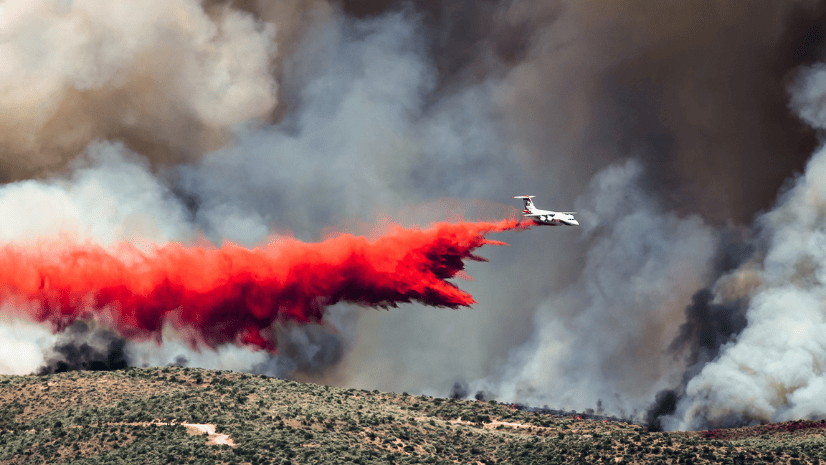
Explore how ArcGIS is used to manage wildland fire risk holistically, from preparedness to rehabilitation.
A collaboration between the South Michigan Food Bank and Coastal Carolina University has spurred a food distribution strategy driven by data.
New Jersey American Water has saved millions of dollars each year by mapping water asset locations across the state with pinpoint accuracy.