Nespresso, a division of Nestlé, won the Making a Difference Award at the 2021 Esri User Conference (Esri UC). The company was heralded for its work with 140,000 small farmers in 20 countries growing coffee sustainably with the help of Esri ArcGIS technology.
“Innovation and sustainability are deeply ingrained in the Nespresso DNA,” said Yann De Pietro, sustainability digital and operations manager for Nespresso, speaking at the virtual conference from his office in Switzerland. “It’s no wonder we started to use ArcGIS to support our journey to a positive impact.”
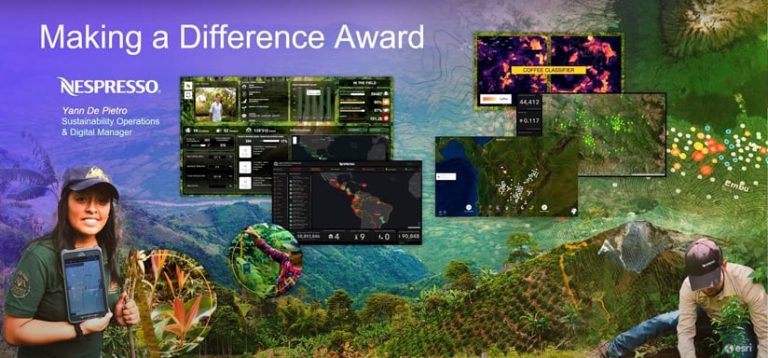
Nespresso has used ArcGIS in many aspects of its coffee business, from agroforestry operations to the recent COVID-19 pandemic response. Jerome Perez, head of sustainability for Nespresso, added that tackling climate change and improving sustainability will be very important going forward.
“We are currently finalizing our sustainability strategy and vision for 2030,” he said. “Digitalization and geospatial analysis, in particular, will be key for us in the implementation of the strategy. Businesses must be part of the solution, and Nespresso will continue to focus on being a force for good to preserve our planet and improve the livelihood of our farmers and our communities.”
Esri gave the Enterprise GIS Award to the Louisville/Jefferson County Information Consortium (LOJIC). LOJIC provides open data, interactive maps, and map and data services for Louisville, Kentucky, and Jefferson County. “They have 1,300 databases they maintain and have thousands of applications that support water and sewer, urban planning, law enforcement, and citizen engagement,” said Esri president Jack Dangermond in announcing the award.

Greg Fischer, mayor of the City of Louisville, accepted the award on behalf of the teams that worked together to create LOJIC, saying that his city prides itself on innovation driven by community collaboration. “Our LOJIC GIS represents a successful 30-year partnership that has changed how we conduct our community’s business and serve and inform the residents of our great city,” Fischer said.
One of the most recent uses of LOJIC was to monitor and report about the impacts of the COVID-19 pandemic. For example, dashboards were configured to show the number of COVID-19 patients that were hospitalized and in the intensive care units (ICUs) of local hospitals over time.
“LOJIC also has been a valuable asset in our important work of advancing racial equity and economic development,” said the mayor, citing the resources community members have available in LOJIC’s gallery stories created with ArcGIS StoryMaps, interactive web maps, and dashboards.
Dangermond gave the President’s Award to the University of Michigan for its university-wide GIS implementation. Peter Knoop, with the University of Michigan (U-M) College of Literature, Science, and the Arts (LSA) Technology Services, accepted the award on behalf of the school. He said 7,000 people on campus now use GIS, and that number has been expanding rapidly, especially since the introduction of ArcGIS Online.

Knoop said that GIS has become an enterprise system capability throughout the university and is being used for research, teaching, and other work.
The Special Achievement in GIS (SAG) Award recipients also were announced at the Esri UC. One hundred eighty organizations from around the world won the (SAG) Award. “These organizations distinguish themselves by doing fantastic things,” said Dangermond in announcing the awards. “They’ve organized all the data. They’ve built the right applications. They’ve organized the right institutional settings for their work.”
The honorees included many small government organizations such as Carlton County, Minnesota, which used GIS technology—including ArcGIS Survey123—to establish a process to safely vaccinate residents for COVID-19, and the Elgin Police Department in Illinois, which set up a website using ArcGIS Hub that lets residents use maps to explore crime, use of force, and other data.
Large organizations were also represented, including the US Census Bureau for its COVID-19 Demographic and Economic Resources hub, and the Maritime and Port Authority of Singapore for GeoSpace-Sea, its authoritative marine and coastal spatial data and information portal and applications.
View all the award winners. Watch the awards presentation.
