
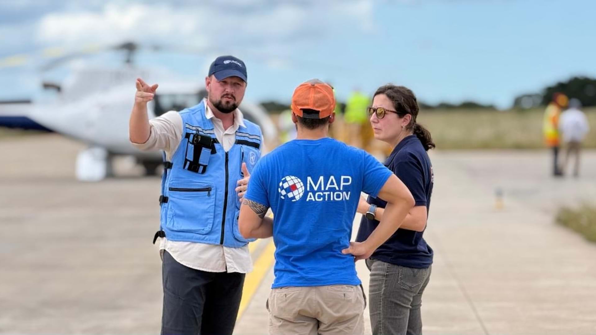
In January 2026, floodwaters cut off more than 600,000 people across southern Mozambique. Volunteer geographic information system (GIS) professionals from MapAction—a UK-based humanitarian charity that provides mapping during emergencies—deployed within days to deliver critical geospatial support with the help of ArcGIS Pro to create a lifeline for this endangered community.
MapAction sent two-person teams on rotating deployments over several weeks to work alongside Mozambique’s National Institute for Disaster Management and Risk Reduction and United Nations (UN) partners. Because the country’s rural areas have rugged terrain, unpaved roads, limited cellular service, and frequent flooding, GIS was the only way to understand where help was needed and how to get it there.
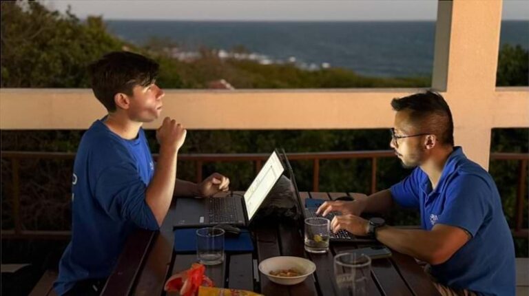
The volunteers produced maps that tracked communities cut off by flooding; guided helicopter aid deliveries; and identified clinics, pharmacies, and hospitals at risk of plumbing contamination and structural degradation. Volunteers worked from laptops equipped with ArcGIS Pro and emergency GIS map templates developed over the organization’s two decades of operation. This enabled the teams to transform multiple agencies’ fragmented data into situational awareness that helped coordinate aid distribution and provide relief to residents impacted by the flood.
Mapping a Sprawling Emergency
The crisis began in late December 2025, when heavy rainfall pummeled Mozambique’s southern highlands for more than two weeks. Water flowed downstream to the Limpopo and Nkomati deltas—two wetland systems—creating flooding that locals described as the worst in almost 30 years, according to the BBC. The continuous rain overwhelmed key reservoirs and swelled rivers, affecting heavily populated areas. More than 30,000 homes were damaged or destroyed.

Mozambique’s government contacted the UN, which activated its Disaster Assessment and Coordination team—a rapid-response unit that assists governments in the critical first phase of a sudden-onset emergency. Within hours, MapAction volunteers received alerts by text and email. Those who were available for deployment logged in to a shared spreadsheet, and then MapAction staff assembled teams based on experience, availability, and the skills needed.
Harry Matchette-Downes, a volunteer who served as team leader during the second rotation, arrived in a small propeller plane.
“Even arriving two weeks after the emergency was declared, recovery efforts were still in full swing,” Matchette-Downes says. “There were still tens of thousands of people displaced, and the water hadn’t subsided.”
Coordinating Aid Distribution
The MapAction volunteers focused on supporting aid distribution by helicopter across flood-affected regions. Almost daily, teams updated maps showing the communities that had received assistance and the ones still in need of help.
The mapping extended beyond simple location tracking. Volunteers overlaid data layers such as baseline geography, flood inundation, relevant infrastructure, population density, and helicopter flight radius on various maps to provide context for decision-making. For example, they mapped hospital statuses across the region, revealing that one district’s medical facilities were all either severely damaged or closed.
Then they created maps to show where floodwaters had stagnated and combined those with data on proximity to health facilities. Since stagnant floodwater is associated with several diseases, including cholera, typhoid, and malaria, these maps showed which areas had the greatest need for nearby health-care services.
MapAction staff also produced a map displaying hard-to-reach communities and various helicopters’ operational ranges—the maximum distance an aircraft can fly on a single tank of fuel. The team printed the large format map and displayed it at the airports where coordination meetings took place. This showed which communities could only be reached by a handful of longer-range helicopters.
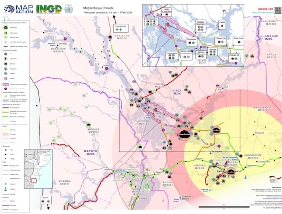
“The people at the airport suddenly realized that there were a bunch of hard-to-reach communities that were actually out of the range of the main class of helicopter that they had available to them,” Matchette-Downes recalls.
All mapping relied on a combination of open-source data—from platforms such as the Humanitarian Data Exchange, OpenStreetMap, and Natural Earth—along with data collected in the field, such as designated aid station locations, impassable roads, critical infrastructure, and specific community needs. Additionally, MapAction’s in-country humanitarian information management volunteers are supported by a remote team that handles critical and time-sensitive tasks like data cleansing, quality control, and scripting.
“Inevitably in such a major crisis, from time to time, we receive inaccurate data—for example, a set of crucial but incorrect coordinates which takes time to be checked and followed up on,” explains Greg Fricz, MapAction’s head of GIS. This hybrid approach—a combination of on-the-ground and remote teams—ensures the most effective support and response, Fricz notes.
Leveraging ArcGIS Pro for Rapid Response
MapAction has responded to more than 150 humanitarian crises since its founding in 2002, with typical responses lasting one to eight weeks. Since then, the organization’s capabilities have evolved from simple icon-based maps to sophisticated analytics using drone imagery, satellite data, and GIS technology such as ArcGIS Pro.
ArcGIS Pro provides several capabilities critical for rapid map production. Fricz likes the tabular functionality of ArcGIS Pro because he says it directly addresses real-time conditions in affected areas. Teams often receive incomplete datasets at the start of emergencies, and the ability to easily display and check data accuracy—such as health center coordinates and community displacement details—within the software can save hours in time-critical situations.

MapAction has also developed a custom ArcGIS Pro toolbar to standardize outputs. The toolbar sets parameters for uploading maps in multiple formats—along with important related information, such as who made the maps, when and why they were made, what data sources were used, and what the symbology means—to the organization’s data repository.
The processing tools built into ArcGIS Pro provide essential flexibility during times of crisis and unpredictability. Volunteers can perform a variety of operations, such as reducing raster image resolution for faster rendering and transmission. They can also classify imagery to identify features, like tents in accommodation centers, without switching software.
Building Long-Term Capacity
Beyond emergency response, MapAction works on capacity-building projects to enhance geospatial preparedness in developing countries. Partnering with the UN’s World Food Programme, MapAction helps develop emergency response procedures and provides remote support from GIS professionals who assist mobile teams in real time. In addition, MapAction volunteers collaborate with local government agencies, disaster management institutions, and humanitarian organizations to build their internal geospatial capacity.
“The dream is that one day we won’t really be needed because we will have trained ourselves out of existence,” Matchette-Downes says.
Maintaining this work comes at a crucial time. Recent humanitarian funding cuts have hit organizations hard, forcing them to reduce specialized GIS staff even as the need for geospatial expertise during emergencies continues to grow. MapAction’s volunteer model provides the flexibility to scale the number of GIS experts up and down quickly during severe emergencies—even in well-resourced countries.
MapAction trains volunteers in weekend sessions every other month, culminating in a four-day operational readiness course that simulates emergency conditions. The organization has approximately 45 deployment-ready volunteers with backgrounds in GIS, data engineering, data science, and software development to deliver the data and technology countries need to prepare for and efficiently respond to emergencies.
It’s a demanding commitment—and, according to Matchette-Downes, a worthwhile one.
“I have no regrets about [volunteering with MapAction],” he says. “It’s one of the best things that’s ever happened to me. If you can spare the time, I don’t think there are any reasons not to do it.”
Learn how to support MapAction [mapaction.org].
MapAction has worked with Esri for more than two decades, receiving support from Esri’s humanitarian assistance team and access to technology such as ArcGIS Pro at discounted rates. Learn more about GIS solutions for humanitarian assistance.