Humanitarian Assistance
Prepare, manage, and deliver effective humanitarian assistance programs with GIS
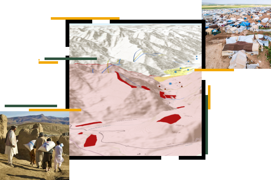
Providing location intelligence for humanitarian assistance
Humanitarian aid organizations use GIS to help address some of their most common challenges such as determining the following:
- Where the needs of affected people are greatest
- What routes are safe for delivery and access to relief services
- Where to prioritize recovery efforts
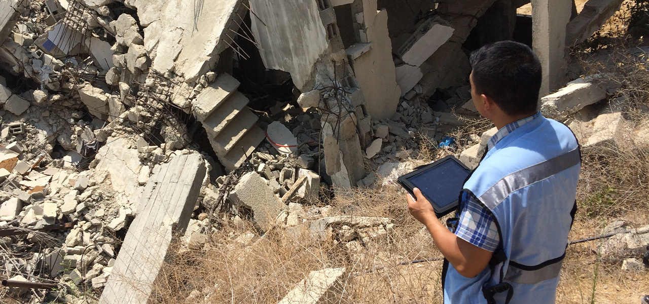
GIS solutions for humanitarian assistance
Previous
Next
Explore key humanitarian GIS initiatives
Working in partnership with the humanitarian community, Esri is focused on four key initiatives. Through these efforts, we are committed to improving how GIS and location intelligence support global and local humanitarian aid actors to help them achieve maximum impact.
Localization of humanitarian response
Increase the capacity of local communities to leverage GIS for disaster prevention, preparedness, response, and recovery.
Explore localization resourcesDisaster risk reduction through geodesign
Build more resilient, risk-informed communities and reduce vulnerability to hazards by combining geography with design and supporting anticipatory action.
Explore geodesign resourcesInnovation and acceleration
Accelerate the transformation of innovative technologies from aspirational to operational solutions for constantly evolving humanitarian requirements.
Explore innovation resourcesGeographic thinking and geospatial strategies
Empower all stakeholders of an organization with systemwide implementations of GIS.
Explore enterprise resourcesUpcoming event
Safety and Security Summit
Explore how GIS helps agencies gain a technological advantage in today’s evolving global landscape on July 12–15, 2025, in San Diego, California.

Humanitarian Community
View the latest GIS news, user stories, and resources for humanitarian professionals.