displaying 1362 results

Fast Company ranked Esri among the most innovative data science companies and the City of Long Beach launched a comprehensive data hub.
Esri will support ArcGIS using SAP HANA. Mapillary’s street imagery is now integrated with ArcGIS.
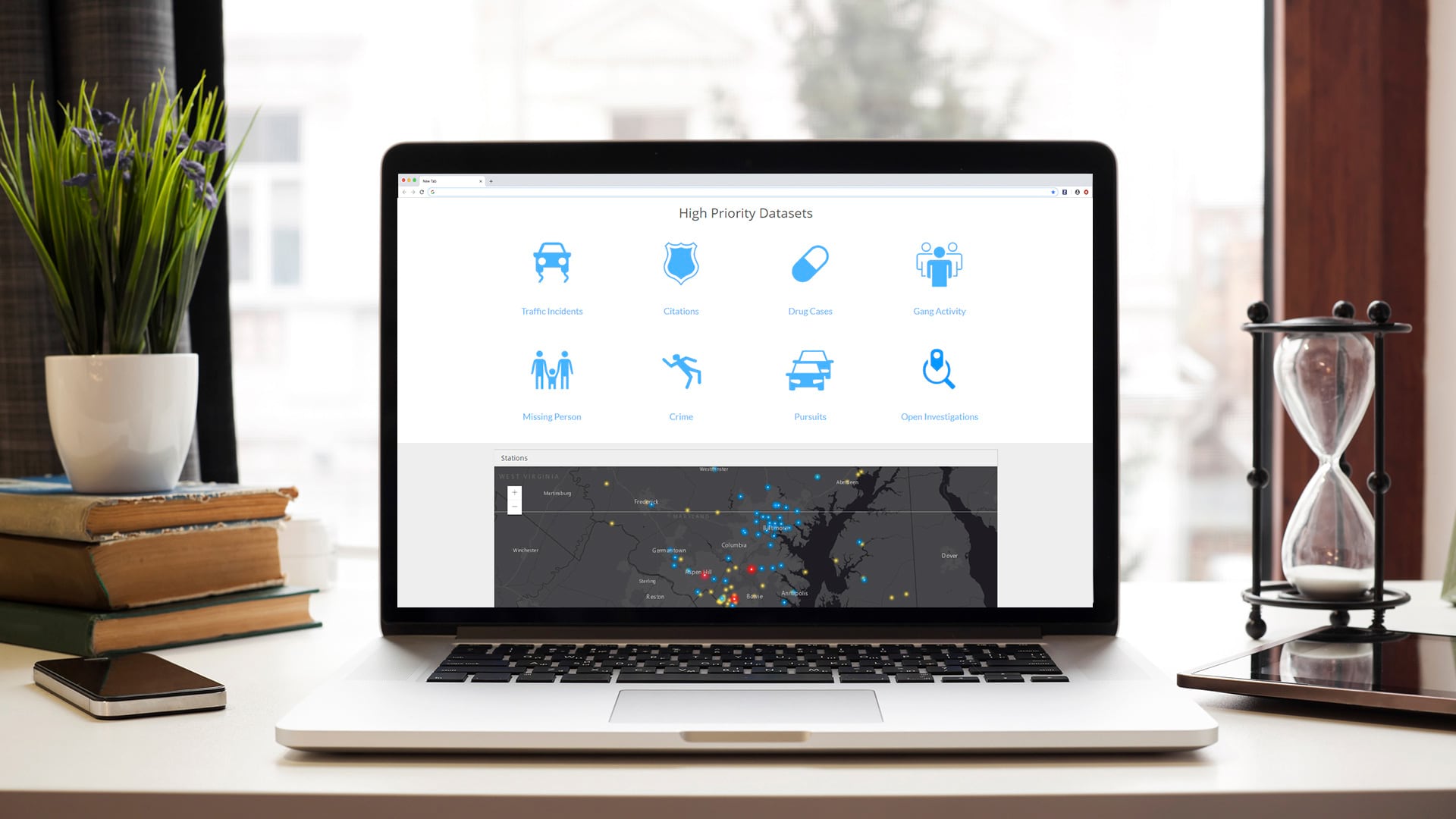
Esri has a new ELA for smaller governments, is improving public trust and police legitimacy, and has partnered with NASA to open MRF and LERC.
Maps and imagery from China now available on ArcGIS, Esri cited as authoritative standard for GIS, and Esri exploring how to keep nondangerous...
The world’s largest GIS conference will be held July 20–24, 2015 in San Diego, California.
With ArcGIS Enterprise Sites, users of all experience levels can design and build web pages that highlight an organization’s GIS content.

Certification can bring incredible value to an organization—especially when championed organization-wide, like at Esri Netherlands.
Esri named a leader in location intelligence, launches new Ocean Health Hubs with OHI, and expands IoT developer opportunities.

ArcGIS Online now has five new User Types, which match user characteristics with GIS capabilities and apps. Which User Type are you?

Congress passed the Geospatial Data Act of 2019 into law in October 2018, and it will have far-reaching effects on the GIS user community.
Bay Localize, located in Oakland, California, sees urban rooftops as a potential source of food, water, and energy that will make cities more…

Plant-for-the-Planet founder Felix Finkbeiner sees the forest and the trees: 4.2 trillion of them.