displaying 262 results
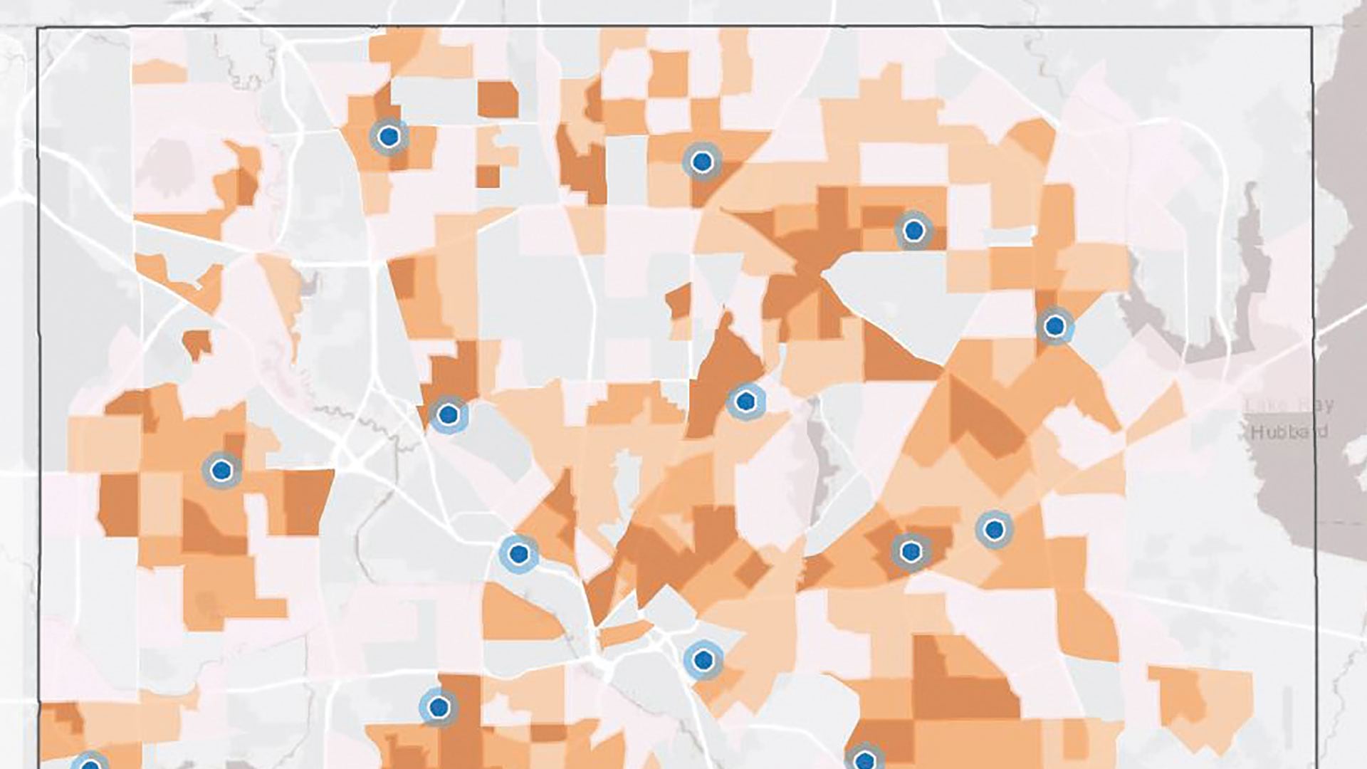
Take a closer look at the locational distribution of disadvantage in the United States according to Justice40 data.
Discover the four repeatable patterns governments are following to address broadband expansion and close the digital divide with GIS.
Esri has released new data on disadvantaged communities on ArcGIS Living Atlas of the World. Learn more in this blog.
Wastewater is often a reflection of a community’s health. Explore how different communities use GIS to monitor their wastewater effectively.
Maria-Alicia Serrano with the YMCA explains how the her organization uses mapping and analysis to strategically serve communities.

Esri’s commitment preserving life on Earth was reflected in the 2023 Esri User Conference theme, GIS—Creating the World You Want to See.

Alternative text in ArcGIS StoryMaps makes content more accessible to those with limited vision.
A new book from Esri Press illustrates how a geographic approach can help solve “wicked” problems because of their complexity.
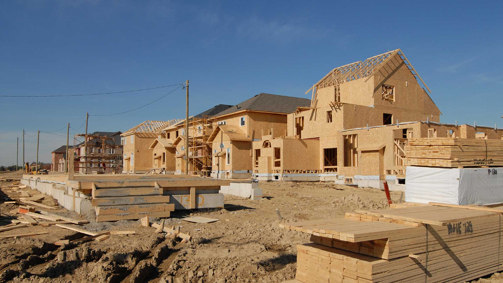
Any conversation that planners and administrators have today about community resilience has to include a sustainable housing policy.

Since 2001, Connected Nation, a nonprofit 501(c)(3) organization has been working to bridge the digital divide.