displaying 4561 results
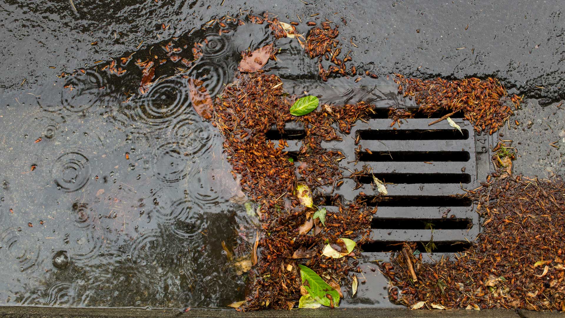
The easy-to-use web app sends key metrics to local governments, informing future actions they can take to ensure good water quality.
Golden Compass helps women geographers from other countries who work in the United States process and enhance their experiences.
Bridging the gap between physical and human geography will better address climate justice—and improve climate science.
In Norfolk, Virginia, the city needed a way to alert the public about flooded roads. That’s where FloodMapp comes in.
Leverage GIS to support equity objectives, empower staff to take action, track program effectiveness, and communicate results.
Esri’s new Social Science Collaborative aims to help social scientists use GIS more regularly, especially for qualitative analysis.
Using GIS-based weed-spraying technology, environmental restoration organizations are working to reverse the impacts of industrial development.
With ArcGIS GeoAnalytics Engine, it takes minutes—rather than hours or days—to process massive volumes of spatial data.
In the age of remote work, the state of Ohio is turning to GIS to address inequalities in reliable broadband access.
A comprehensive ArcGIS Hub site aggregates data on waterways, making it accessible to the public and easier to use for collaboration.
Esri’s new courses cover ArcGIS Insights, spatial analysis, and imagery, and updated ArcGIS Pro certifications validate two skill levels.
Throughout their histories, GIS, remote sensing, and photogrammetry have developed on parallel yet distinctly separate tracks—until now.
