displaying 74 results
geographic approach is guiding natural resource executives through a major global conflict and a seismic transition to clean energy.

COVID-19 has impacted many parts of society. Will it shake the supply chain in ways even climate change and trade wars haven't?

GIS is an indispensable tool for redistricting. At this critical moment for gerrymandering, GIS specialists must get engaged in the process.
While geospatial data is key to science, governments, and businesses, it is difficult data to share securely. But a solution is coming.
Over the next decade, geography and GIS will gain even more prominence. Here’s how to prepare yourself for careers in these fields.
Everyone with some GIS experience has something to offer K–12 classrooms, so consider joining the GeoMentor community.
Esri and the Association of American Geographers work together to develop a GeoMentoring network to support the ConnectED Initiative.
Congress passed the Geospatial Data Act of 2019 into law in October 2018, and it will have far-reaching effects on the GIS user community.
Online teaching and learning is poised to radically change the institutional structures and traditions of education in the US and worldwide.
The FGDC has transformed thousands of disparate geographic databases into a dynamic, coherent, and strategic resource for better governance.
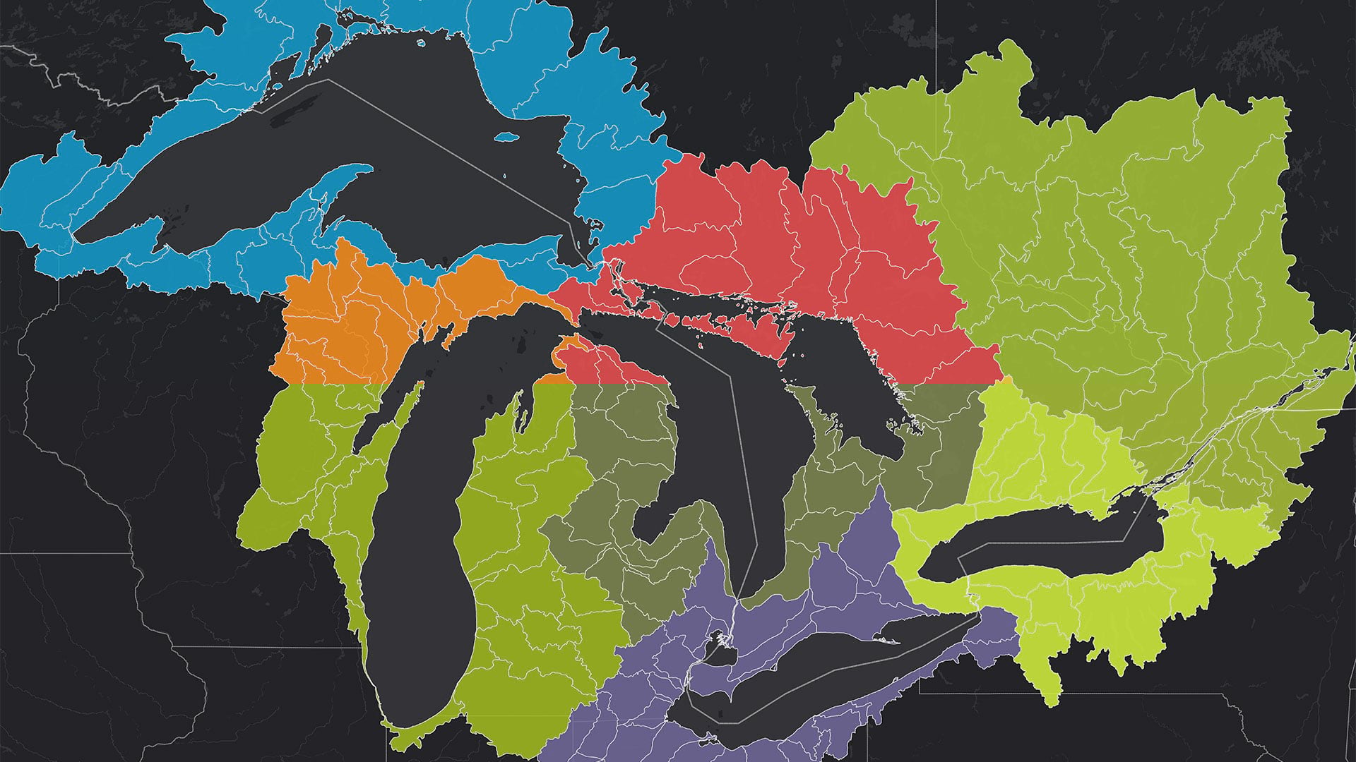
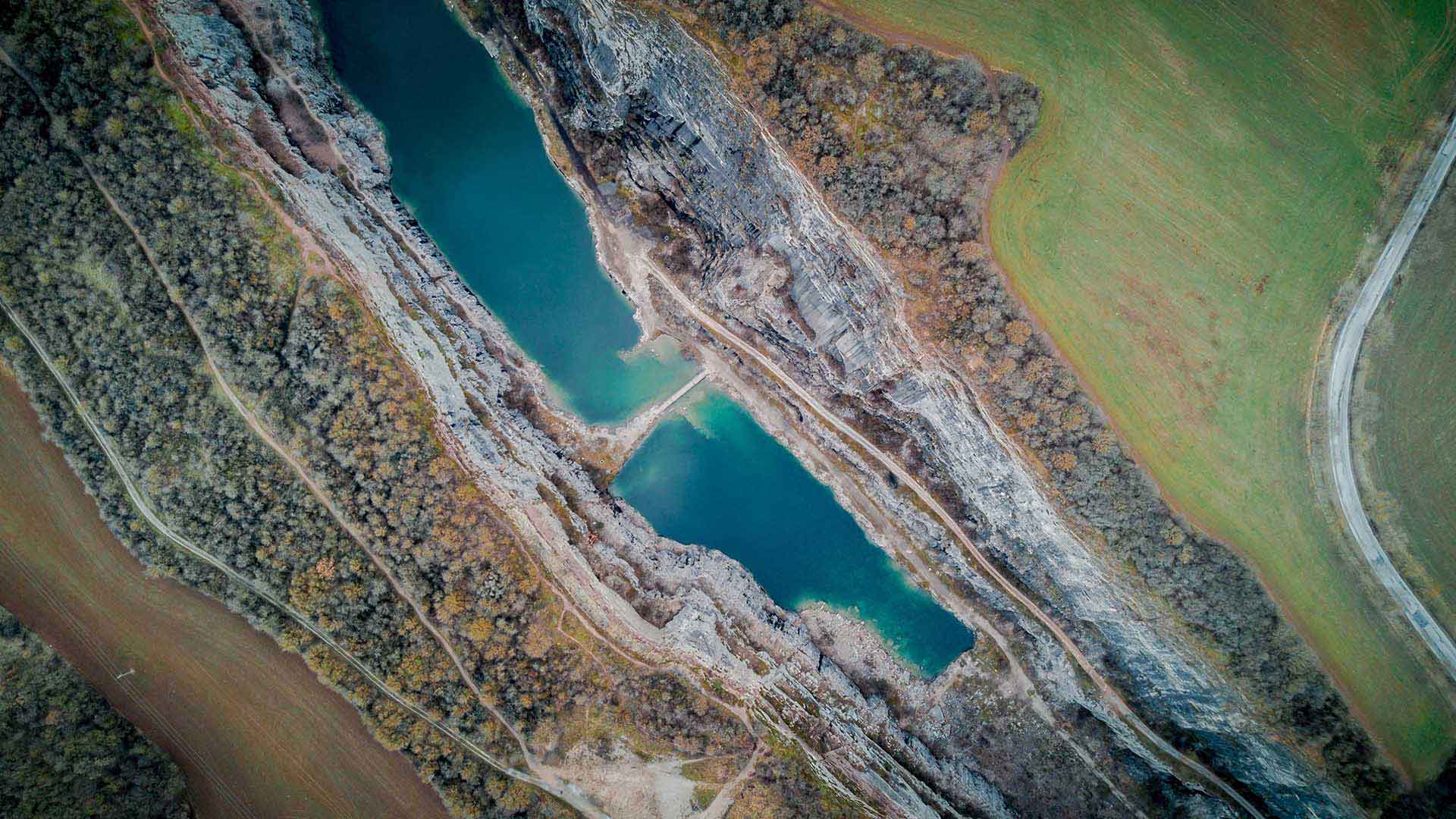
The Tipping Point Planner Program helps participants link watershed data to local decision-making processes to better plan for the future.

India has long been a leader in using modern spatial technologies and started its tryst with satellite images and GIS in the 1980s by having its…