displaying 998 results
Helping City Improve Operations and Enhance Resilience The data sharing policies adopted by the GIS office of a Greek city, initially ...
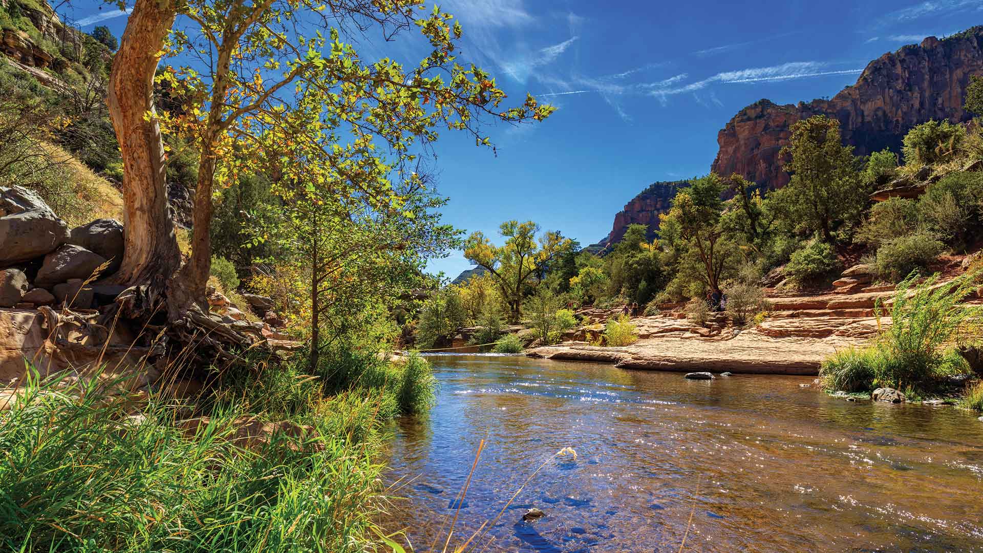
While enjoying Arizona’s recreational opportunities, residents and visitors can help preserve its streams, washes, rivers, and lakes in just a…
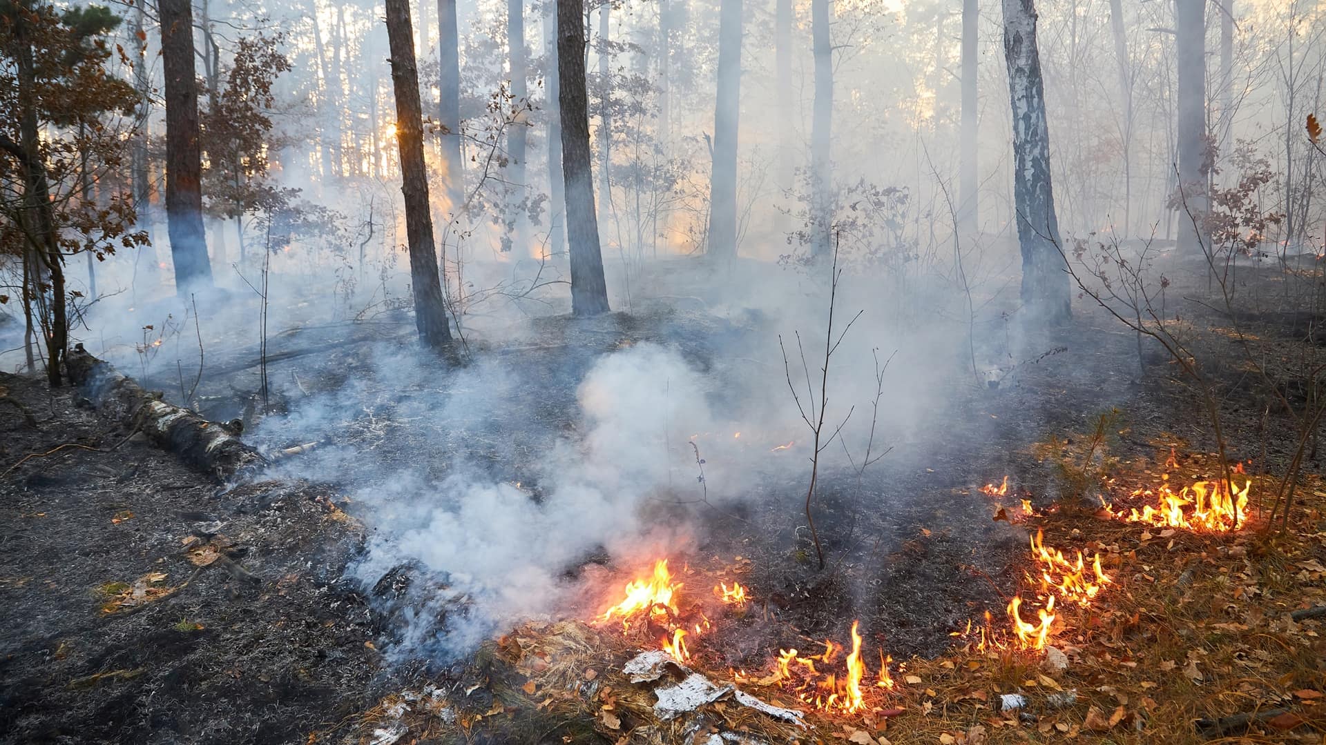
Wildfires will continue, and they are necessary for ecological health across landscapes, but there’s a lot we can do to tamper the extremes.
Whether you need to find where the fewest Americans have health coverage or where a typhoon is heading, you can use GIS to get answers.
A new chlorophyll layer added to ArcGIS Living Atlas of the World will help researchers study ocean health.
The South Carolina Department of Health and Environmental Control uses ArcGIS to quickly develop web and mobile apps...
Esri offers a collection of maps and apps designed to help communities respond to public health-related issues such as opioid addiction...
Representatives from the United States Department of Agriculture's Animal and Plant Health Inspection Service show how the ArcGIS platform...
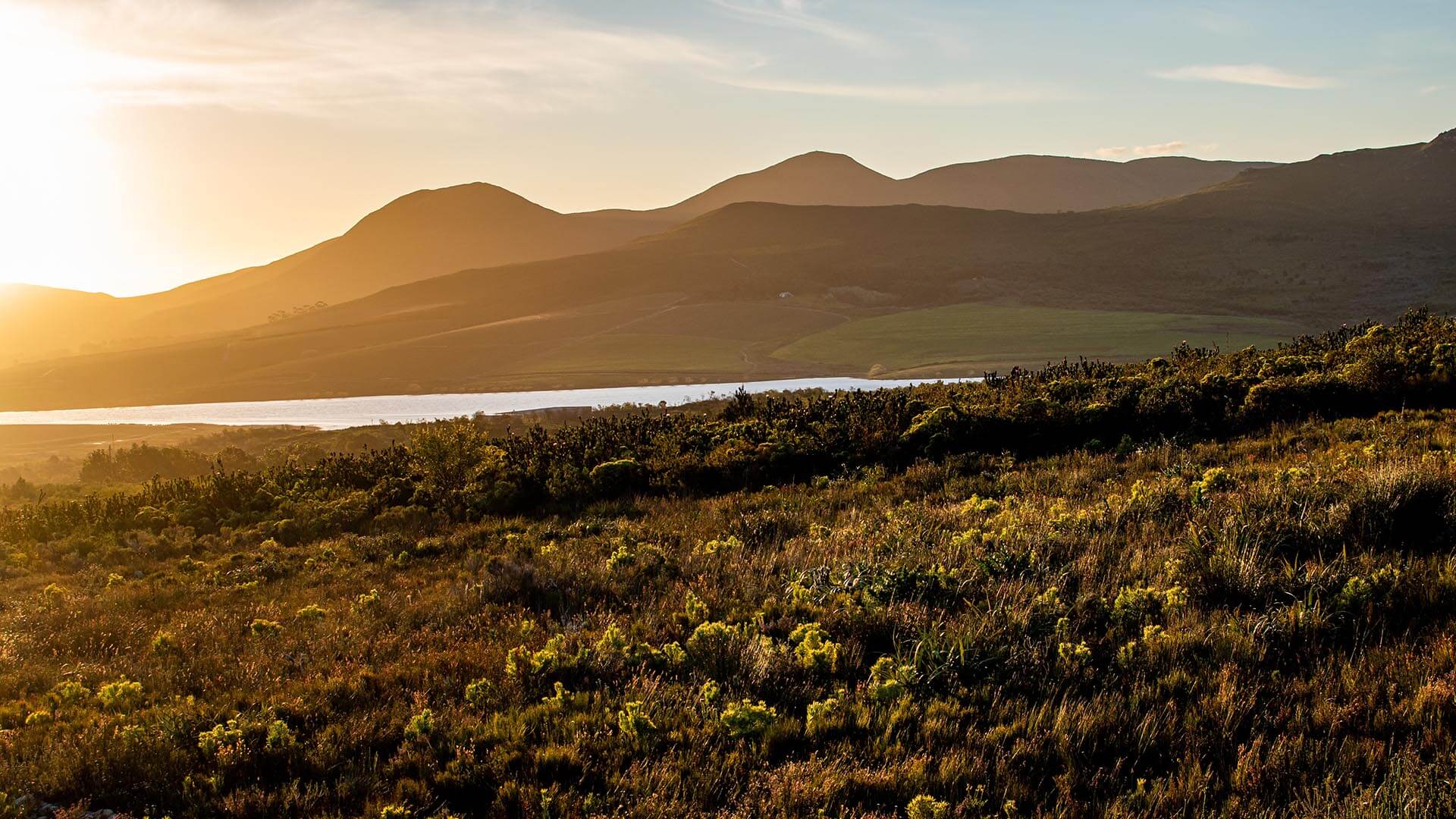
Take a crash course in what biodiversity means to Fortune 500 businesses in this Think Tank Q&A.