
August 2, 2022 |
Anthony Schultz | Public Safety
The Infrastructure, Investment and Jobs Act and the Inflation Reduction Act together make the largest investment in climate solutions in American history, including millions in new funding to protect communities from wildfire. That’s good news for sure.
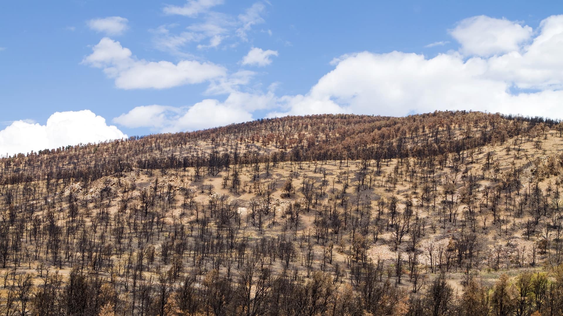
But while the new law pledges to make more than 4 million acres of public and private forests across the nation more resilient, more than 4 million acres in California alone have been lost to wildfire in just two years.
The country needs new ways to engage businesses and the public given the gap between available funds and the cost of necessary mitigation actions.
Understanding the priorities and realities across different regions is crucial and a geographic approach can help address the droughts and climate changes that creates incendiary conditions. It allows us to divide and conquer with maps, apps, and data that can be tailored to every organization and individual from the landscape scale down to individual properties with guidance on what we can do to save the forests we love.
Many industry and private-sector players are now using maps, apps, and data to reduce risks. PG&E is busy burying powerlines that are most problematic. Insurers have been flying squadrons of drones and outfitting their own firefighters with maps that focus efforts on saving homes. And ranchers have been grazing livestock in the wildland-urban interface along corridors of greatest consequence to eliminate fast-burning grasses. They all use the latest mapping tools to determine where to act and mark progress on maps—and they’re not alone.
In Napa County, where smoke alone ruins grapes, a detailed community wildfire protection plan is in place. It contains maps with mitigation measures, including fuel breaks to remove trees from more than 1,000 acres around the town of Angwin. This may sound extreme, but high hazards and a history of fire makes this plan essential to protect lives, homes, property, critical infrastructure, and the natural environment—including vineyards.
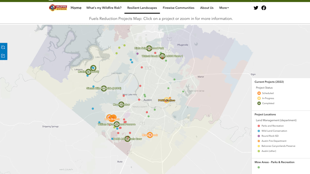
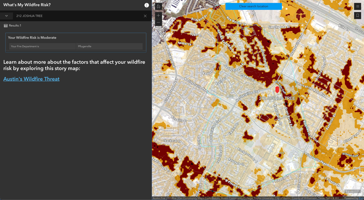
Land management agencies, local governments, and state emergency management agencies have been assessing properties and giving homeowners tailored maps of what trees, bushes, and other vegetation they should cut. These smart maps go a long way in reducing damages, with proven results.
The combined efforts of individuals and private and public sector actors all help to reduce the danger and negative impacts, but we could be doing more to coordinate the work in every county, town, and state.
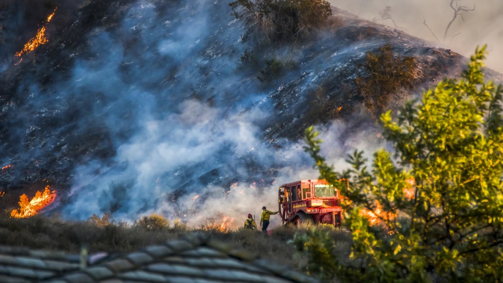
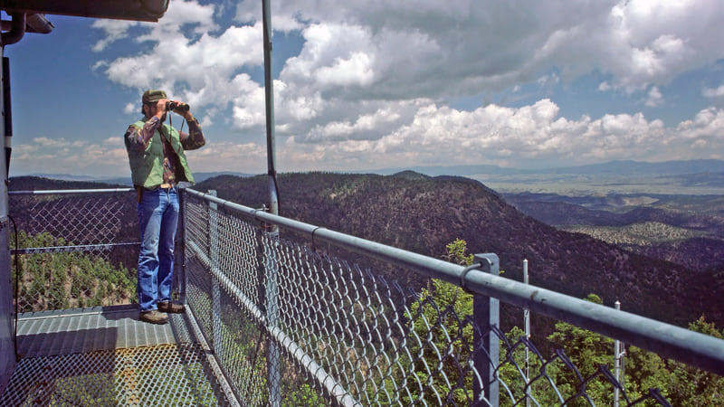
More than 22,000 firefighters battle blazes using shared maps with support from the National Interagency Fire Center (NIFC). They can see each other’s actions and the progress being made on every fire. The operational view helps the cadre of wildfire professionals see and act as one during incidents. Likewise, we need a mitigation view to abate the danger presented by tinder-dry forests with high wildfire risk due from extreme weather events, such as Southern California where Santa Ana winds occur every fall.
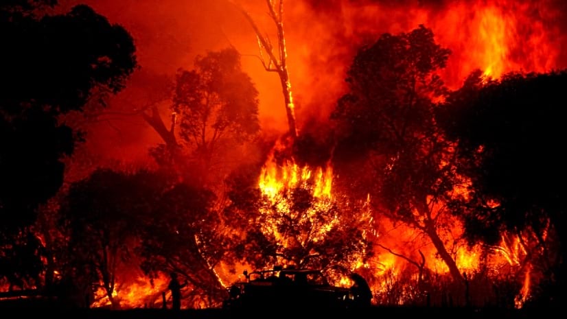
It’s heart-wrenching to see whole towns go up in flames across the West and around the world with death tolls that increase as fires become more intense and fast-moving. Anyone who’s witnessed unprecedented extreme fires with fire whirls or one of the only recorded fire tornadoes witnessed during the Carr Fire near Redding, California, would agree that all measures must be taken to reduce fire intensity.
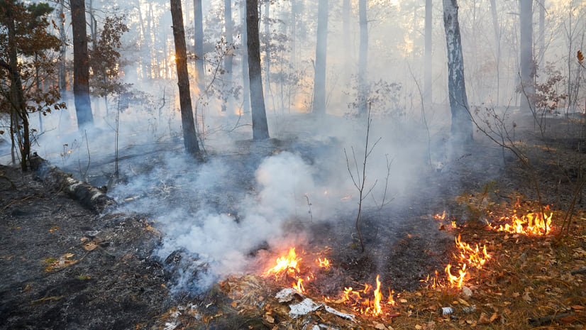
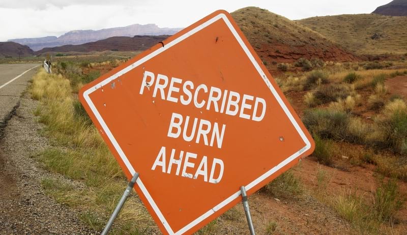
Wildfires will continue no matter what, and they are necessary for ecological health across landscapes, but there’s a lot we can do to tamper the extremes. Reducing fuels by thinning forests and using prescribed burns when conditions are appropriate has proven to abate the intensity of fire. When fire burns severely, it can cause the soil to repel water which leads to erosion, landslides, and floods. Taking mitigation measures in advance will reduce the recovery time if a wildfire occurs.
Given the stakes, every landowner should take steps to safeguard their property against the damage from wildfire. Mitigation measures include thinning trees, hardening homes and infrastructure, and following fire resistant landscaping practices. If your county or fire district doesn’t share mitigation measures or provide maps and dashboards to show progress on mitigation measures, then you should strongly consider making the case for it, because of the critical actions it enables. When we’re all working together, and can see each other’s work, it builds community bonds and strengthens overall mitigation efforts.
The remarkable thing about shared maps is how we feel when we contribute. It’s not your map or my map, it’s our map. And we see how our collective power grows as more people join the effort. A shared map provides common ground to prioritize our actions, to put funding to work where it’s most needed, and to rally all resources and assets to the cause.
Technology is the easy part. Many land management agencies, local governments and emergency response organizations already use these mapping tools. We just need to extend them to more stakeholders.
If we all share maps and act where we’re guided, we can tackle the wildfire threat together. In a world that’s too divided, saving our forests is an easy common cause, and maps can guide us there.