displaying 1246 results

Tietorahti Oy, Finnish transport consulting company, created a mobile app to easily access critical data while on the road.
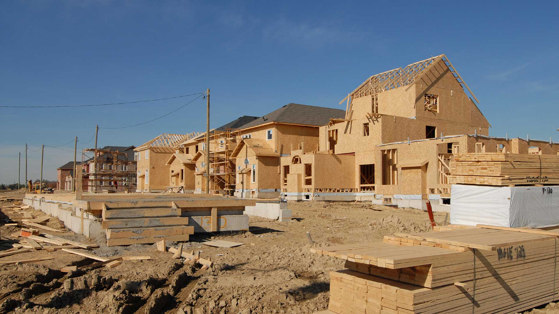
Any conversation that planners and administrators have today about community resilience has to include a sustainable housing policy.

Government agency Infrabel developed two GIS-based apps that track train and worker movements—in some cases, down to the subfoot level.

To minimize the hazards associated with driving through remote areas, Saudi Aramco designed a solution that tracks vehicles in real time.

The Los Angeles Department of Water and Power is making spatial data more widely and readily available with ArcGIS Enterprise.

See why the Swiss Federal Institute of Technology (ETH Zürich) is a leader in educating students in cartography and geoinformation.
If you work in retail development or commercial real estate, you are constantly on the go, looking for new locations to expand your business...
More than half of Pennsylvania is swathed in temperate forest. Out of those 17 million verdant acres, the state DCNR manages 2.2M as state forest
Working together to build powerful geospatial technology was the message behind the Esri Developer Summit.
Bell Aliant, one of North America’s largest regional telecommunication service providers and the leading fiber-optic service provider in...
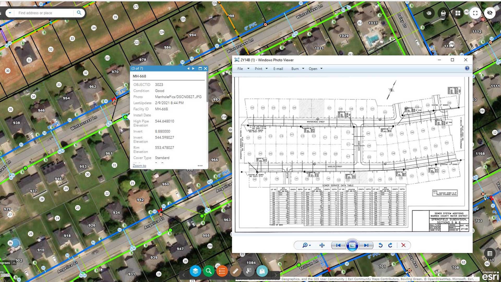
A Kentuckywater district increased the locational accuracy of assets so that its engineering team could use data for hydraulic modeling.

More efficient ways to manage your ArcGIS Online organizational account.