displaying 920 results

To bridge the digital divide in GIS, we need to democratize access to advanced cyberinfrastructure and high-performance computing resources.

The Los Angeles Department of Water and Power is making spatial data more widely and readily available with ArcGIS Enterprise.
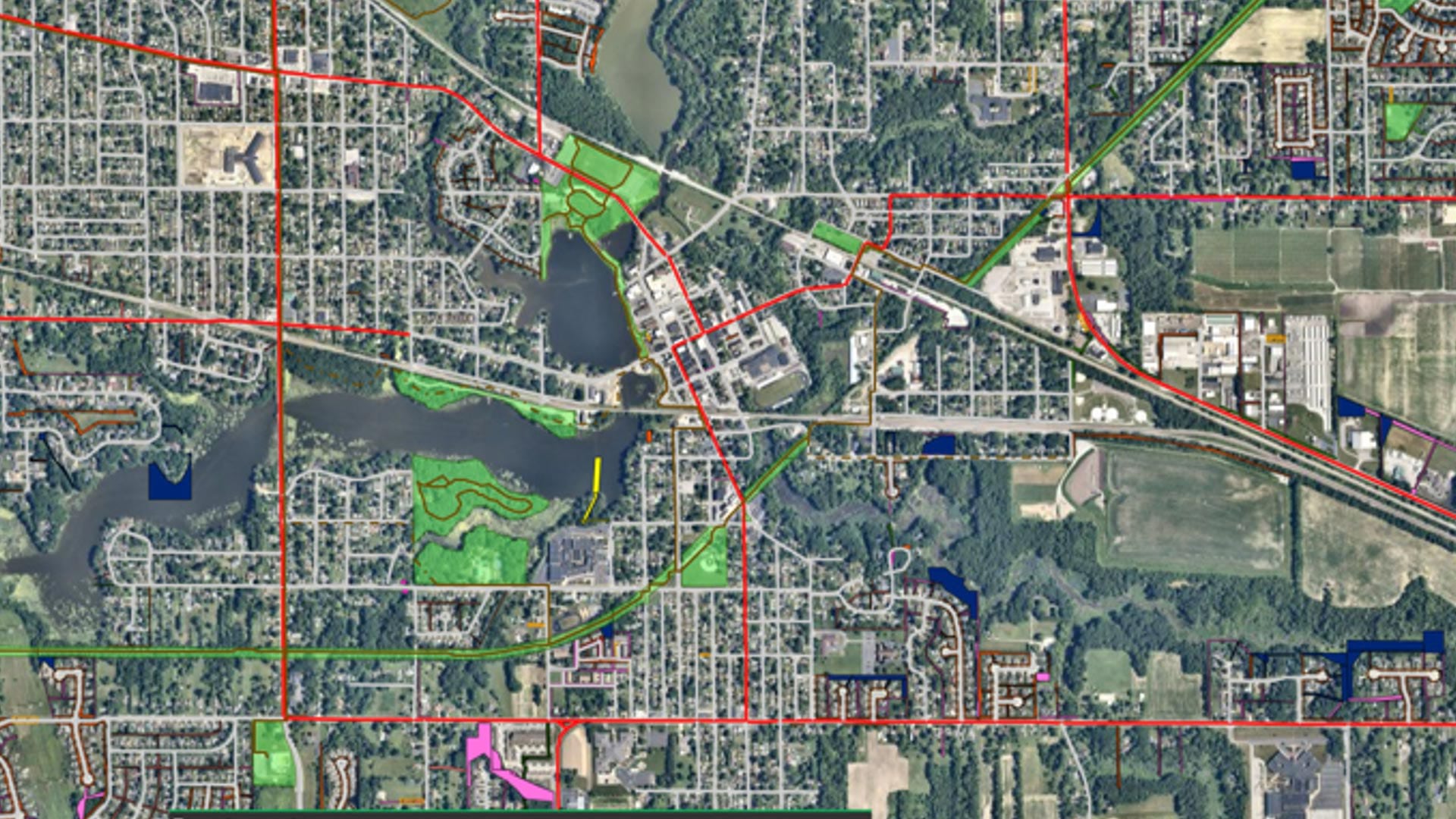
With help from Geographic Technologies Group, Hobart, Indiana, is building a sustainable, resilient, and scalable GIS for the whole city.
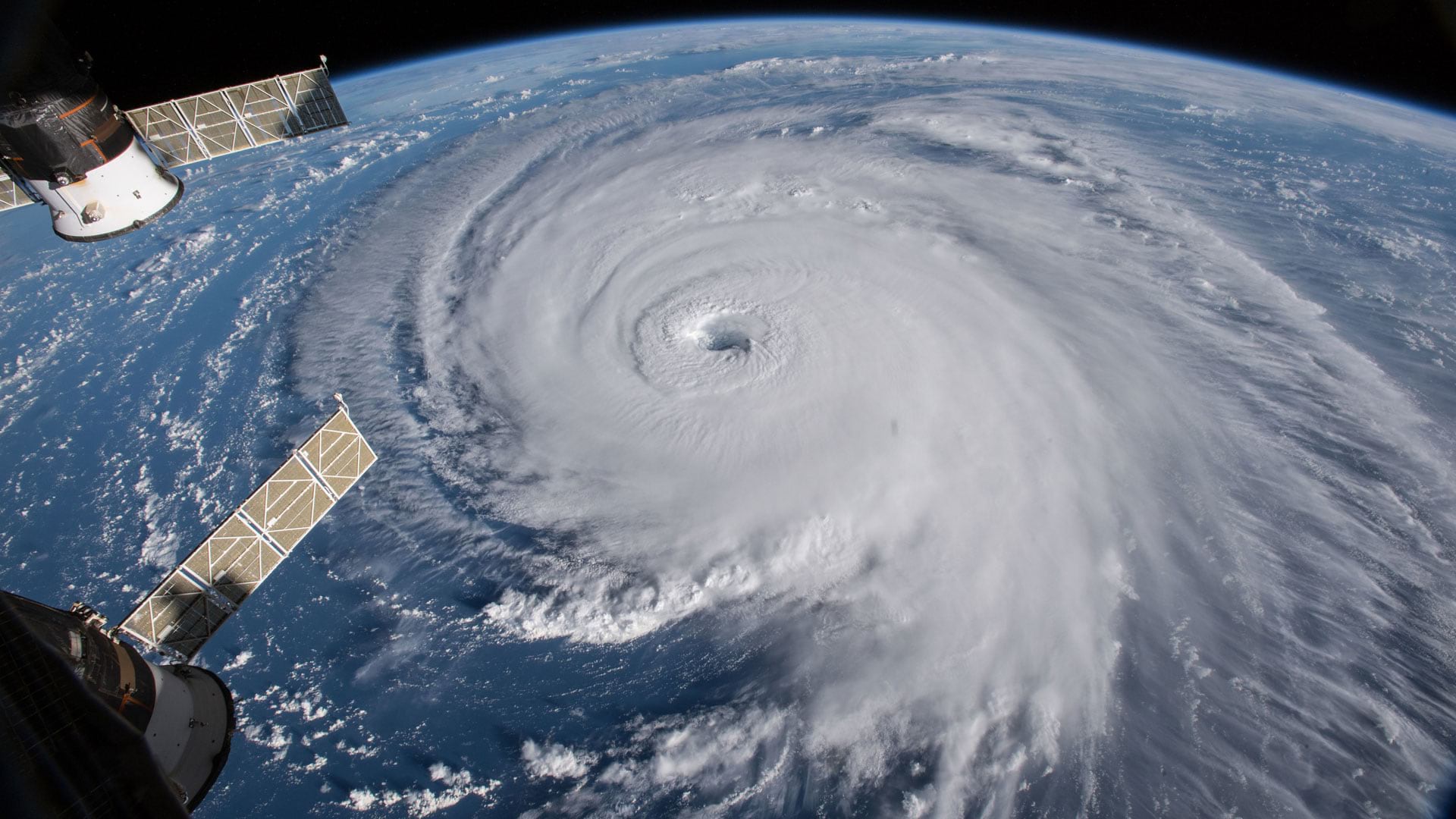
Group on Earth Observations (GEO), Esri, and many other organizations and nations work together to reduce disaster risks worldwide.

Read about the latest books from Esri Press, which will help you up your GIS game.
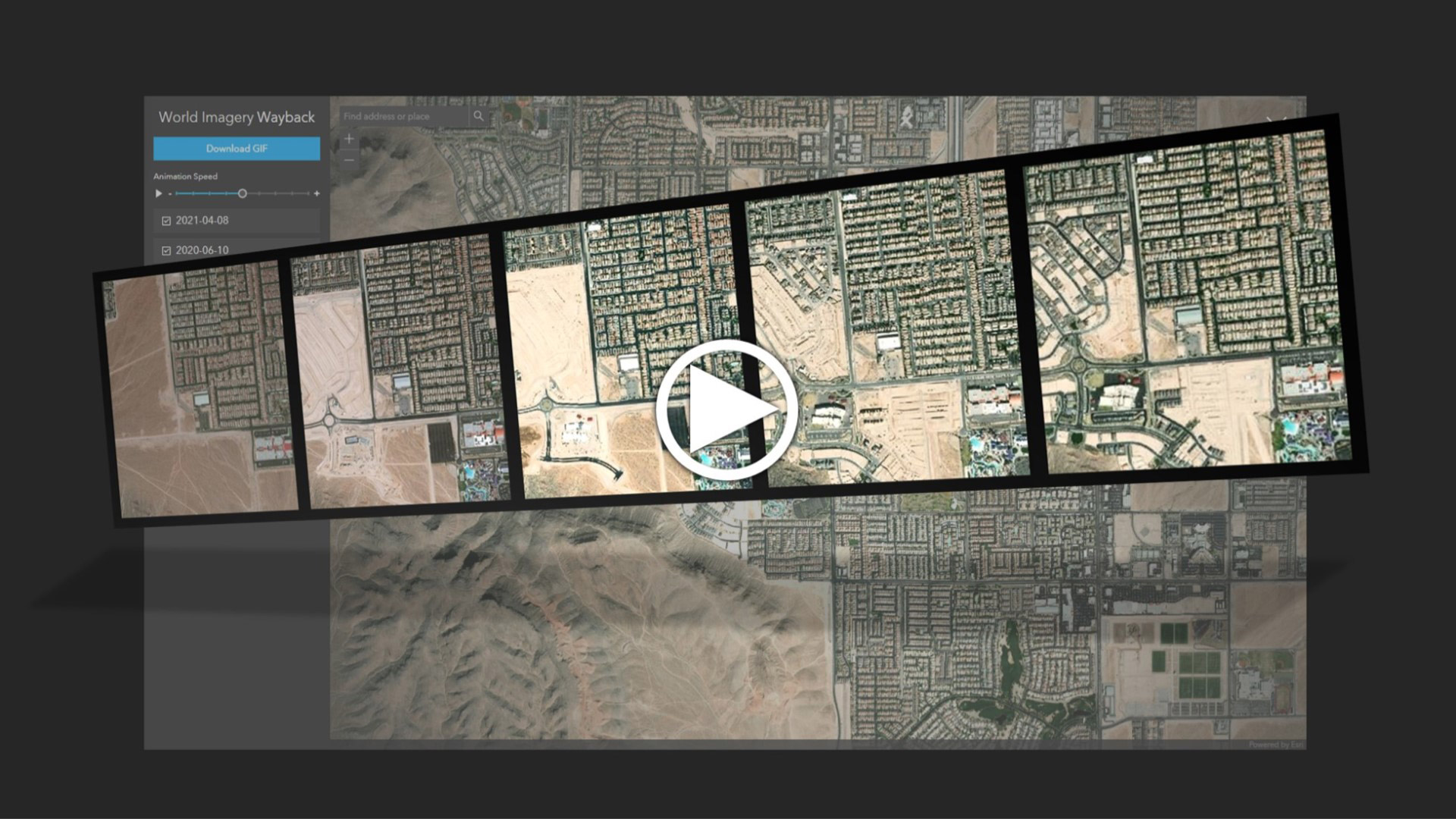
Learn to create and share animations of your images of interest using the World Imagery Wayback app.

The cloud-based platform helps organizations work together to respond to natural hazards and prepare for a more sustainable future.

The natural world is under siege. Join some of the geospatial causes aimed at reducing biodiversity loss and protecting the planet.

To continue training employees through the COVID-19 pandemic, Singapore’s Urban Redevelopment Authority digitally transformed its courses.

New books from Esri include GIS Tutorial for ArcGIS Pro 2.8 and GIS for Science, Volume 3: Maps for Saving the Planet.

Mapping for a Sustainable World is a must read for anyone interested in how mapping can help understand the Sustainable Development Goals.
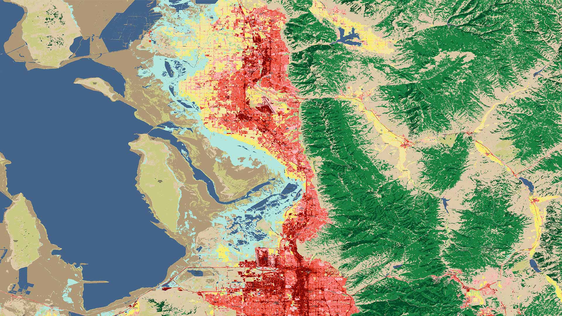
By making three significant enhancements to its policies and technology, Esri aims to get more people to use these high-priority datasets.