displaying 918 results

The GIS team at Crestwood implemented the ArcGIS Pipeline Referencing extension to better edit and administer its pipeline data.

EarthViews built a custom, web-based platform that allows port employees to navigate the bay virtually.

Ian Wint, the GIS manager at the City of Fort Lauderdale, Florida, takes risks and isn’t afraid to fail. That’s why he’s a GIS Hero.
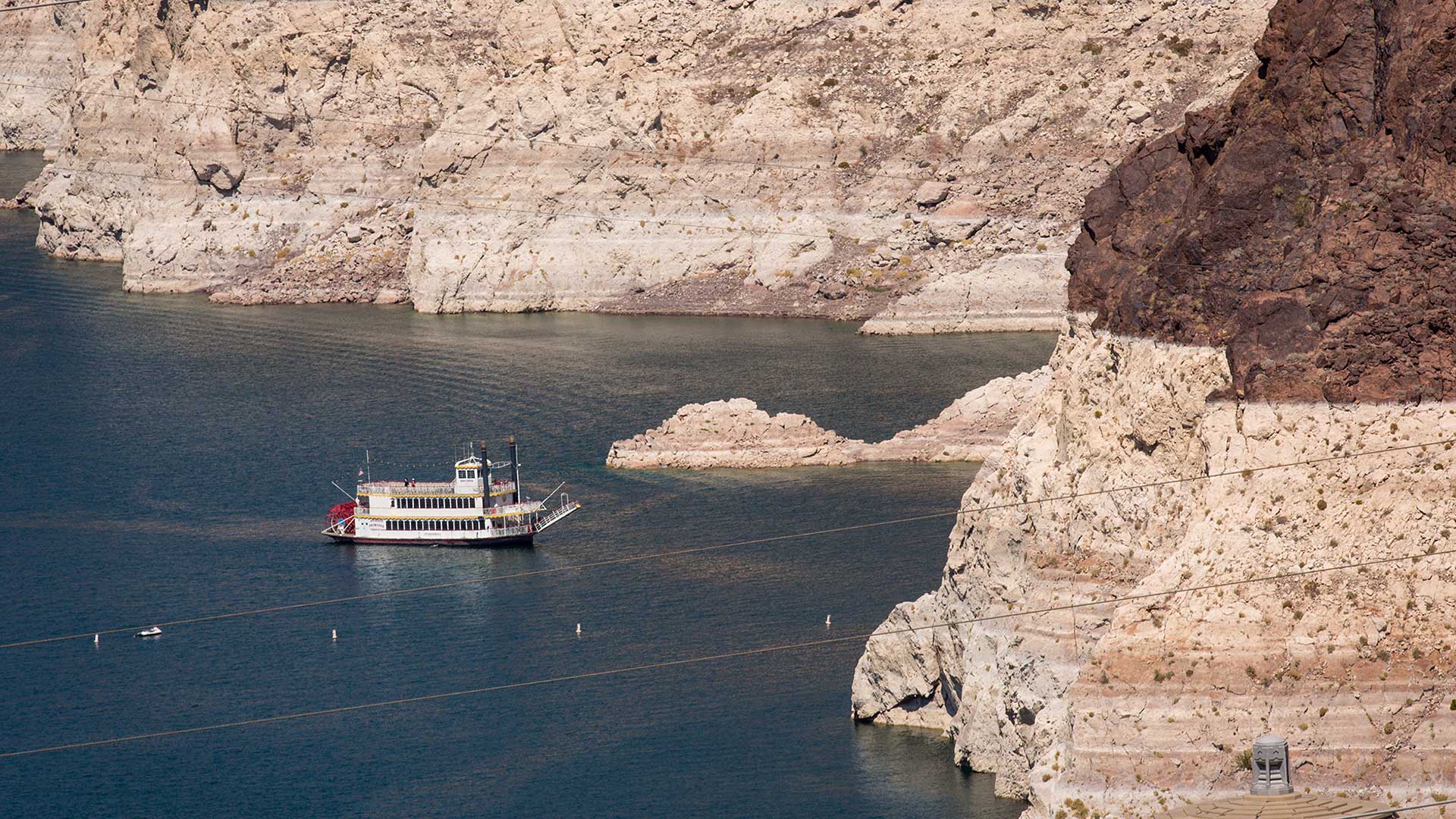
Will Arizona run out of water? The Arizona Water Blueprint, a new water mapping tool, visualizes the data and tells the story.

A cycling organization in Québec, Canada, maps mountain bike trails using ArcGIS QuickCapture and GNSS receivers from Eos Positioning Systems.
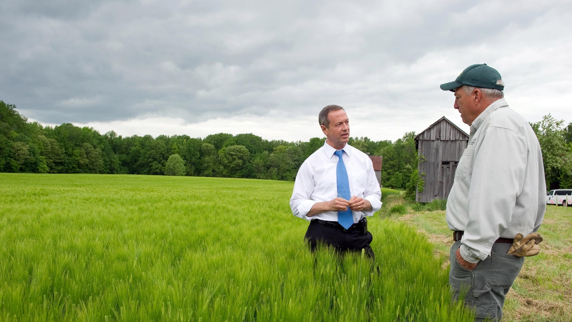
In his new book Smarter Government, former Maryland governor Martin O'Malley explains the role of GIS in good governance.

Developed with ArcGIS technology, the model can help resource managers holistically manage fisheries and anglers find new fishing spots.

Want to know when the air quality’s too bad to exercise outdoors or where to get alternative fuel? The South Coast AQMD app does both.

To help solve real-world problems, SDSU’s Center for Human Dynamics in the Mobile Age does location-based analysis of social media posts.

Deploying Workforce for ArcGIS and Operations Dashboard for ArcGIS has given North Augusta a clear and thorough view of fieldwork processes.
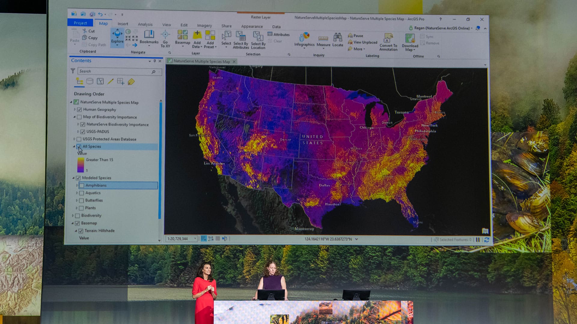
At the 2019 Esri User Conference, a range of users demonstrated how their GIS implementations work as an intelligent nervous system.

Aegean Energy Group’s Maps to Megawatts solution helps alternative energy developers gather and analyze field data so they can be strategic.