displaying 998 results
Recent updates to ArcGIS Online include updates to several basemaps, the release of Esri Maps for Office, and updates to ArcGIS Online subscript…
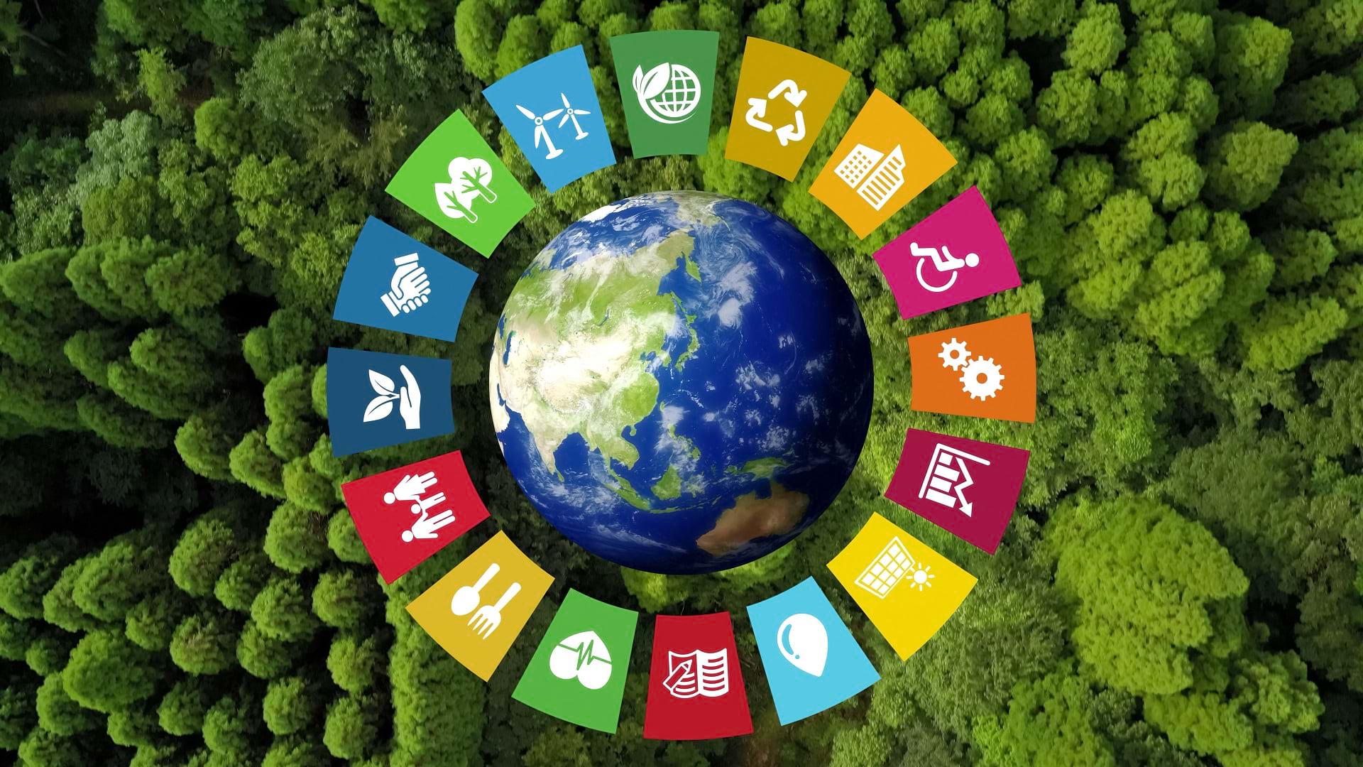
The SDG Data Alliance is working to help countries and organizations around the world achieve sustainable development goals with SDG Data Hubs.
ArcGIS Image provides flexible data management, extensive sensor support, imagery processing and analysis capabilities, and secure sharing.

The way geospatial information is used under the spatial data infrastructure framework often falls flat. Cartographers can help change that.
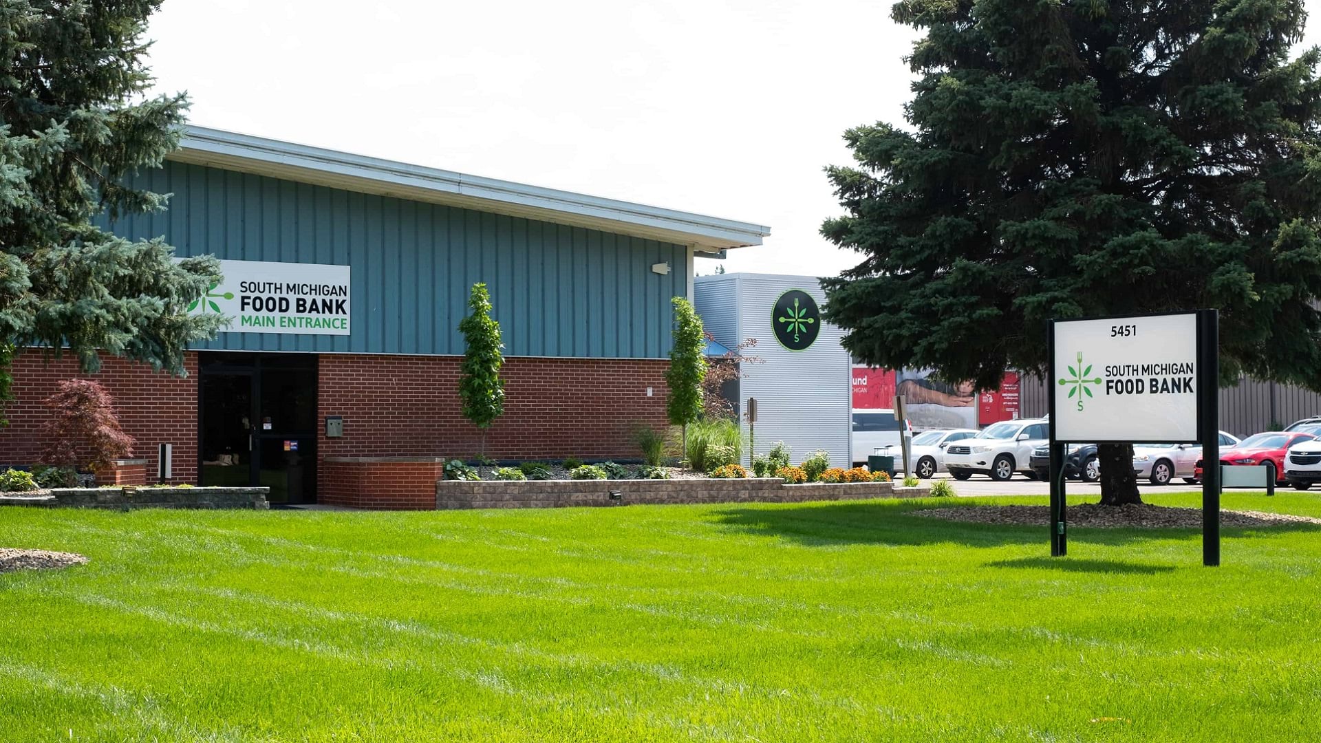
A collaboration between the South Michigan Food Bank and Coastal Carolina University has spurred a food distribution strategy driven by data.

By using established metrics and the latest geospatial technology to monitor progress, it is possible to curtail biodiversity loss.
Christiane Schmullius uses radar remote sensing to explore land surface changes around the world. She also teaches the technology to others.

Find out how to access new datasets from NASA and the Sentinel-2 Land-Cover Explorer. Esri is also making open map data more interoperable.

With both feature and raster data, ArcGIS Online users can now use Map Viewer to take measurements, uncover spatial relationships, and more.

The organization offers a safe place for people of all genders and from all geospatial fields to work together to overcome common barriers.
The new World Terrestrial Ecosystems map is now available, and Esri was named a leader in understanding climate risk.
Esri’s chief scientist became the first person of African descent to dive to Challenger Deep, where she surveyed its Western Pool.