displaying 918 results
At the 2019 Esri User Conference, a range of users demonstrated how their GIS implementations work as an intelligent nervous system.
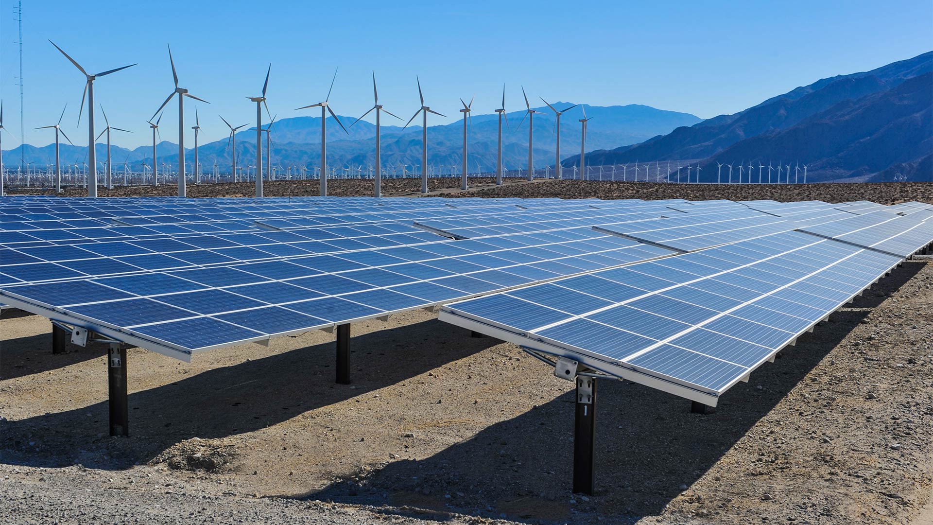
Aegean Energy Group’s Maps to Megawatts solution helps alternative energy developers gather and analyze field data so they can be strategic.
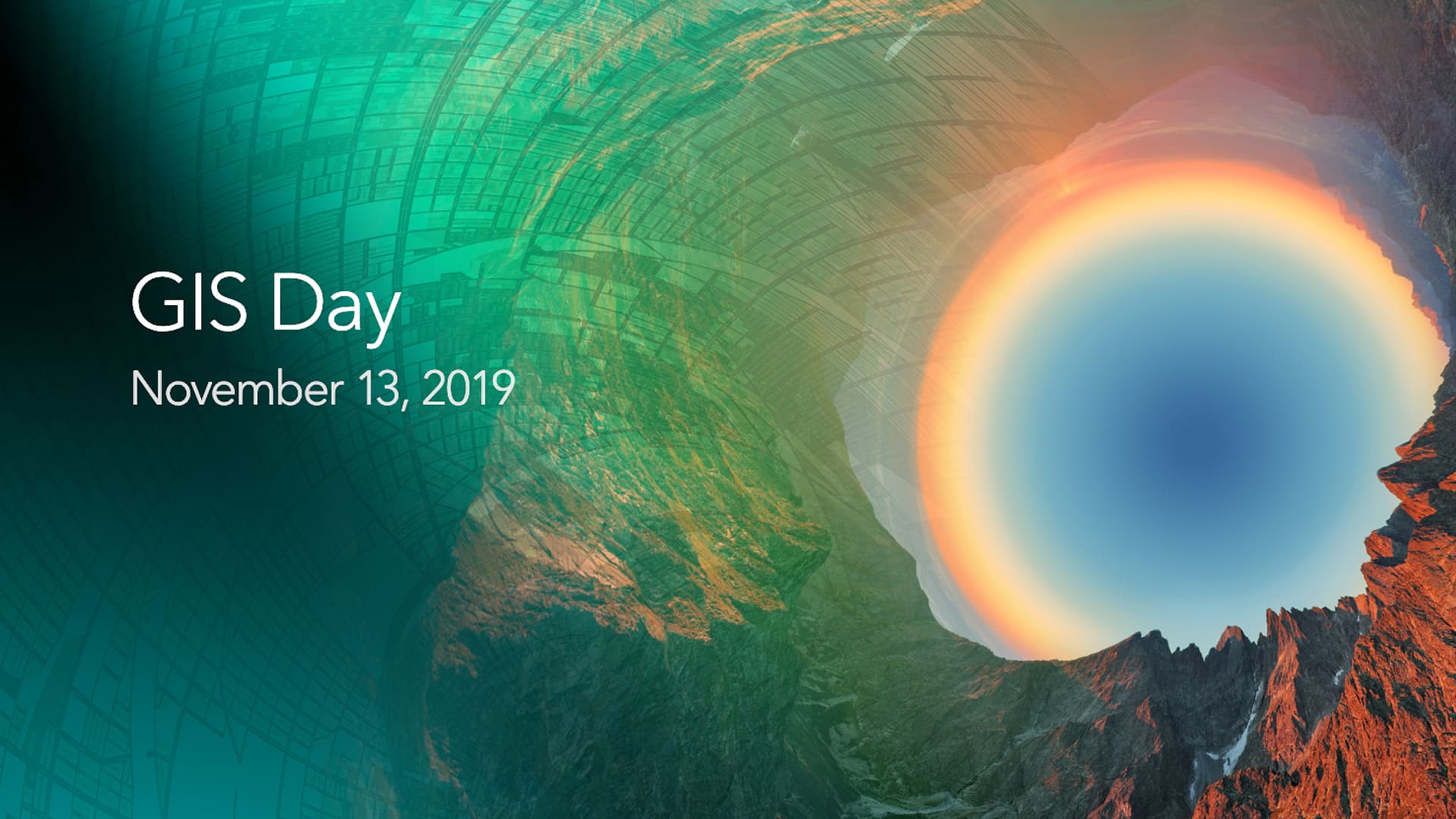
Where will you be and what will you be doing on November 13? If you are a GIS professional or just love mapping, consider hosting a GIS Day.

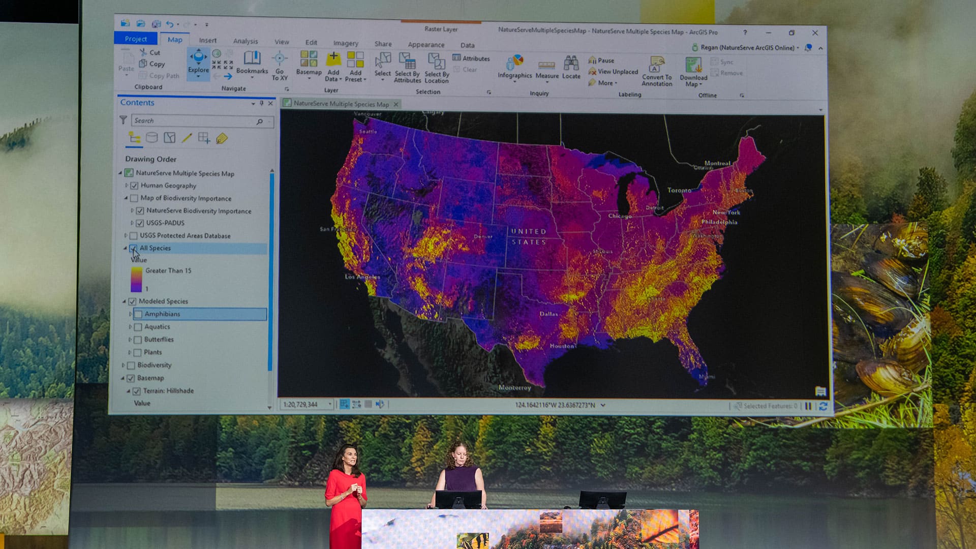
Biologist Edward O. Wilson, long focused on ants, is helping lead an effort to protect biodiversity worldwide through the Half-Earth Project.

The South Coast AQMD app gives users location-based air quality information for greater Los Angeles, California.

GIS is an indispensable tool for redistricting. At this critical moment for gerrymandering, GIS specialists must get engaged in the process.
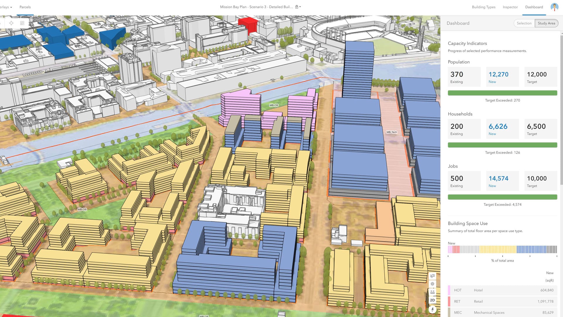
With an immersive 3D experience, ArcGIS Urban allows planners, governments, and citizens to visualize proposed development in their cities.

At the 2019 Esri Partner Conference, Esri recognized partners in 13 award categories for their expertise and superb ArcGIS implementations.
Esri has built the framework for a rivers and streams map that makes real-time stream and river gauge information accessible to ArcGIS Online...
An ArcGIS Hub-based community engagement platform gets Kentlands residents more connected to commercial decisions made in their development.
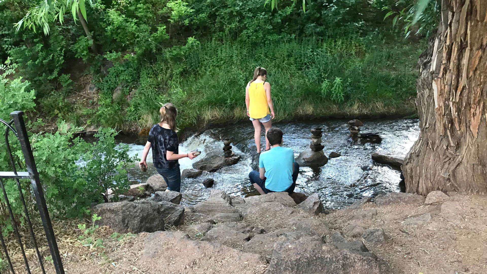
Manitou Springs, Colorado, is employing ArcGIS technology to create walking, biking, shopping, and running routes along a picturesque creek.

LA County is beta testing ArcGIS Indoors to give county employees and visitors complete mobility across familiar and unfamiliar spaces.