displaying 990 results

Find out how three Esri partners refined their clients’ GIS implementations to make them more streamlined and user-friendly.

Stop fighting fires all the time. Learn how to establish boundaries and grow as a department—and begin to look forward to new projects.

In Norfolk, Virginia, the city needed a way to alert the public about flooded roads. That’s where FloodMapp comes in.

Anyone can dabble in the craft of mapmaking. Cartographers need to ensure that mapmakers are equipped with sound cartographic techniques.
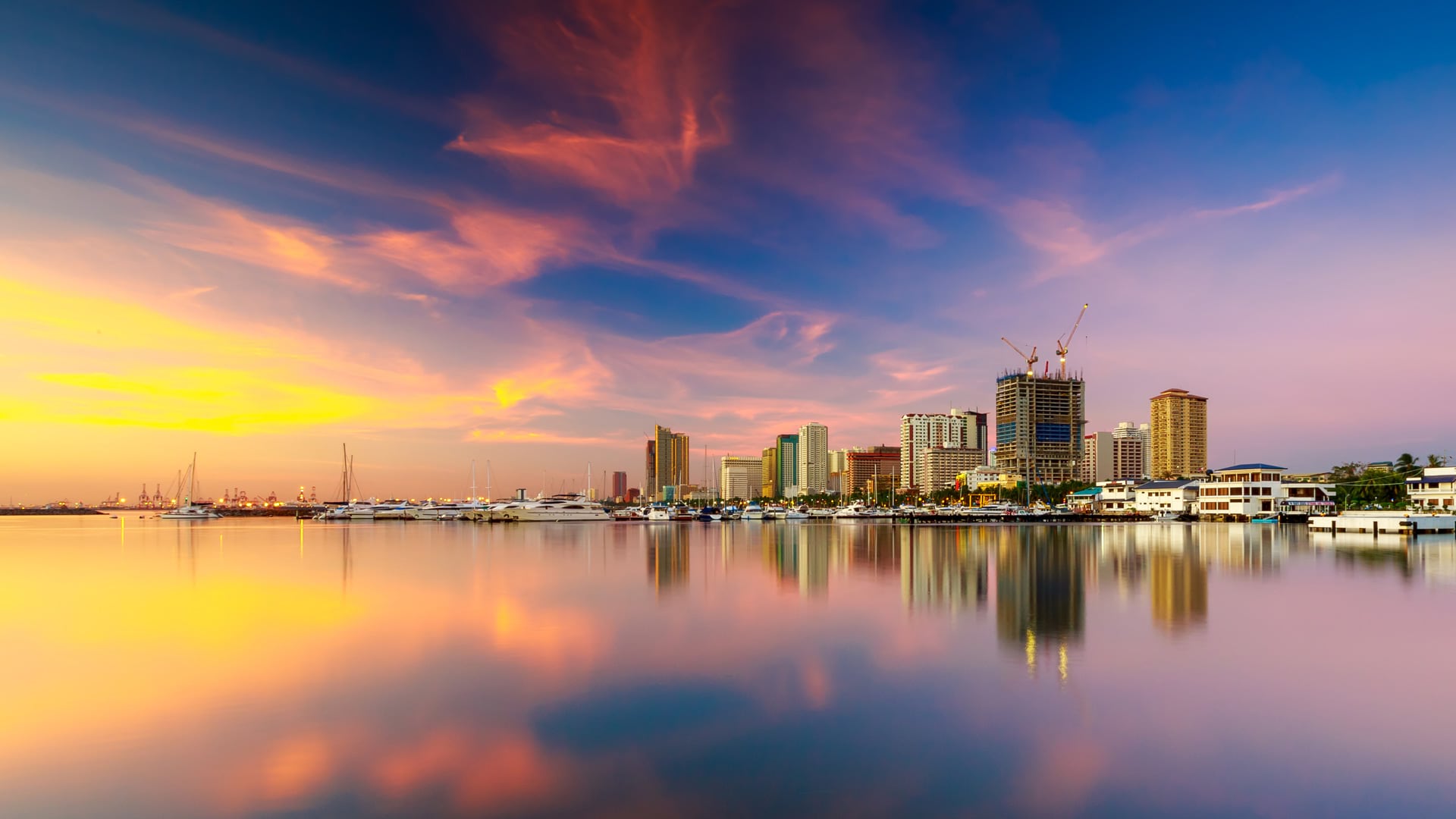
Using a custom web map to investigate illegal water connections, Maynilad Water Services has recovered $410,000 in commercial losses.

The new World Terrestrial Ecosystems map is now available, and Esri was named a leader in understanding climate risk.

Water management in Montana has a new look—a publicly accessible web app that provides detailed streamflow data with ArcGIS technology.

The potential for mapping—and what a map can be—is enormous. This potential comes with great responsibility.

The country now has a set of authoritative maps that officials can use to monitor objectives and set initiatives for the next 50 years.

Charlotte Smith taught herself GIS using Esri’s Learn Lessons. Now, she’s a GIS professor and practitioner who’s making waves in the field.
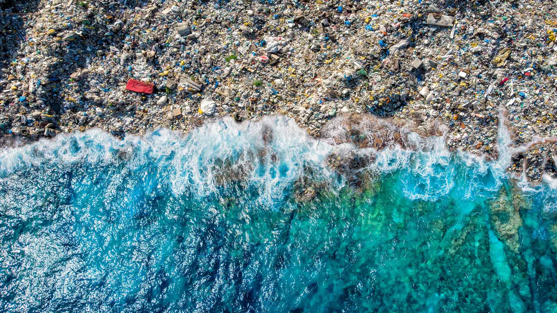
The GIS user community is key to figuring out which beaches around the world are consistently fouled by plastic and how to clean them up.

Esri’s chief scientist became the first person of African descent to dive to Challenger Deep, where she surveyed its Western Pool.