displaying 822 results
As the lead federal agency for terrestrial elevation data, USGS has managed the NED & coordinated its activities through the NDEP for more than…
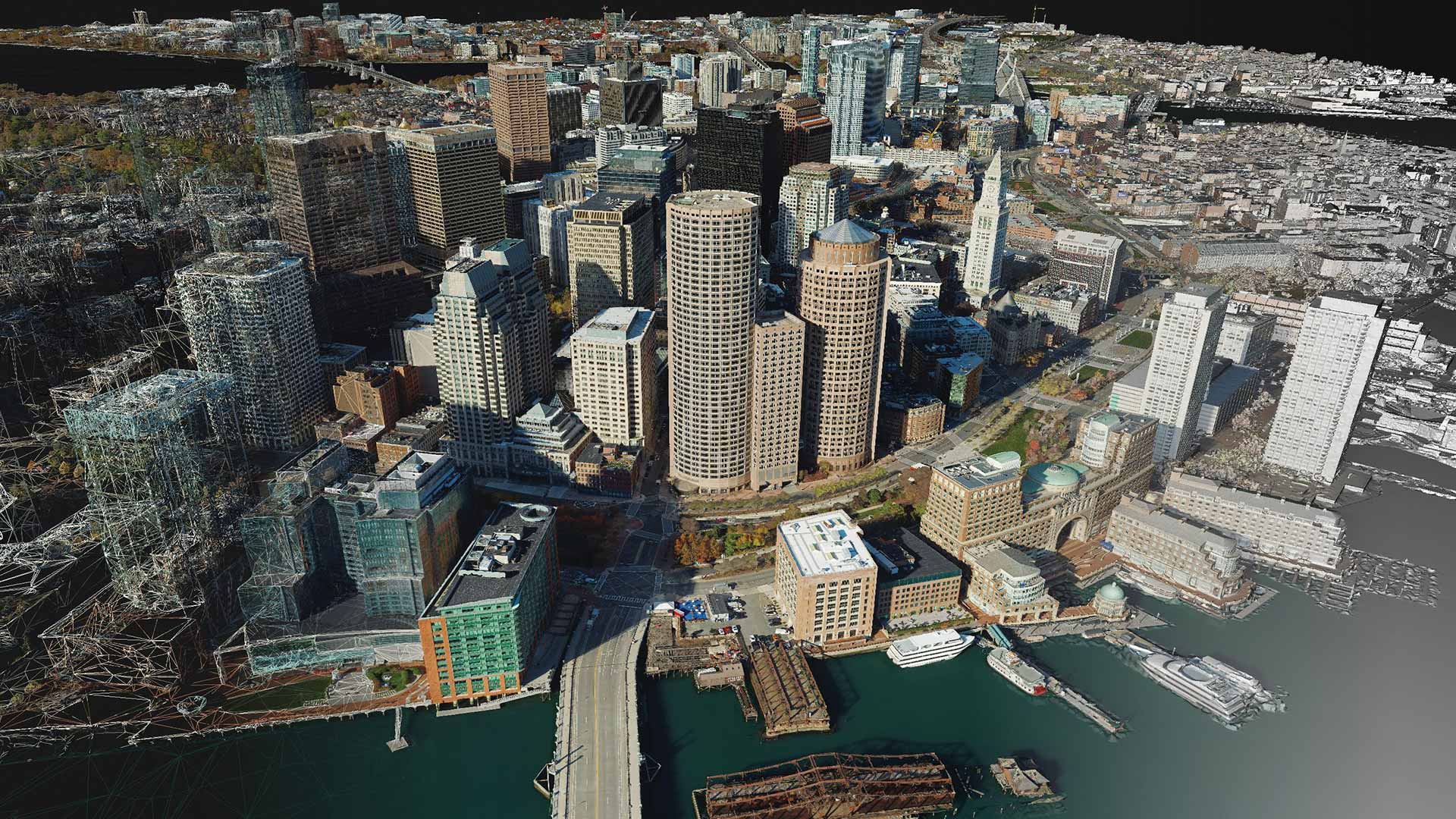
With a suite of photogrammetry software products, users can build accurate digital renderings of objects and scenes at multiple scales.
The Internet has provided a connected, digital environment that allows much of the world’s population to enjoy the benefits of exchanging a wide
The 2016 Esri Developer Summit highlighted the latest ArcGIS innovations that enable the platform to evolve at the same pace as technology.

VTCO Labs used drones and Site Scan for ArcGIS software to gather aerial imagery needed for a 3D model of a snowboarding competition venue.
Drones. Imagery. Video. Sensors. Real-time data. Focused mobile 3D applications. Big data. The cloud. The Internet of Things (IoT).

To plan, visualize, and build smart communities, local governments are tapping Esri partners around the world to help them implement...

With 3D visualization, the EPA can better understand and respond to groundwater contamination in LA County and beyond.
This multiple-threaded 64-bit application is the professional, connected desktop GIS designed to help you work...
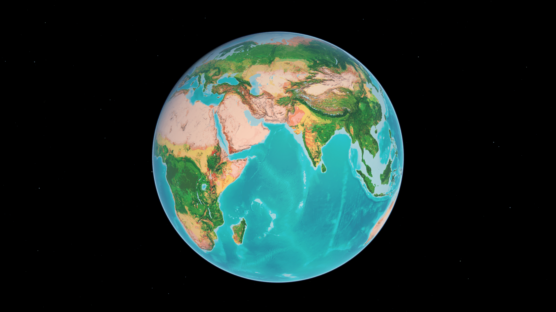
An auto-rotating globe is a fascinating way to view our planet. Make your own in a minute using ArcGIS Online and ArcGIS Living Atlas.