displaying 884 results
Texas businessman David Hicks is on the front lines of creating a smart community—using technology to improve the quality of life...

Malta’s Water Services Corporation has an enterprise-wide geospatial strategy to keep the archipelago’s water flowing smoothly.
By organizing and analyzing utility information in a GIS, you can turn a heavy load into a lighter one and work smarter.
No one cares about a neighborhood as much as the people who live in it. Our communities are where we spend our daily lives—going to work and sch…
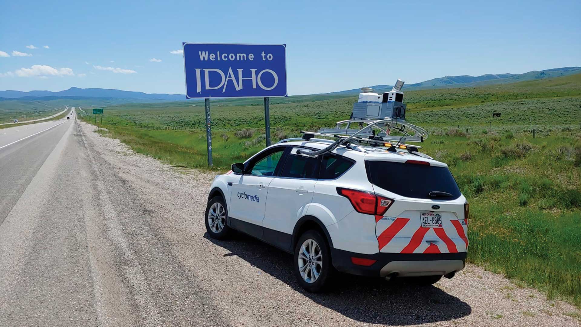
The Idaho Transportation Department (ITD) used mobile vehicle-based data collection and automated data extraction to document its highway system.
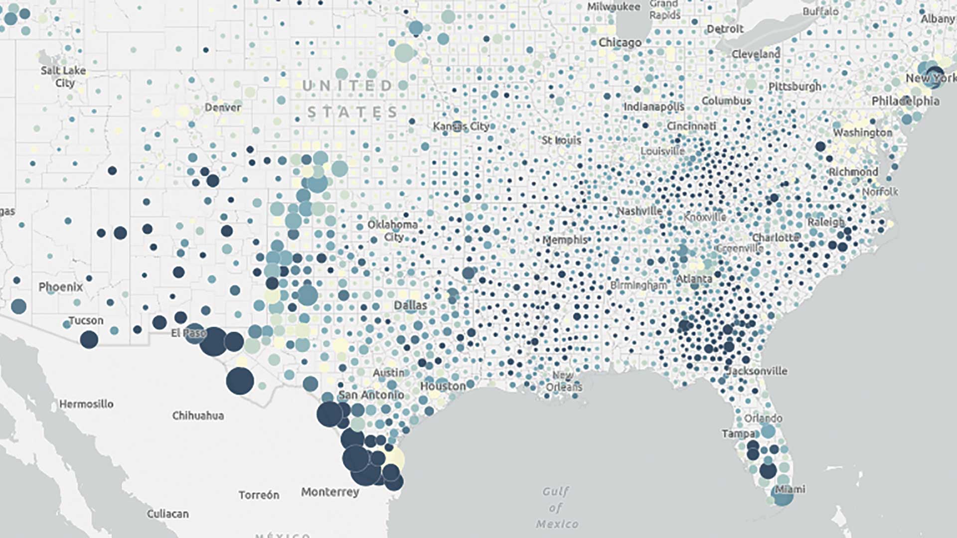
Increasingly powerful and insightful maps drive improvements in awareness, collaboration, and understanding.
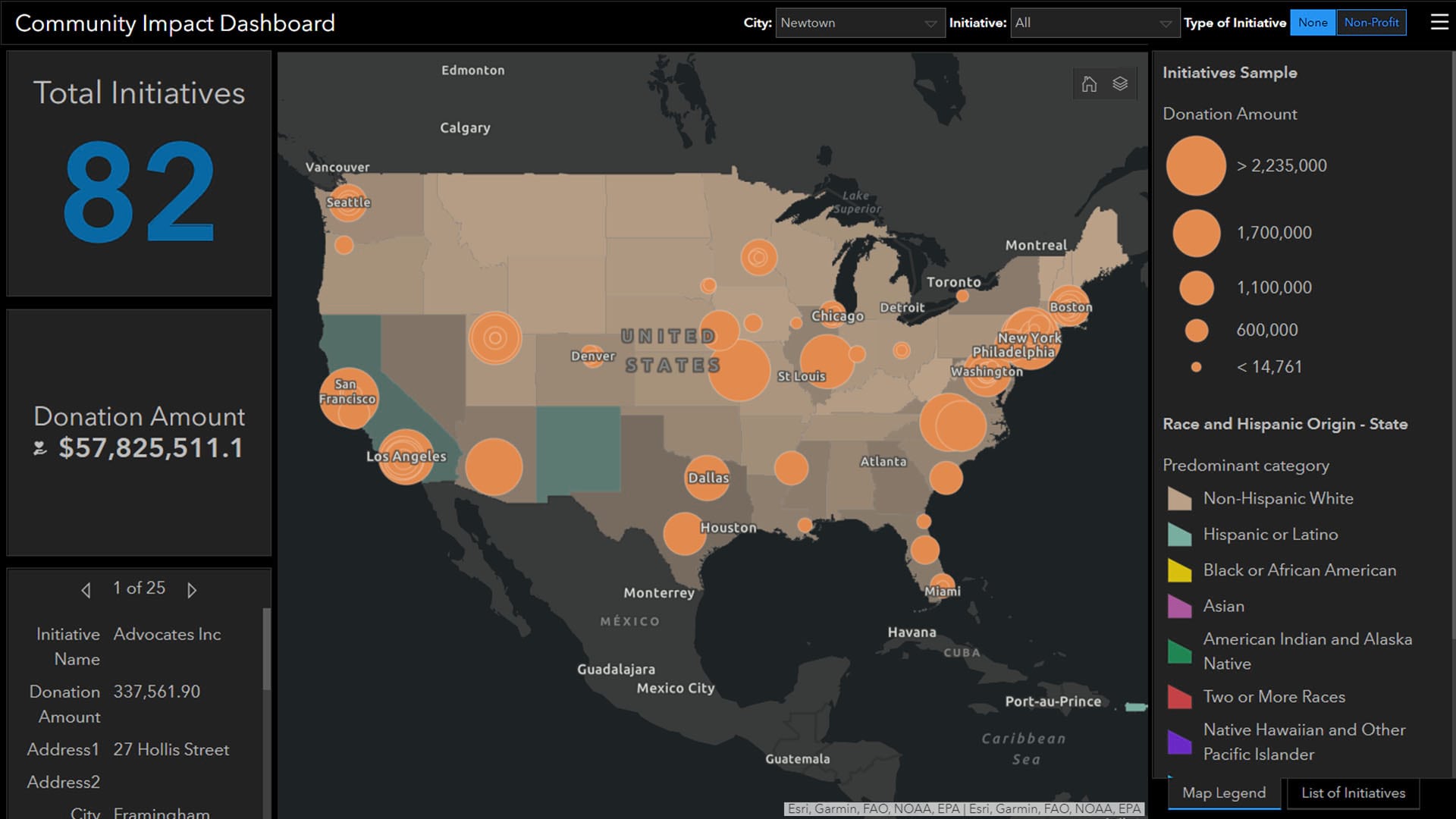
As businesses pledge to address racial injustice, location intelligence points execs toward racial equity goals in the company and the community.
Tutorials often depict the mapmaking process as a guided and regimented step-by-step process, but this isn’t what the process is like at all.
More than 200 scholars and design professionals met in the Netherlands to talk about many aspects of geodesign relevant to Europe...
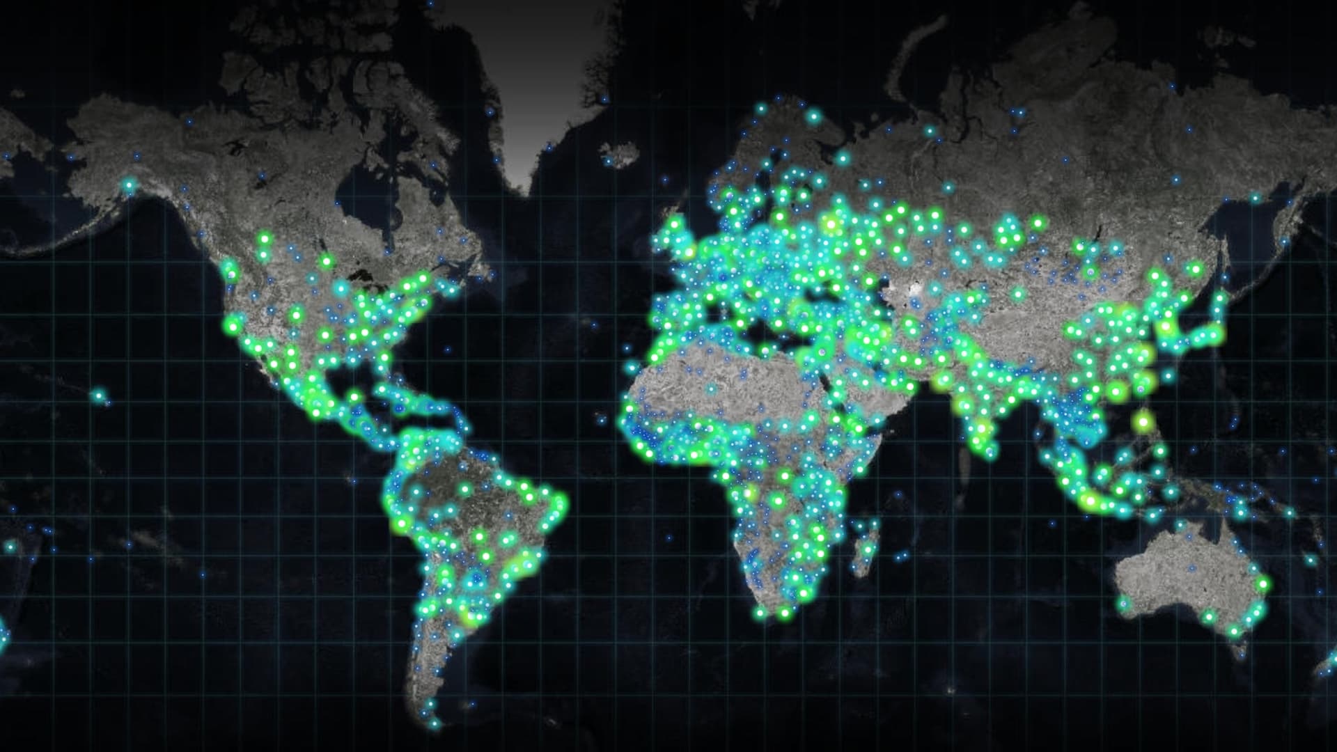
Esri president Jack Dangermond believes that GIS and geoanalytics will play a major role in applications for the Internet of Things (IoT).