displaying 1006 results
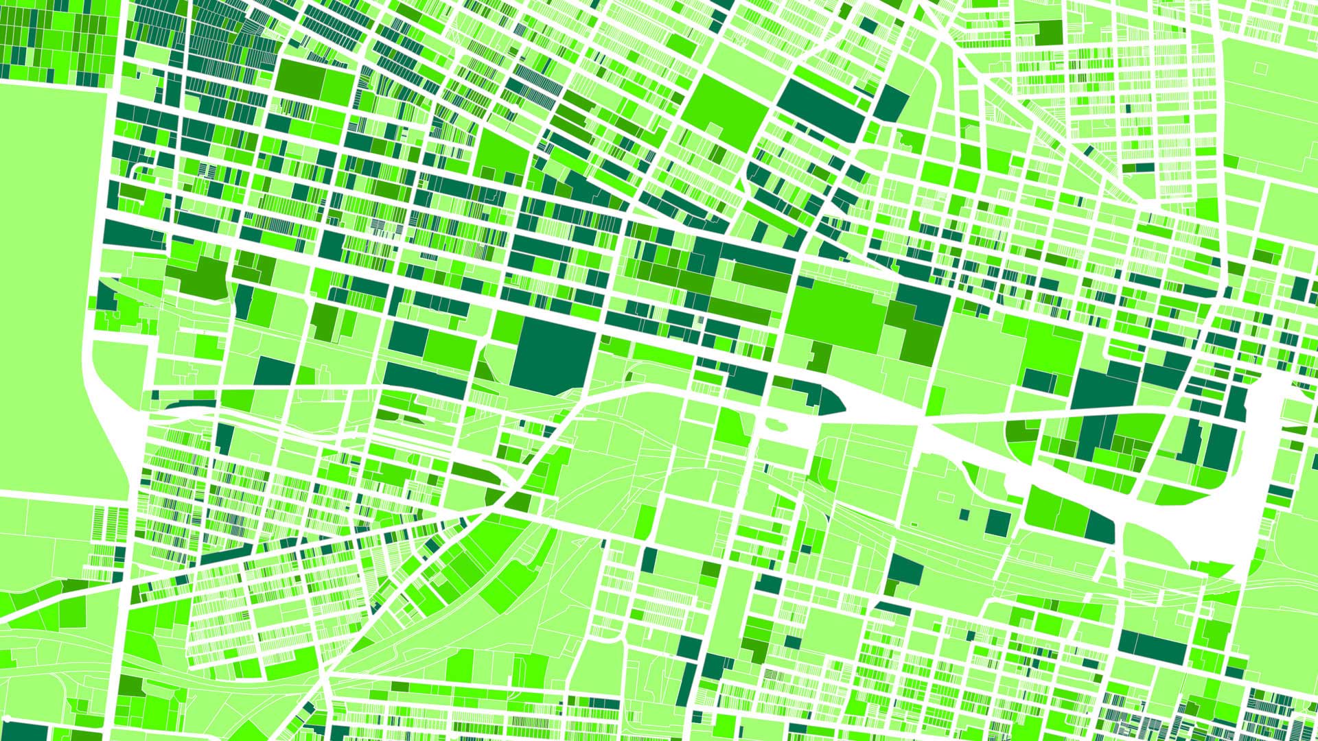
ParcelAtlas, available in ArcGIS Marketplace, is a frequently updated cloud-based cadastral content service for use with ArcGIS technology.

Every time Woodland Park Zoo changes an exhibit, infrastructure gets moved. The lead gardener decided to keep better track of that with GIS.
With Data Appliance for ArcGIS, Esri users can protect their internal proprietary data by keeping it local—on their organization’s network.

For the 2019 Rose Parade, the Pasadena Fire Department relied heavily on ArcGIS technology, including the new Tracker for ArcGIS app.
Travel to the surface of Mars and explore its features from the comfort of your computer, using d ArcGIS Online.
Esri software users from around the world send in photos documenting their travels and accomplishments while wearing Esri T-shirts.
Since its fall 2012 debut, the WWW Conference is living a virtual life via a mobile application available to attendees...

The Park Trails mobile app, developed with AppStudio for ArcGIS, helps visitors navigate trails in nine Allegheny County, Pennsylvania, parks.

Esri’s DRP has helped users respond to disasters for 25 years. Its new solution gets users to start preparing for the next incident today.

Using radio occultation, nanosatellites can collect extremely accurate atmospheric data. This is about to transform weather forecasting.

Conservation photographer Carlton Ward Jr., says geodesign and storytelling will play a critical role in conserving land for Florida wildlife.
While residents are ultimately responsible for knowing what exists around them, could cities also provide greater access to such information?