displaying 781 results

The Rights-of-Way as Habitat Working Group brings together science and industry to create maps that guide actions to improve pollinator habitat.

KeAndra Cylear Dodds from LA Metro talks about how mapping and technology are helping reduce inequality of transportation access in LA.

Nisso Moyal, director of business development at Mobileye, explains the latest advancements in the autonomous vehicle industry. Part 1 of 2.
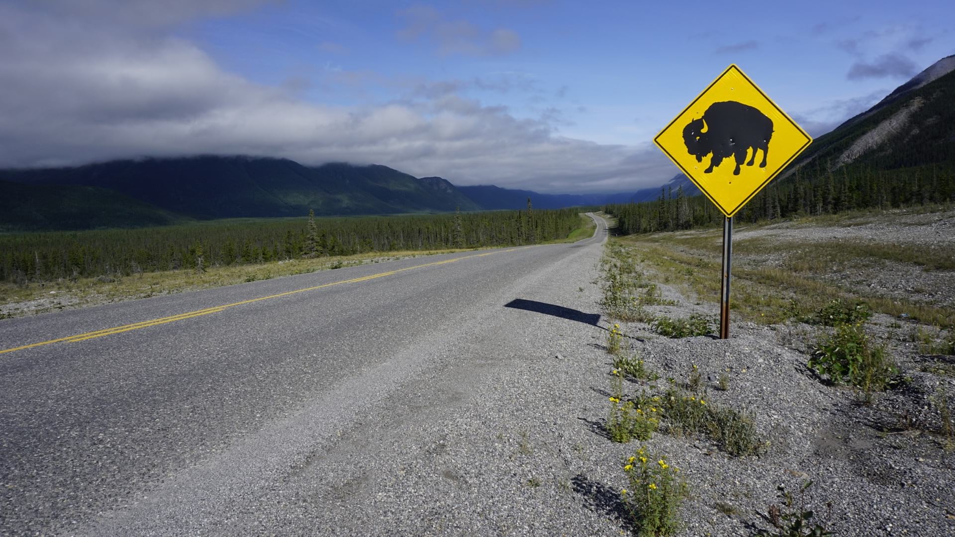
Funds for protected wildlife crossings are part of the Infrastructure Bill, and maps will guide where to place them.
The Iowa DOT transforms operations using location-as-a-service to integrate enterprise systems and provide the public with real-time information.

Transportation startups Match Rider and MetroTech leveraged the Esri Startup Program to connect travelers to one another and keep traffic moving.
Listen as Anne Shaw, Executive Director at Transport for West Midlands, discusses geospatial technology's role in public transportation.
At the Texas Department of Transportation, ArcGIS Pro and ArcGIS Open Data Pave the Way for Smooth Workflows
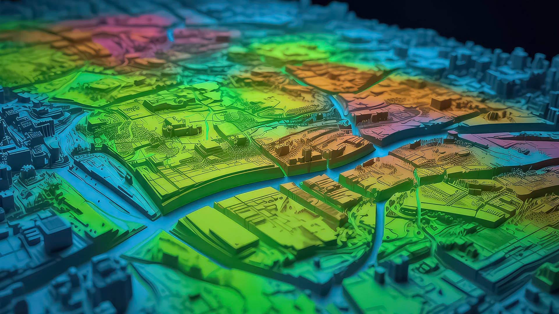
Geospatial artificial intelligence fuses AI with geospatial data, science, and technology to speed up workflows and solve spatial problems.

Durham-Chapel Hill-Carrboro Metropolitan Planning Organization used Esri software and Microsoft Azure to recover from a cyberattack.

Buffalo, New York, gets snow—and lots of it. Last winter, a number of surrounding areas—including parts of Erie, Niagara, Chautauqua.
By analyzing network-data-based routes where people can actually walk, Denver's Community Planning and Development Department GIS staff provided…