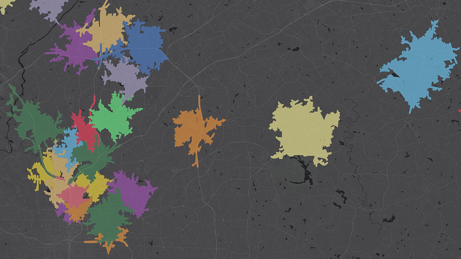
displaying 4366 results
ArcGIS Map Search, a new capability in ArcGIS Maps for SharePoint, makes it easier to map and search SharePoint content.
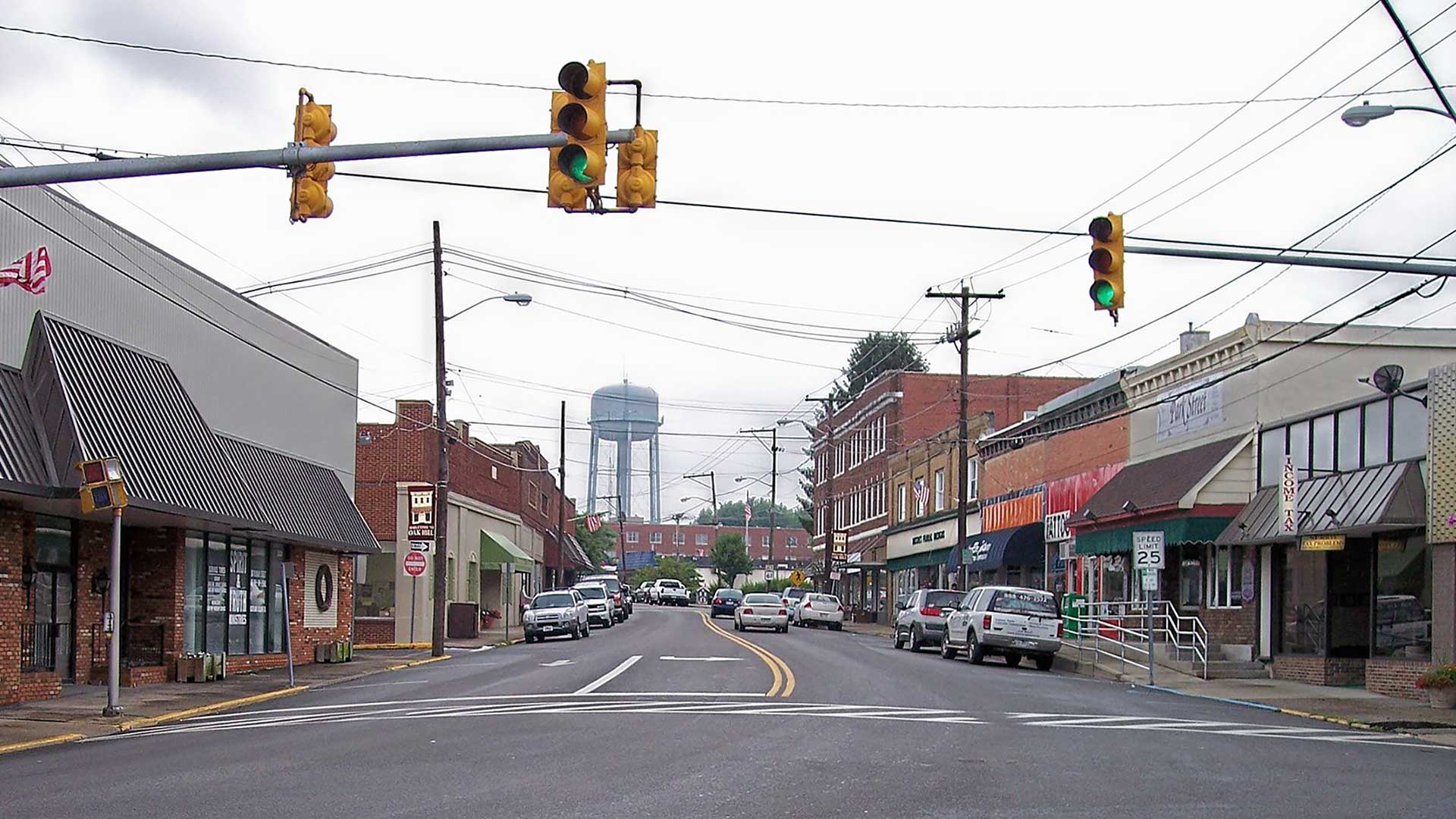
Oak Hill, West Virginia, uses an Esri Story Maps app to present the city council agenda in context.
With ArcGIS Maps for Adobe Creative Cloud, GIS users and creative professionals can make stunning data-focused maps right in Adobe programs.
ArcGIS Open Data functionality, previously in beta, was officially released and localized in 24 languages. With the Open Data feature in ArcGIS…
Geoinformation disciplines don’t receive the acceptance, understanding, and acknowledgment…

Esri technology evangelist Bern Szukalski shows you how to sync 2D and 3D maps in ArcGIS Experience Builder using triggers and actions.
Meet the 2018 Esri Storytelling with Maps Contest winners, who used the apps to tell stories about a Rohingya refugee encampment...
Irish students learn geospatial thinking skills by working with Scoilnet Maps, served using Esri technology.
Geography is so much a part of the day-to-day life of cartographer Shane C. Matthews that he’s already teaching his two-year-old son, Miller.

Not many schools provide campus maps to local public safety organizations. Denco 9-1-1 and Esri partner GeoComm are changing that with GIS.

When new data becomes available, Ordnance Survey Ireland can automatically refresh its map products and services with minimal human intervention.
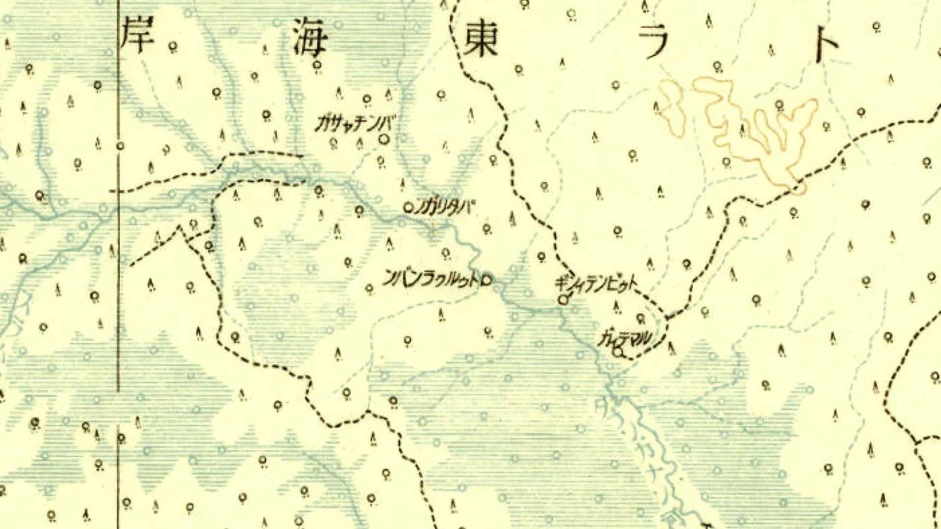
A web application developed by a Japanese university makes a priceless collection of historical maps available to the public.