displaying 993 results
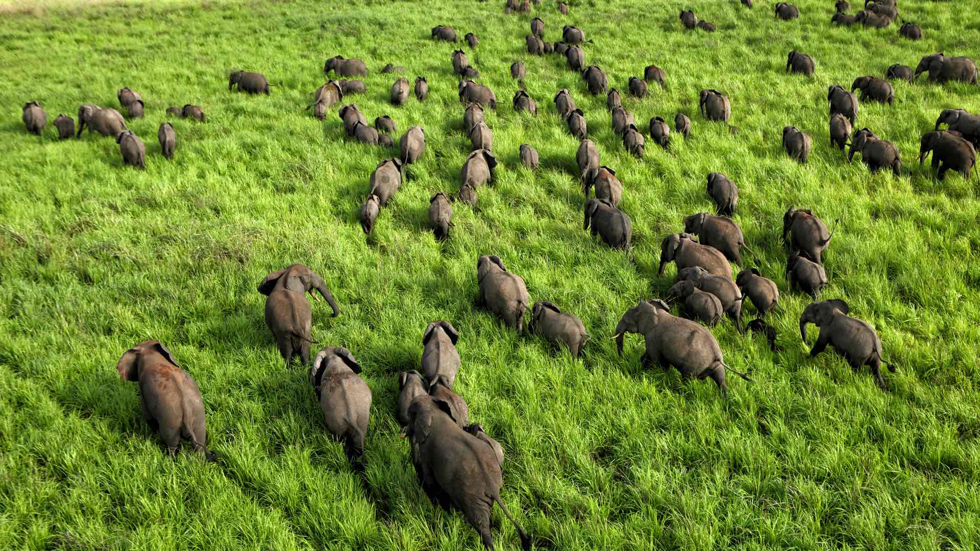
Naftali Honig from African Parks talks about the use of location technology in saving Africa's iconic species.

Mattias Wallin, geospatial data scientist at John Deere, discusses the value of data science in solving business problems.

Erwin Rademaker from Port of Rotterdam Authority explains the importance of location technology in PRA's digital transformation.

Tom Fisher, author of Designing Our Way to a Better World, explains how data and visualization empower solution design.

Felix Finkbeiner, founder of Plant for the Planet, mobilizes a global movement to slow climate change with a trillion trees.

Dr. Thomas Crowther from The Crowther Lab talks about how business and government are using technology to address climate change.
Geoffrey West, theoretical physicist and author of the book "Scale," discusses research that tells us how businesses and cities flourish.
Check out this dashboard tracking the adoption of electric vehicles in the U.S. from 2016 to 2022.
Opening on May 1, Esri’s no-cost course explores how GIS is being used to understand and prepare for a more resilient future.
The StoryMaps team and George McLeod discuss how he uses GIS to plan for and communicate the effects of sea level rise and tidal flooding.
Steve Boyes, founder of the National Geographic Okavango Wilderness Project, discusses the effort to preserve Botswana's Okavango Basin.
In collaboration with NOAA, the Presence-Only Prediction tool in ArcGIS Pro predicted snow crab habitat under changing climate conditions.