For Michelle Riter, Arizona was supposed to be in the rearview mirror.
Not long after her family moved to the Grand Canyon State in her youth, she began looking for a way out of the desert. She found her escape in the Air Force, enlisting three days after high school graduation. The military, she says, offered a chance to “go everywhere, meet everyone, touch everything.”
Riter became an analyst in the Air Force’s Intelligence, Surveillance, and Reconnaissance (ISR) unit. Her job: Analyze intelligence from airborne systems so commanders had real-time situational awareness. She worked in every time zone and spent seven years on the night shift, studying overseas drone feeds.
As she rose through the ranks to become a senior enlisted leader, she relied on mapping and analytics software known as geographic information system (GIS) technology.
With GIS maps, she quickly brought military leaders up to speed, tailored data analysis to decision-makers, and provided context when uncertainty was high. “Almost every operational decision is based off a geographic component of some sort,” she says.
After 20 years in the Air Force, Riter made a transition that many in intelligence and law enforcement have in recent years, taking a role in corporate security operations. The job: global head of Threat Evaluation and Risk Assessment (TERA) for Amazon, America’s largest company by revenue. The place: Arizona.
Anticipating Risks Through Security Operations
A common goal united Riter’s operations security work in the Air Force and at Amazon: Identify and mitigate risks as they emerge—before people, operations, or assets are negatively impacted. In military and security circles, this is known as being “left of boom.”
Riter saw that GIS could help operational leaders anticipate risks with the potential to impact Amazon’s sprawling logistics network. So she oversaw development of the geospatial platform that keeps Amazon’s supply chain and workforce one step ahead of operational risks.
Just down the hall from Riter’s Arizona office, GIS maps light up the walls of Amazon’s GSOC, or global security operations center. They show hundreds of operations facilities and the transportation network connecting them. This is the infrastructure behind Amazon’s fast deliveries in dozens of countries.
Security analysts in the GSOC examine data such as adverse weather conditions, infrastructure disruptions, and other environmental factors to detect and assess potential risks to their operations network around the globe.
Many of the world’s best-known companies use GIS in their security operations centers for the same reason: With smart maps, executives can quickly grasp a situation and make informed decisions.
“Location is one of the most powerful tools available when you’re understanding risk,” Riter says.
At Amazon, GIS helps protect the safety of over 1.5 million workers while preserving seamless customer experiences.
“It’s a must-have,” says Ryan Nelson, head of Amazon’s People Risk department and a transplant from law enforcement to the corporate world. “It’s one of those things we absolutely cannot operate without.”

GIS visuals are critical to allowing leadership to draw immediate conclusions.
Safeguarding Employee and Customer Experiences: Geography’s Role
Of the many potential risks that Amazon’s operations security team monitors 24/7, adverse weather might pose the most pernicious impacts to the supply chain.
Hurricanes, cyclones, floods, and snowstorms can affect many aspects of operations, including customer satisfaction, the bottom line, and employee safety.
“When we make a decision that it is not safe to operate in these sites or it is not safe to operate on these delivery paths, that impacts people’s day-to-day,” Riter says. “It’s a heavy responsibility, and it’s why we invest in getting it right.”
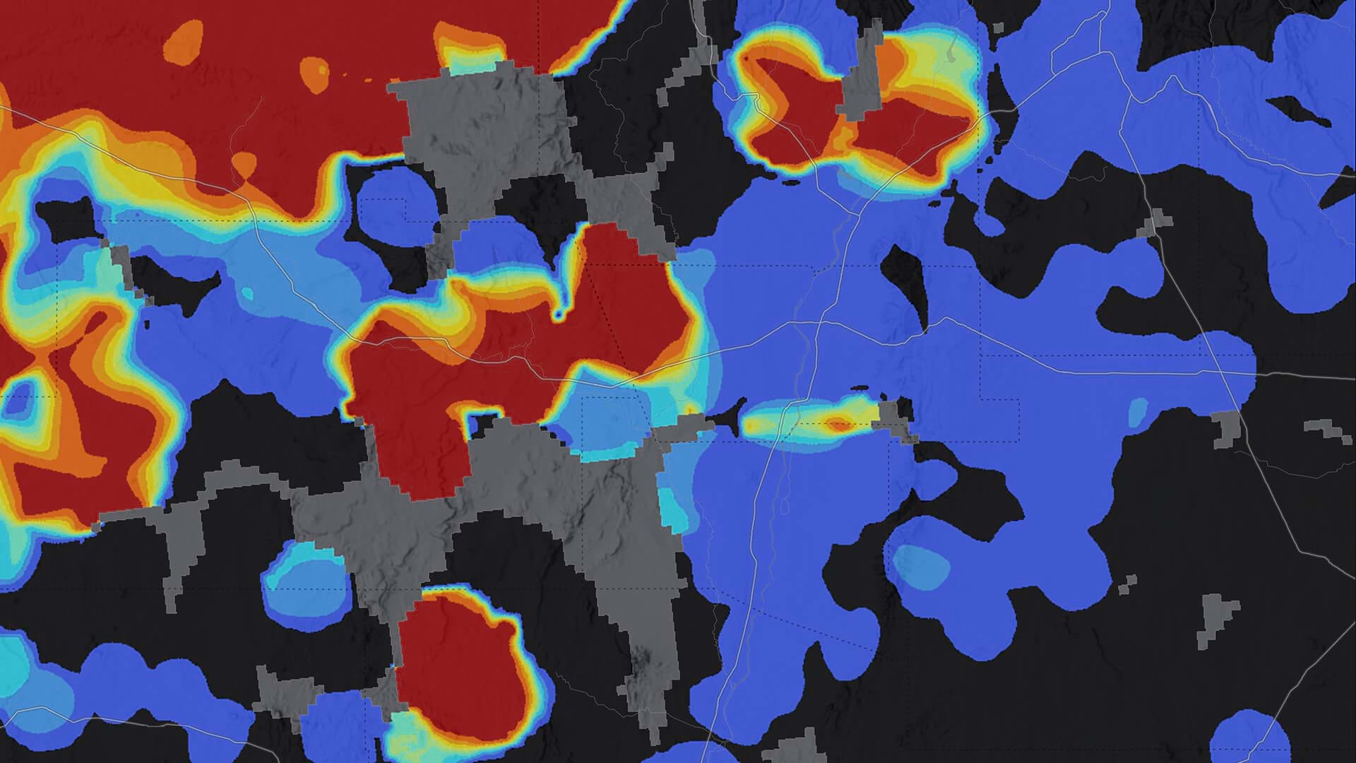
So she set out to make Amazon’s already rigorous risk assessments even more precise, especially during peak seasons like holiday shopping. She and the TERA team used GIS to build a winter risk assessment tool tuned to the unique realities of neighborhoods across the US. Six inches of snowfall in Bozeman, Montana, calls for a different response than six inches in Atlanta, Georgia.
With geographic precision on weather impacts, Amazon can safeguard employees and assets, maintain operational continuity, and keep its customer delivery promises. The ability to see around corners keeps the entire network resilient.
“When you can display on a map exactly the line of where the probability of storm-force winds [is] and then show why that’s the threshold at Amazon . . . it allows people to say, ‘I’m outside of that line and I know why. I’m inside that line and I know why,’” says Josh Popp, a risk manager and the technical architect behind the GIS platform.
If forecasts call for 15 inches of snow in an area where six inches is the threshold, Amazon’s planners may shift operations by rerouting drivers in advance.
“We can then ensure that we’re meeting that customer promise even before it’s snowing,” Riter says. “There’s no way that without GIS infrastructure you’re really able to do that.”
When they identify a storm or other community disruption, analysts use GIS to define the precise operational boundary of the impacted area and monitor logistics routing to maintain delivery commitments during severe weather events—a critical capability powered by geography.
“We can simulate through GIS where the path of the storm could develop and what that might do to our supply chain,” Popp says.

That common operating picture really allows leaders to understand visually and help shift the conversation from what’s happening to what should we do about it.
Predicting Risks to Operations and Capital Investments
As Riter adjusted to the fast pace of Amazon’s Arizona operation, she found that the culture—which rewards self-starters and independent thinking—suited her well.
“If I were to describe her, I’d say she’s a builder,” Nelson says. “At our level, we’re responsible to own it globally. No one’s going to tell you what to do.”
Riter and the TERA team are focused on enhancing Amazon’s ability to see around corners by merging internal operations data with external geographic data to predict location-specific risks.
Nelson, for instance, works with the TERA team to translate geographic intelligence into action—using location-based insights to proactively strengthen operational readiness across the network.
Predictive analytics can even flag emerging risks before they reach Amazon’s supply chain. Analysts are using GIS to map correlations in geographic and environmental data to anticipate events and enable proactive operational adjustments.
Riter’s predictive work extends to site selection too. When Amazon considers building a facility in a new market, the TERA team models the operating environment based on indicators from markets it already knows.
“One of the things that the GIS enablement really helps with is we have been able to build risk profiles that inform what a new environment needs before we’re operational there, and keep employees and the community safe,” Riter explains.
With location intelligence, Popp adds, “the confidence in decision-making just goes up exponentially.”
Her information is what helps define what risk looks like and how do we get ahead of it.
“Security Is Never Solved”
Today, Riter has discovered a newfound peace in Arizona. Her life looks much different than it did when she fled the desert at 18, but some things have remained consistent. Across military and corporate leadership roles, she’s paired an innate curiosity with an urge to protect people and guard the livelihoods of colleagues.
At nearly every stage of her career, GIS has helped her stay ahead of threats to safety and operations.
While Riter knows that “security is never solved,” she savors the challenge of harnessing location intelligence to analyze incoming risks.
“There is an excitement of being able to know you are the one enabling those outcomes,” she says. “You are the one who is helping make people safer.”
The Esri Brief
Trending insights from WhereNext and other leading publicationsTrending articles
December 5, 2024 |

January 11, 2024 |
May 26, 2026 |
September 22, 2026 |

October 6, 2026 |

April 7, 2026 |