For a COO, it’s a nightmare scenario: On the verge of closing a major real estate acquisition, an unforeseen security risk surfaces. Underwriters get cold feet and walk away from the deal.
Today, the risk isn’t limited to new acquisitions. Geopolitical volatility is exposing physical threats in portfolios businesses already own.
To protect capital and catch threats earlier, Fortune 500 firms are using AI-enabled geospatial technology to speed up security risk assessments for real estate.
How Do GIS and AI Facilitate Security Risk Assessments?
The video below demonstrates how a business can use AI-enabled location software to generate a profile of a property’s risks in minutes:
On a dashboard powered by geographic information system (GIS) technology, an analyst can examine risk through several lenses, including imagery analysis.
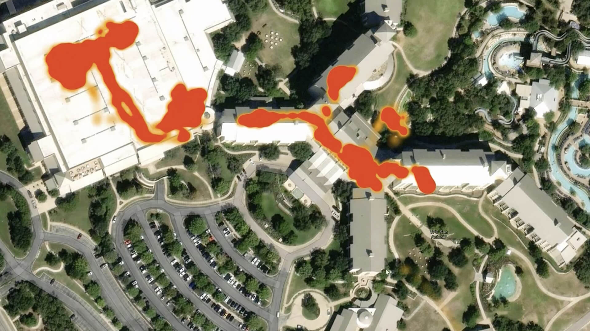
When the analyst enters a simple prompt, an AI agent zooms in on a property address and analyzes satellite imagery for risks such as a structurally unsound roof, wildfire threats from nearby woodlands, or limited access for emergency vehicles. It then summarizes these findings in a report within the dashboard.
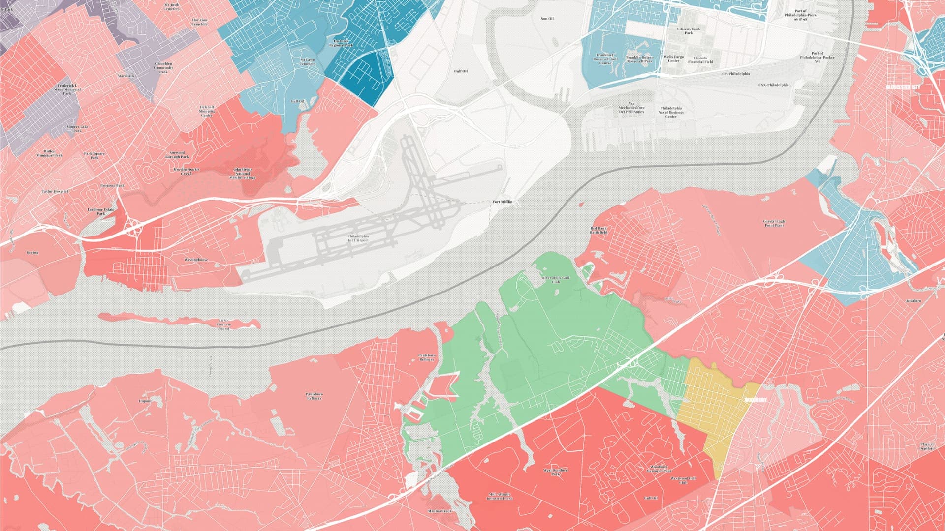
A security operations or real estate team can deepen the analysis with metrics on crime—a perennial concern for companies, with organized theft costing businesses and consumers billions of dollars a year. Using an AI interface, an analyst can harness GIS technology to comb through crime statistics on a parcel of interest and compare them against ZIP code and county averages.
A security risk assessment that combines imagery analysis and crime data helps a business make smarter decisions about greenlighting a potential acquisition or fortifying existing assets.
In an area with above-average robbery rates, for instance, a retailer evaluating a potential lease might negotiate security upgrades from the landlord. In an industrial area where crime rates are rising, a manufacturer might implement stronger access controls and update camera systems around its factory.
Finding Hazards Before They Find You
AI-enhanced technology can help a business weigh a property’s risks for events like tornados, earthquakes, strong winds, ice storms, and heat waves.
Using conversational language, a risk analyst can ask to see the top environmental hazards for a specific property, drawn from FEMA data. Certain high-level risks may be enough to disqualify an otherwise promising site.
Data centers, for instance, are especially vulnerable to earthquakes, which can disrupt the functioning of sensitive equipment. With one insurance firm calculating that $800 billion in data center investments is concentrated in states at high risk for hurricanes, storms, and earthquakes, executives need reliable security risk assessments to plan new developments and strengthen resilience on existing sites.
Getting the Right Answers on Risk Faster
For businesses assessing the value of a property, factors like labor availability, tax incentives, purchase cost, and proximity to customers have traditionally come first, with security concerns factored in at a later stage.
But today’s executives know security can’t be an afterthought when evaluating a potential acquisition or an existing asset. It also can’t delay decisions when a business needs answers quickly. The latest AI-powered tools make this analysis faster without sacrificing reliability.
As the volume and complexity of risks grow, AI and geospatial technology are enabling businesses to detect property hazards before they surface on the bottom line.
The Esri Brief
Trending insights from WhereNext and other leading publicationsTrending articles
December 5, 2024 |

January 11, 2024 |
May 26, 2026 |
September 22, 2026 |

September 15, 2026 |

June 5, 2025 |