It’s the fall of 2026, and the global security team of a Fortune 200 company has a problem it can no longer overlook: Its global security operations center (GSOC) isn’t identifying and responding to business risks as fast as executives would like.
Analysts lose time flipping between screens and reports, trying to gauge whether severe weather, access breaches, political unrest, or transportation strikes will impact the company’s operations. They’re missing alerts as they try to sift real threats from noise, and some are burning out.
The security team meets with management and proposes a fix: To protect operations, the GSOC needs an intuitive technology that gives business leaders quick, data-rich context.
The global VP of security hears them out, then offers a challenge:
Let’s go back to Hurricane Ian. We all know it was one of the costliest storms in decades, and it battered our operations in the South. How would the system you want to install have protected us better?
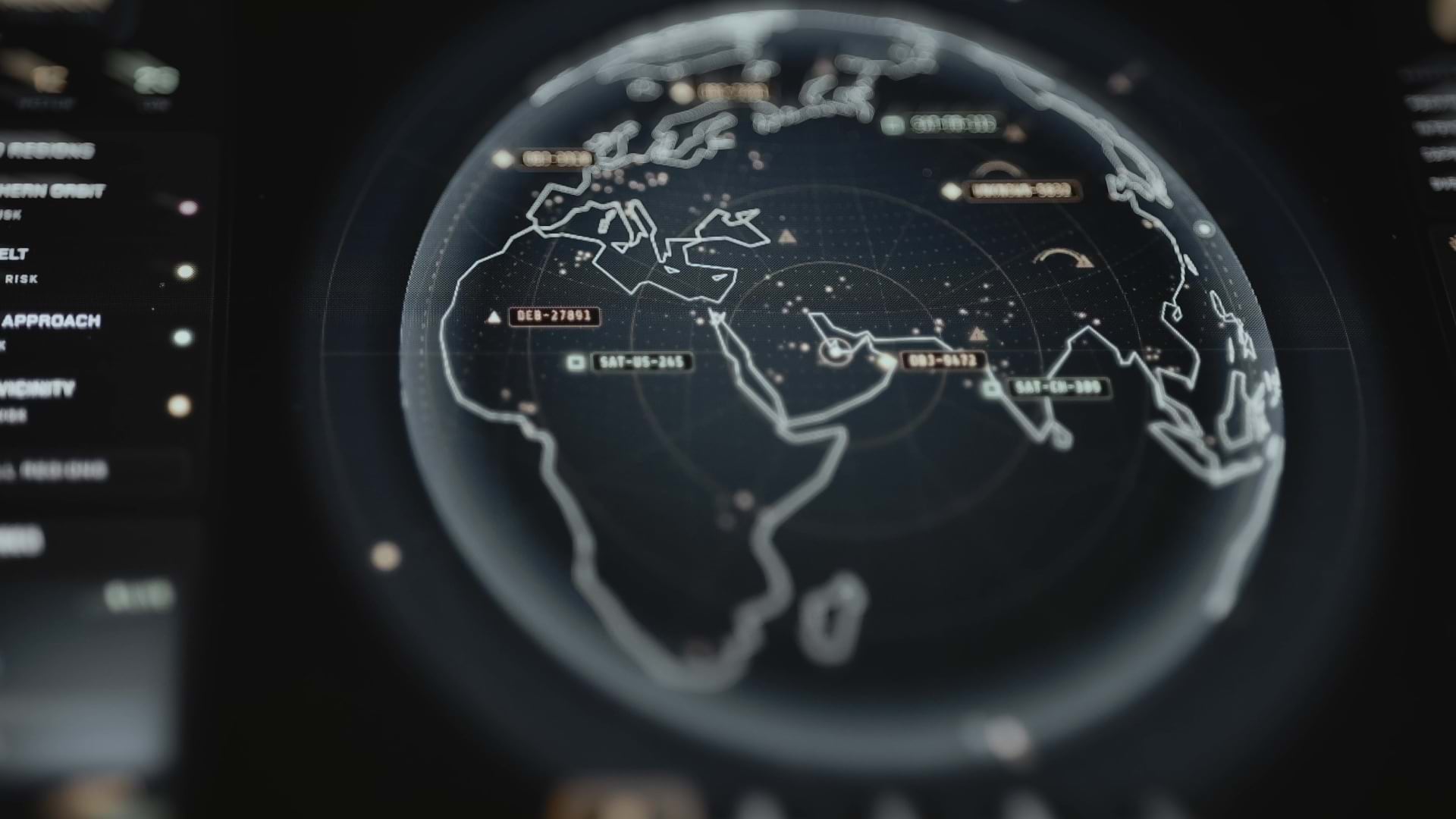
The team opens the sandbox and shows the VP a demo of geospatial technology, powered by AI:
Security Decisions, AI Queries, and Intelligence in Seconds
Manufacturers, retailers, utility companies, tech firms, insurers, and others are using AI-enabled location software to shrink the time needed to understand and act on operational threats.
For those companies, an encroaching Category 5 hurricane provokes urgent questions: How exposed are our employees? What’s the potential revenue loss? Which assets are inside the impact zone, and what should we do to get ready?
Back in the VP’s office, the operations security team demonstrates how an AI interface unlocks the analytics engine inside geographic information system (GIS) software, delivering insights leaders need.
Had those capabilities been available in 2022, the GSOC team would have seen not only the predicted path of Hurricane Ian but every company asset within it.
In response to a simple prompt, the AI engine generates a basemap showing the value of threatened assets—a map that can be shared with an executive with a click, or projected on a GSOC wall.
A Decision-Support Tool That Enables Rapid Response
In the past, combining mission-critical information in one operational view required manual coordination between teams and systems. Now, a security leader might use AI prompts in GIS to locate areas in a storm’s path that have historically experienced floods. GSOC officials could then notify managers in those areas to take steps to prepare, like deploying sandbags or storing paper records in waterproof bags.
A map showing stores, depots, or corporate offices with high employee headcounts could help security leaders decide which facilities to close first. By identifying locations outside the storm’s path, the company can advise customers on where they can handle any urgent business needs. In the past, these information requests might have required a fact-finding mission across several systems and departments. Now, AI and GIS generate the insight instantly.
It all adds up to a compelling case for a GSOC upgrade—and underscores how AI-enabled tech is helping businesses accelerate security decisions.
The Esri Brief
Trending insights from WhereNext and other leading publicationsTrending articles
December 5, 2024 |

January 11, 2024 |
September 22, 2026 |
May 26, 2026 |

June 5, 2025 |

April 7, 2026 |