displaying 1267 results
Explore how ArcGIS technology empowers companies to grasp and navigate the impacts of rural broadband deployment.

With 3D visualization, the EPA can better understand and respond to groundwater contamination in LA County and beyond.

Scot McQueen from World Forest ID explains how technology is enabling new ways to ensure forest health and meet market demand.
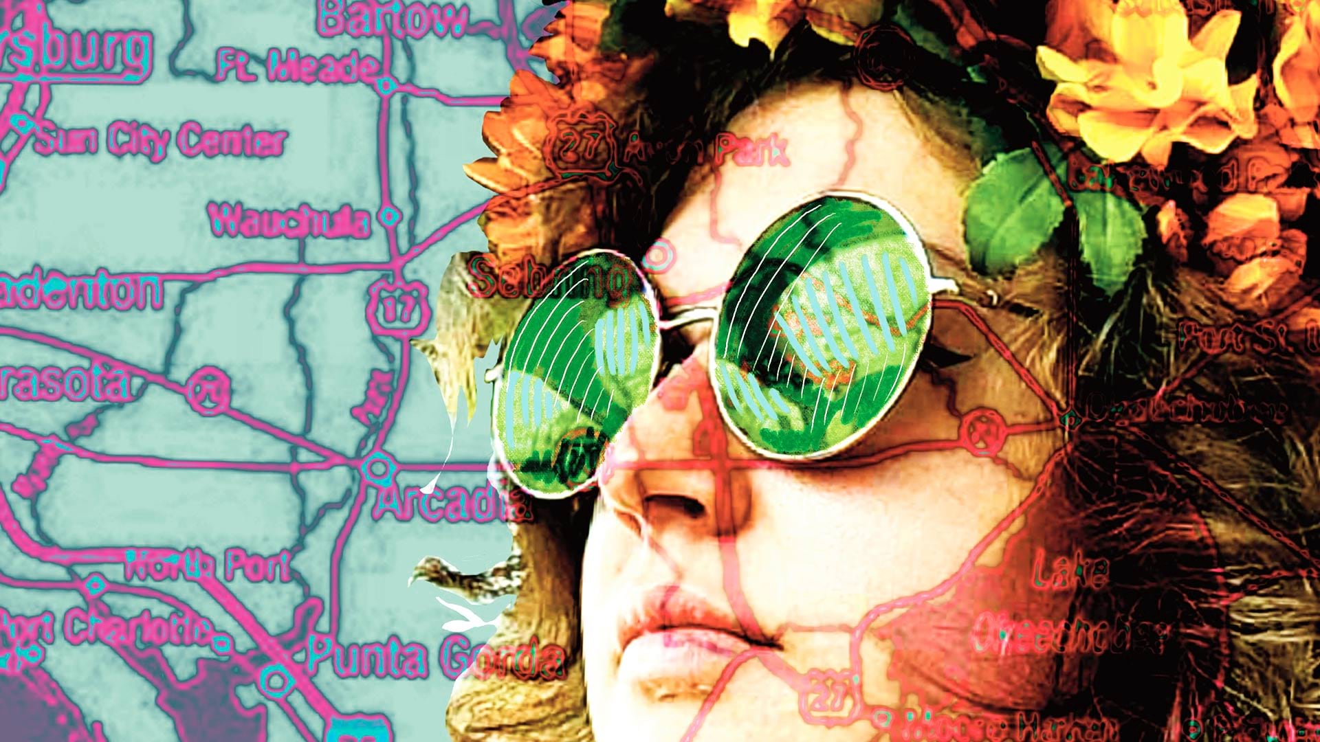
A Florida University combined geography and art in an innovative new class.

Want to learn how to Get Started with ArcGIS Arcade or create Python Scripts for ArcGIS? Check out the new Esri Academy courses.

A GIS-powered America’s Commerce Corps program called Community Connection helps consumers and communities engage with local businesses.
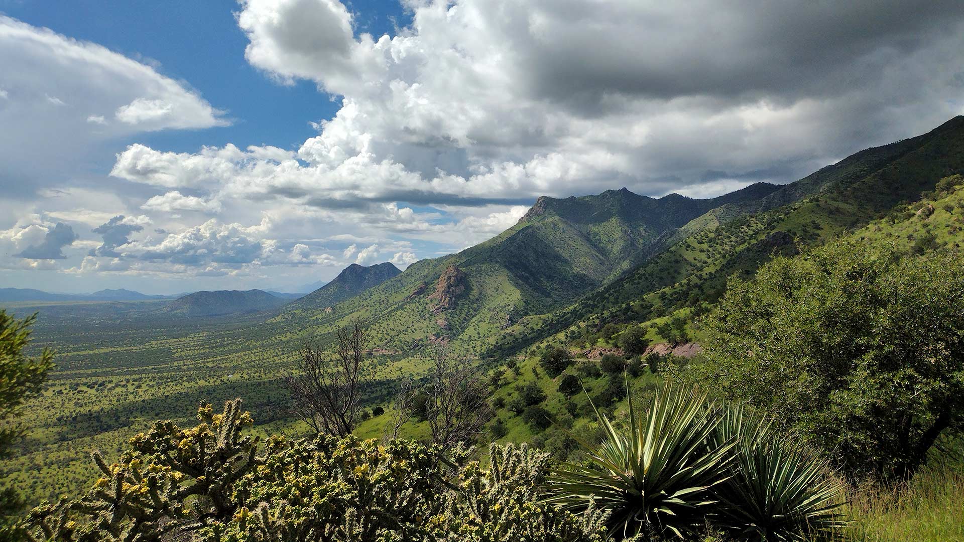
ArcGIS Image for ArcGIS Online helps scientists track land subsidence in Arizona’s Willcox Groundwater Basin.

New books from Esri Press cover geospatial technology in the field, GIS and wildland fire, and GIS for geospatial collaboration.

Somerset County in New Jersey has created a GIS-based website that provides details on affordable housing options and more.

ArcGIS products such as ArcGIS Online and ArcGIS Enterprise provide a way to comply with the European Union’s Open Data Directive.

The City of Rochester Hills, Michigan, uses ArcGIS Survey123 to track community education and safety device installation.

With GIS, the University of Minnesota is helping Minnesota counties follow the United Nations' 17 Sustainable Development Goals.