displaying 27 results
The Autodesk product suite will provide rich, authoritative geospatial reference data from the leading collection of geographic information.

A team at the University of Vermont’s Spatial Analysis Laboratory employed GIS tools and drones for flooding disaster response in July 2023.

Esri’s integrating 140 spatial analytics tools and functions into Microsoft Fabric, National Geographic launched the new Mapmaker, and more.

The City of Philadelphia has created a map that is highly accessible, informs city spending, and empowers people with disabilities.

To quantify its extensive population and determine where they live, Nigeria is going digital with GIS in its new census.

Built on a large language model, the chatbot works like a fast search engine, giving users answers to questions about ArcGIS technology.

Released in beta in November 2023, ArcGIS Knowledge helps organizations connect, analyze, and visualize large amounts of data.

Launched in November 2023, ArcGIS Enterprise 11.2 includes a variety of new and improved analysis and data management tools.
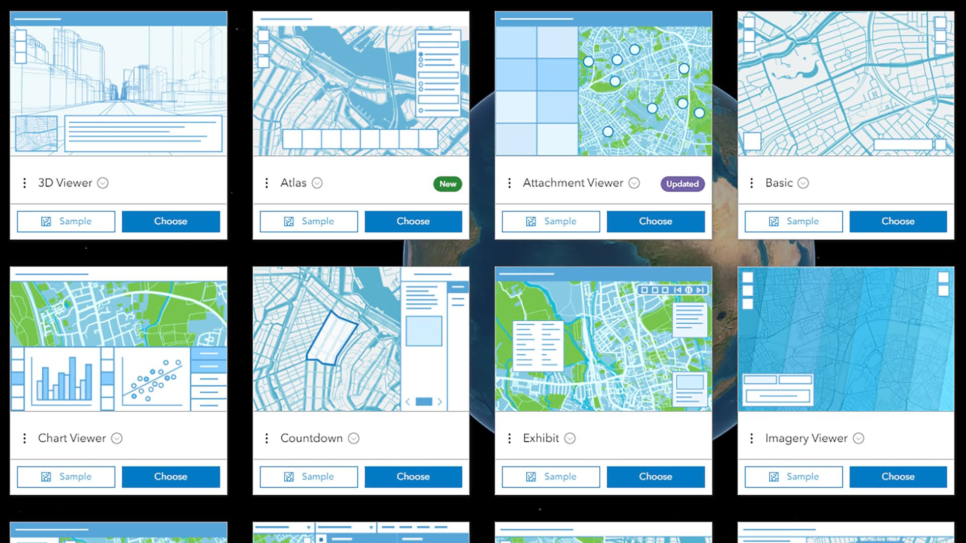
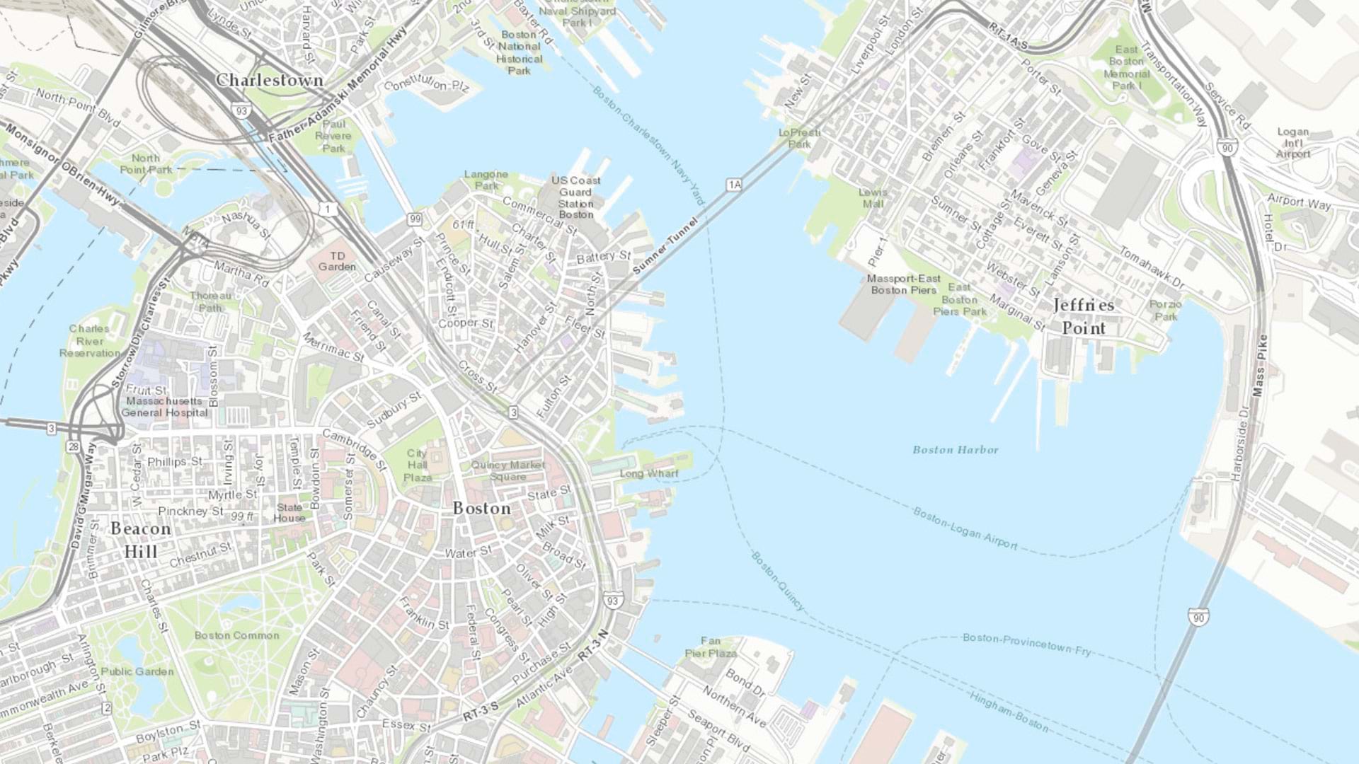
Using Atlas, GIS analysts can create lightweight, interactive web apps around collections of carefully curated geospatial content.

ArcGIS Maritime now integrates with ArcGIS Field Maps, taking Electronic Navigation Chart production out of the office and onto the water.

Sightsavers, an Esri Nonprofit Program participant, is using GIS to fight infection-based vision loss.

Argentina uses geospatial tools to help the city of Córdoba improve efficiency, become more inclusive, and promote sustainability.