October 7, 2026 |
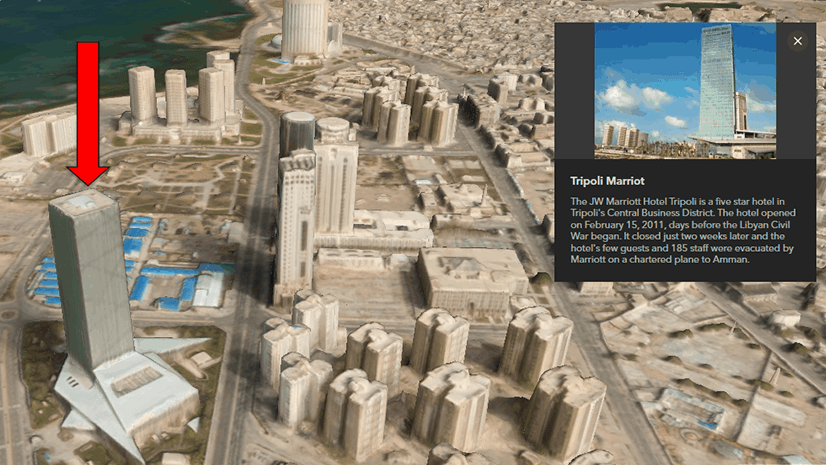
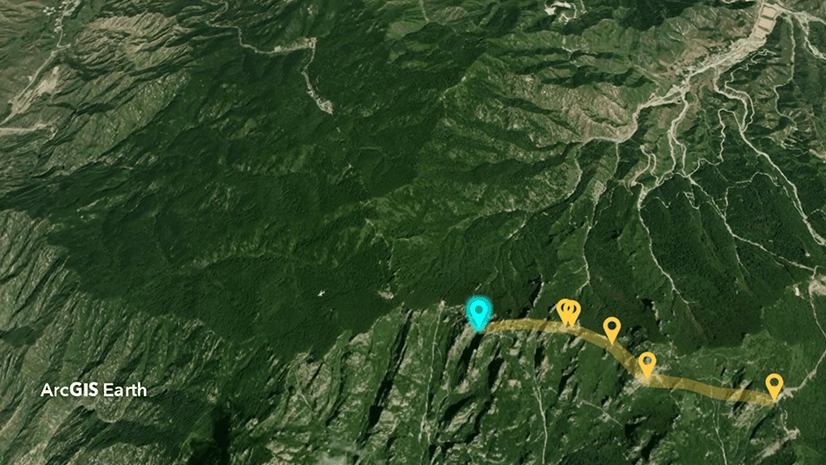
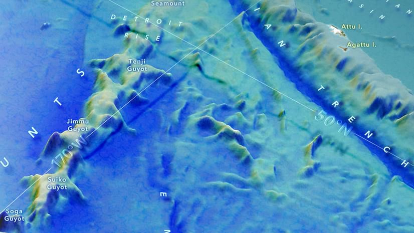
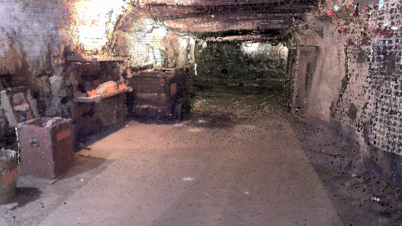
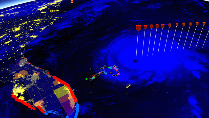
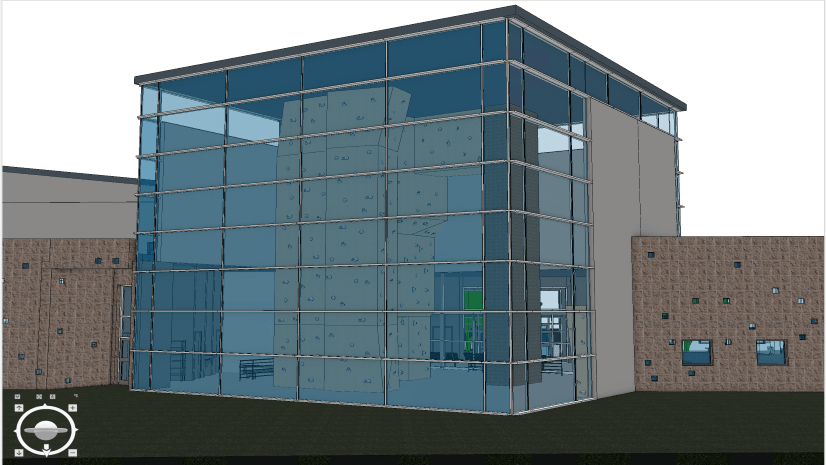
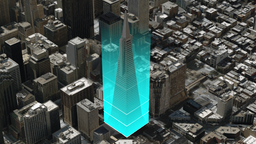
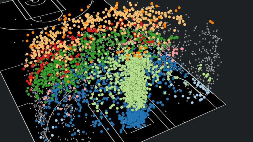
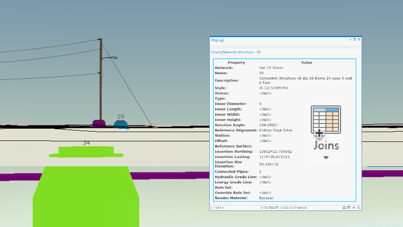
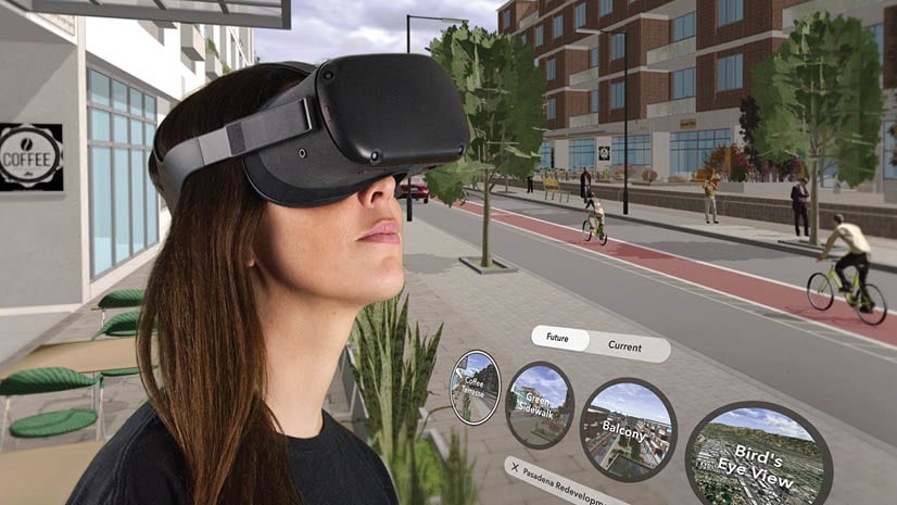
Build immersive 3D and XR experiences with real-world geospatial data using ArcGIS Maps SDKs for Game Engines for Unity and Unreal Engine.