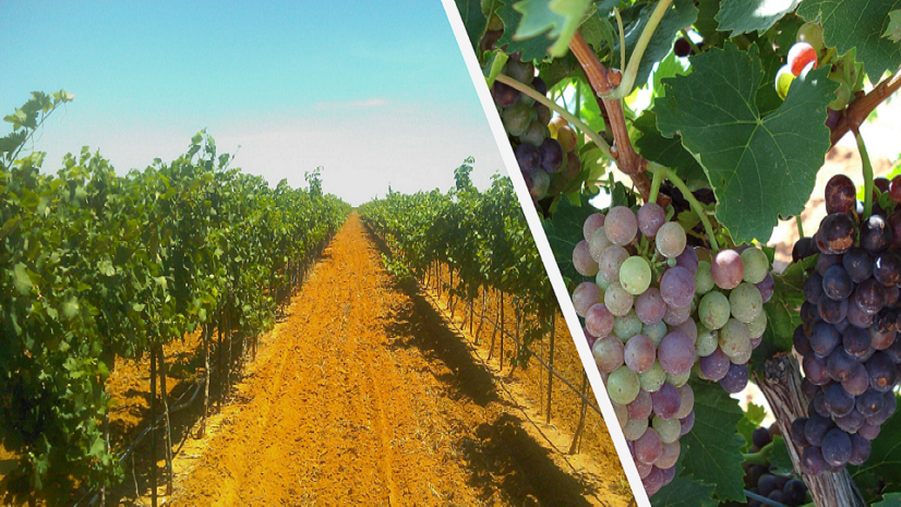
In this episode of the Field Notes podcast, we sit down with Elvis Takow, a Solutions Engineer on the Esri Natural Resources team. Elvis discusses the role of GIS in commercial agriculture and how it’s used to select sites, inspect crops, combat climate change, and more. In our evolving world, GIS is used in agriculture now more than ever. Listen to the episode to learn more.
Take our survey
We’re looking for your feedback so we can create the episodes you want to listen to. Please fill out this short survey with your feedback, ideas, and whether or not you’d like to be on an episode of Field Notes. Optionally, fill out the survey in a separate tab.
Banner and card image by Johny Goerend on Unsplash.