With the help of our user community and partners, Esri is curating an immense and rapidly growing collection of ready-to-use maps, imagery, and geo-referenced data for the world. This online collection of authoritative content, together with the new Web GIS pattern, is having a profound impact on the way people apply GIS.
The Living Atlas of the World is connecting people with information they need to solve problems and meet challenges, and we are seeing evidence of this almost everywhere we look. As a Cartographer, it has been thrilling to watch the rapid increase of Living Atlas content being applied to all kinds of industries.
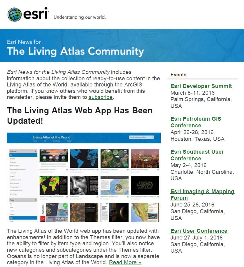
This issue of Esri News for the Living Atlas Community highlights the enhancements made to the Living Atlas of the World Web App. We have included great examples of applied use of Living Atlas content, including the first set of international stream gauges, new analytical capabilities and enhancements to ocean content, and updates to Esri’s global collection of multi-scale, multi-resolution and multi-source World Elevation services.
![]()
I encourage you to share this newsletter with others who may benefit from its content by inviting them to subscribe. Likewise, I invite you to contact me with feedback about the newsletter and what you would like to see in future issues. I am glad you have joined us in helping to build the Living Atlas of the World!
Esri News for the Living Atlas March 2016


Article Discussion: