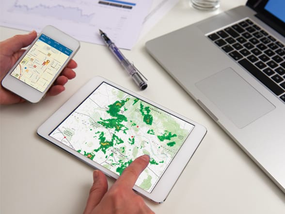
Every GIS map has an interface—a user experience for putting that map to use. These experiences are called “apps,” and they bring GIS to life for all kinds of people. And like other apps, these work virtually everywhere: on your mobile phones, tablets, in web browsers, and on desktops.
 GIS on mobile devices is changing how we interact with geography. With your phone, you can access GIS maps and data anywhere, positioning you and your organization to leverage full GIS capabilities in the field. A GIS-enabled smartphone is also an advanced live data sensor.
As a publisher in ArcGIS, you can configure an app for specific users you want to reach by including a certain map or scene, and data layers, and setting other app properties. These configured apps are what you can save and share with selected users. And you can manage these apps as items in your ArcGIS account.
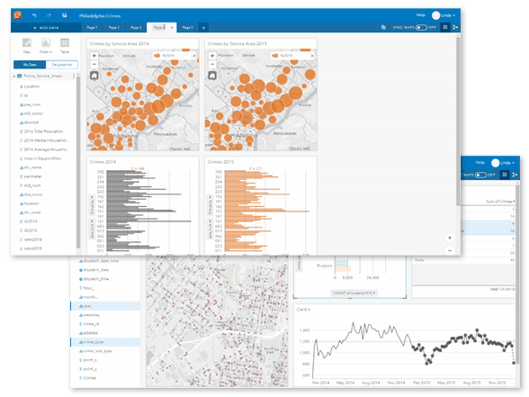
 Insights is a new Esri app designed to explore and interpret GIS data layers using maps and charts. You can integrate additional rich layers to help investigate your data more deeply while discovering new patterns.
People have embraced the concept of apps. They get it. Many already use and value basic personal navigation maps, but expectations have been raised, and people increasingly want map apps that “do more.”
The result is that map-based apps are the way that organizations extend the reach of their GIS in significant ways.
For a complete list of apps available with the ArcGIS platform, visit Apps for Everyone.
—–
This post is excerpted from The ArcGIS Book, Second Edition: 10 Big Ideas about Applying The Science of Where, by Christian Harder and Clint Brown. The twin goals of this book are to open your eyes to what is now possible with Web GIS, and then spur you into action by putting the technology and deep data resources in your hands. The book is available through Amazon.com and other booksellers, and is also available at TheArcGISBook.com for free.
Commenting is not enabled for this article.