Technology has made the farthest corners of the planet more accessible than ever before. We can video call loved ones on the other side of the world; and we can view photos of foreign landmarks at the click of a button. Mapillary, is taking this accessibility to the next level by letting anyone and everyone create their own street-level maps.
They’re connecting millions of photos taken by thousands of users around the world, allowing users to create maps of previously uncharted territories in an instant, and giving people the ability to map the places they care about.
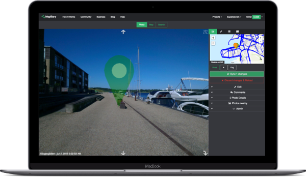
With more than 50 million photos, they have mapped more than 1.2 million kilometers in more than 170 countries to date. Through their app (available on iOS and Android), anyone can contribute photos from their smartphones, GoPros and other action cameras. Furthermore, their technology lets anyone use existing images on Mapillary — and the data that they extract from them.

Today, Esri Partner, Mapillary, is announcing $8 million in Series A funding from world’s most prominent venture capital firms, Atomico, Sequoia, LDV Capital, and PlayFair to help map the world beyond where cars can go. They not only plan to fill in the blanks on existing maps, but to create their own complete representation of the earth to benefit governments, businesses, nonprofit organizations, and curious explorers alike.allowing users to create maps of previously uncharted territories in an instant, and giving people the ability to map the places they care about.foreign landmarks at the click of a button. Mapillary, is taking this accessibility to the next level by letting anyone and everyone create their own street-level maps.
“Mapillary is reinventing the way we map and navigate our world,” said Niklas Zennström, CEO and Founding Partner at Atomico. “Their ambition is to transform the way we plan our cities, develop transport networks and understand other parts of the globe. We’re proud to invest in the next phase of their growth and look forward to working alongside Jan Erik and his team as they advance their technology and scale the business.”
The 3D visualization of famed monuments like La Sagrada Familia in Barcelona and hard-to-access locations like Pyongyang, North Korea opens up the possibility for crowdsourced virtual reality. The immersive virtual world is not just a tool for geographic data collection, but for a cultural shift that puts the documentation of unfamiliar land in the hands of the people who walk it.
While the world collects the data, they’re working to make it valuable. Google’s Street View pictures aid the occasional navigator, but Mapillary’s collection is a tool for more serious decisions.
Cities, corporations, and nonprofits can access Mapillary’s platform through an extensive API, which holds multiple layers of visual data. Mapillary’s ArcGIS integration — built in partnership with Esri, the world leader in Geographic Information System (GIS) software — lets governments, nonprofits and businesses see locations evolve in real-time, arming them with insight into infrastructural problems like inefficient public transportation and changes in road conditions.
 Through partnerships with nonprofits, they are using the technology to improve infrastructure in developing nations. In collaboration with the World Bank, local university students and community members are mapping Dar es Salaam, Tanzania in an effort to combat the devastating flooding that the rapidly growing metropolis experiences during its rainy season. The Red Cross has been using Mapillary for their Missing Maps project, which aims to chart underserved areas from Haiti to Uganda.
From suburban backyards to the ice shelves of Antarctica, Mapillary allows people to immerse themselves in places both familiar and unknown through stunning imagery. As we continue to grow, so will our capacity to make the world virtually accessible for users — and physically accessible for those who put our data to good use. Learn more: mapillary.com/arcgis


Article Discussion: