The Esri Startup Program is back from the annual 2017 Esri Partner Conference (EPC) and Developer Summit (DevSummit) in Palm Springs, California. These are two events held at the same location that overlap by one day. It’s one of the most important events of the year for Esri community.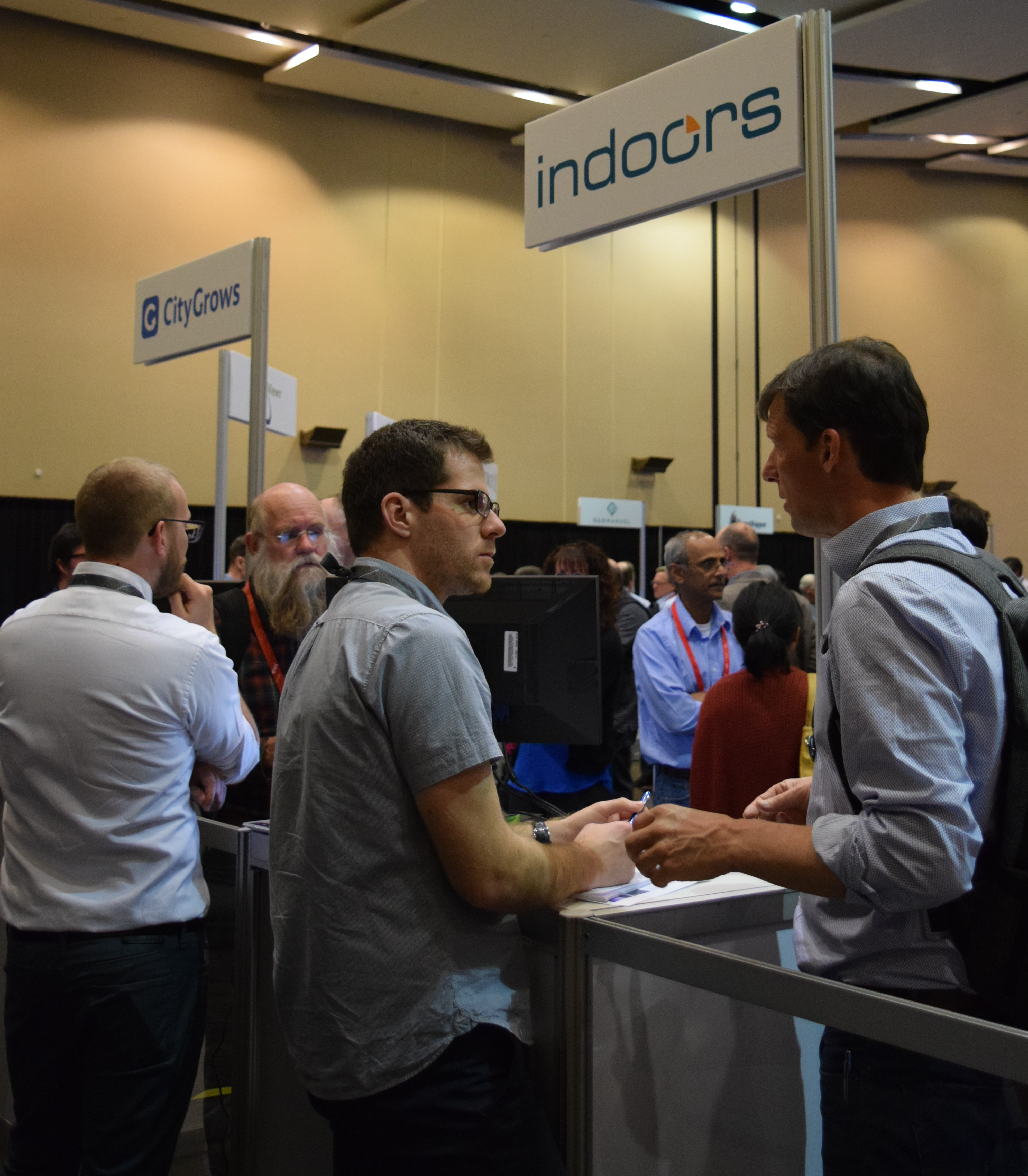
For many of you that didn’t get a chance to attend we wanted to provide you with an update on the outcomes of the Startup Zone at EPC. For those of you unfamiliar with the Esri Startup Program, the global, free, three year program gives emerging businesses the tools to build mapping and location analytics capabilities into their products. Qualifying startups receive online services, software, training and support, content, and other opportunities to help them succeed. As part of the program offering, members have access to participate at Esri events such as the EPC, DevSummit, Esri UC and more.
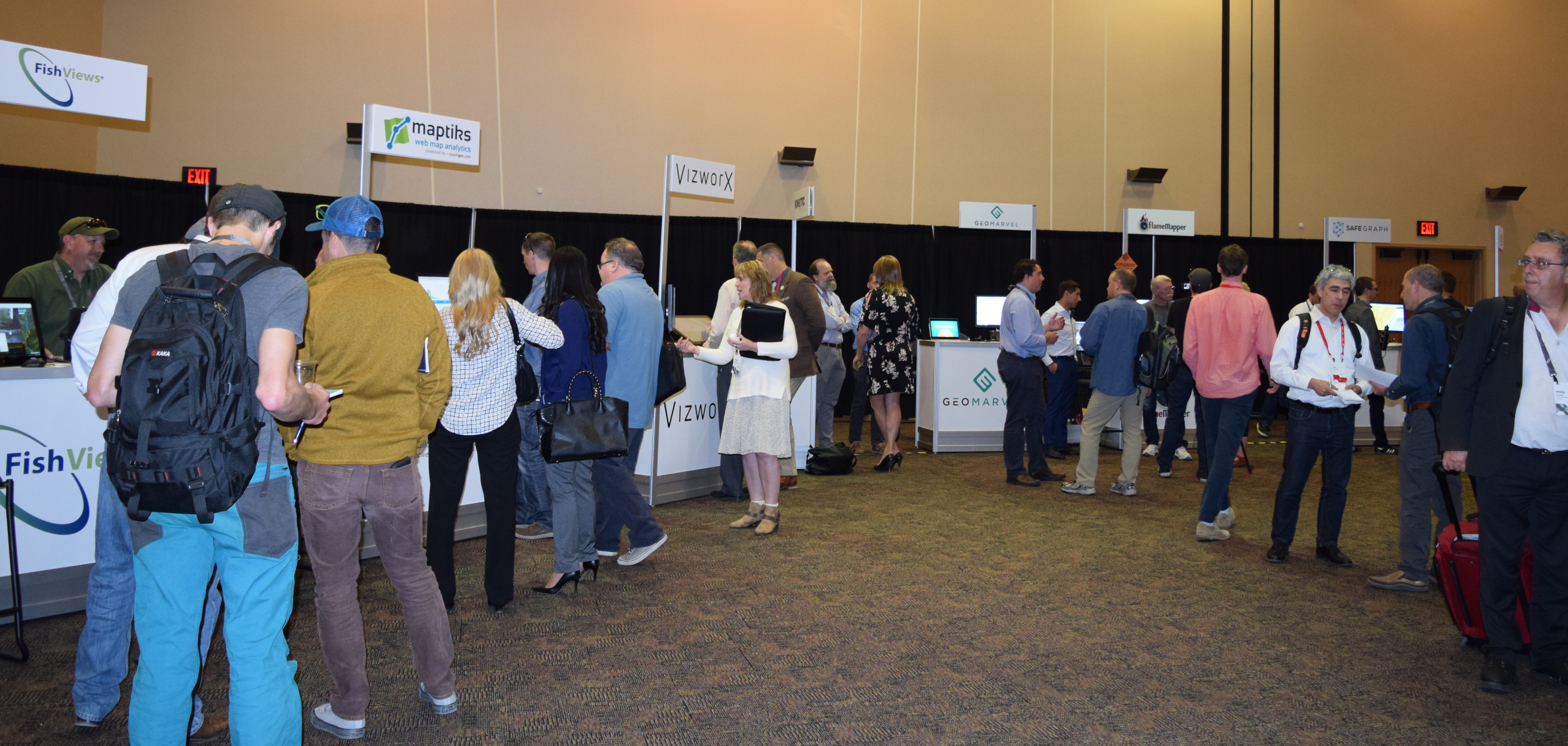
 Within the EPC EXPO floor 11 emerging businesses hosted booths and shared their innovative technology solutions. Additionally, over 60 program members were in attendance to celebrate their efforts and develop the strategies and skills to extend the value of their business and further demonstrate the power of geographic information to deliver success. Members support an array of industries from public safety, commercial, government, transportation and more.
We encourage you to learn more and connect with Esri’s startup partners via the list below:
- Argis Solutions: Introduce Augmented Reality (AR) to your world with the Argis® Framework—the most advanced business tool available in the rapidly expanding AR marketplace. Unlike virtual reality, where a simulated world is created, AR technology allows you to layer your chosen data or digital elements on top of a real-world, real-time view of your surroundings. The Argis® Framework will forever redefine the way field technicians interact with geospatial data and the physical world. In addition to this award-winning product, Argis® Solutions is a GIS+AR Consultancy solving hard problems for your organization.
- CityGrows: CityGrows is the low-cost transparency-first process management and open data platform for government.
- FishViews: FishViews’ cloud-hosted Atlas of Waterways brings high resolution, data-rich SmartMaps of rivers, coasts and shores to your desktop, mobile and virtual devices.
- FlameMapper: FlameMapper‘s Fire Behavior Engine provides unmatched insight to wildfire risk at the drop of a pin: From fire prevention and maintenance, to downed utility infrastructure, know what’s at risk. Intuitive visualizations are tailored to mathematically pinpoint high risk infrastructure, so prioritized action can be taken resulting in countless savings. Statistically effective mitigation results that can influence wildfire to burn around valuable infrastructure instead of burning through it. Do you know what’s at risk and how much it will cost during your next wildfire emergency?
- GeoMarvel: GeoMarvel, a geospatial software development company, an Esri Emerging Business Partner and an up and coming company for ArcGIS platform solutions. The company’s expertise is focused on strategy, design, and development for GIS and location-based projects, applications, and solutions.
- indoo.rs: indoo.rs provides indoor positioning and navigation services – like a GPS for inside. Using iBeacons, Wi-Fi and the sensors in the phone indoo.rs provides a best in class blue-dot experience.
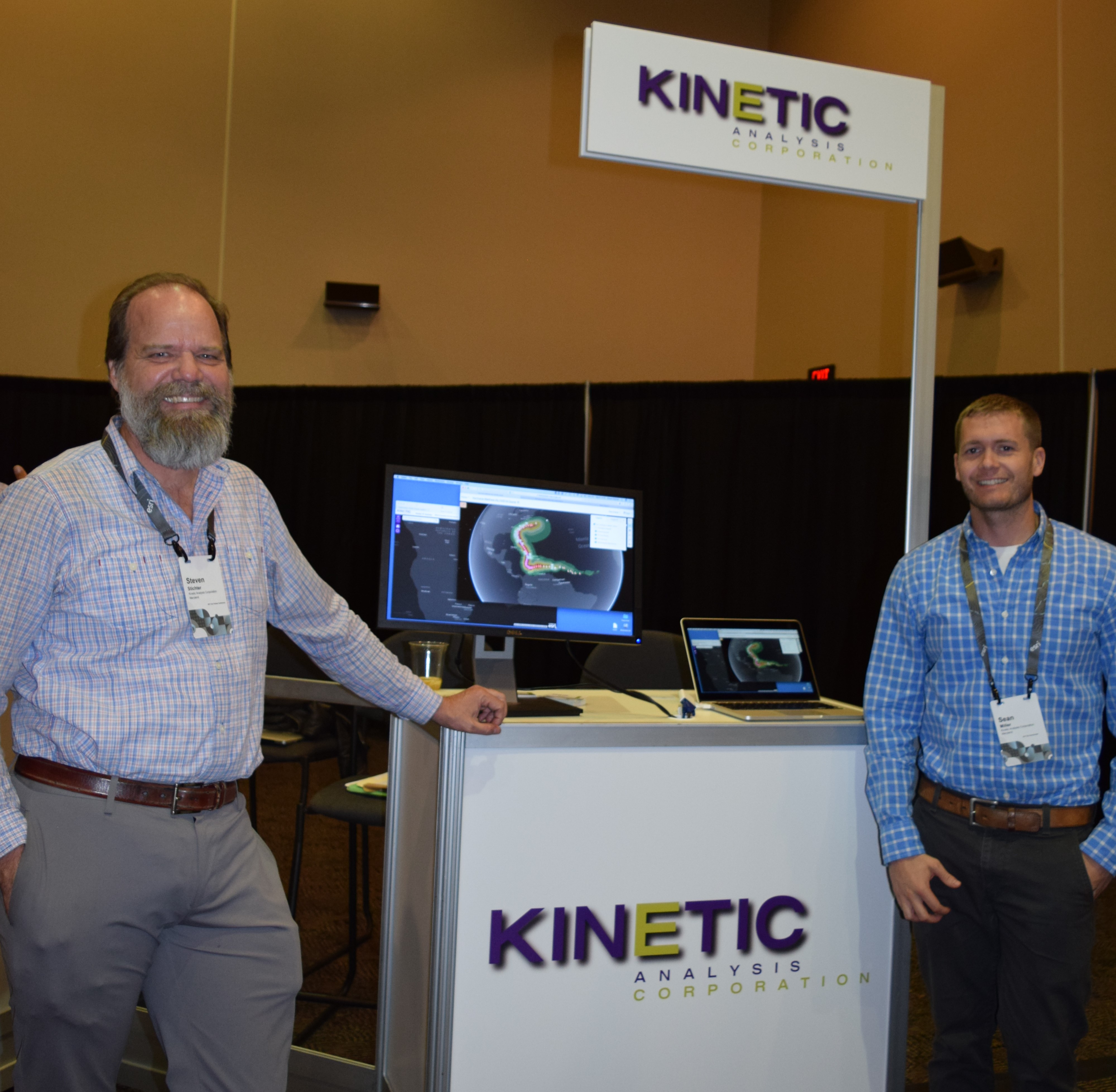
- Kinetic Analysis Corp: Kinetic Analysis is a leading B2B data provider of near real-time hazard and impact data for tropical cyclones globally. By applying advanced data assimilation and numerical modeling, we translate all active storm forecasts across the globe into detailed hazard footprints (wind, storm surge, wave and rainfall) to support informed business, operational, emergency and risk management decisions. When combined or integrated with your geospatial intelligence our tropical cyclone hazard data enable deep insights into potential impacts from threatening tropical cyclones.
- Maptiks by Sparkgeo: Sparkgeo has created the first map user engagement analytics technology. You can now determine if your web map is serving your purpose, report on its engagement and identify how to build a better map.
- SafeGraph Inc: SafeGraph maintains the ground truth dataset for human movement across the globe. We provide high-quality location data products to help organizations make better decisions and improve lives.
- Setld: Setld is a next generation “geospatial+” data and service provider (current primary focus is oil and gas). We offer foundational and custom data products, consulting (from data flows to dissemination innovation), and GIS / BI as-a-Service platforms. Some of our goals: Provide cleaner and more cost effective data products (better mousetraps), provide geospatial platform and analysis capability to organizations who’ve been shutout due to resource constraints (GIS-as-a-Service), help customers efficiently transform raw data into actionable information.
- VizworX: VizworX improves our customer’s strategic planning, decision-making and communication capabilities through the application of interaction technologies and information visualization methodologies. VizworX will be demonstrating its multi-user map-based planning and collaboration touch table technology.
To learn more about the Esri Startup Program visit, esri.com/startups, and don’t forget to 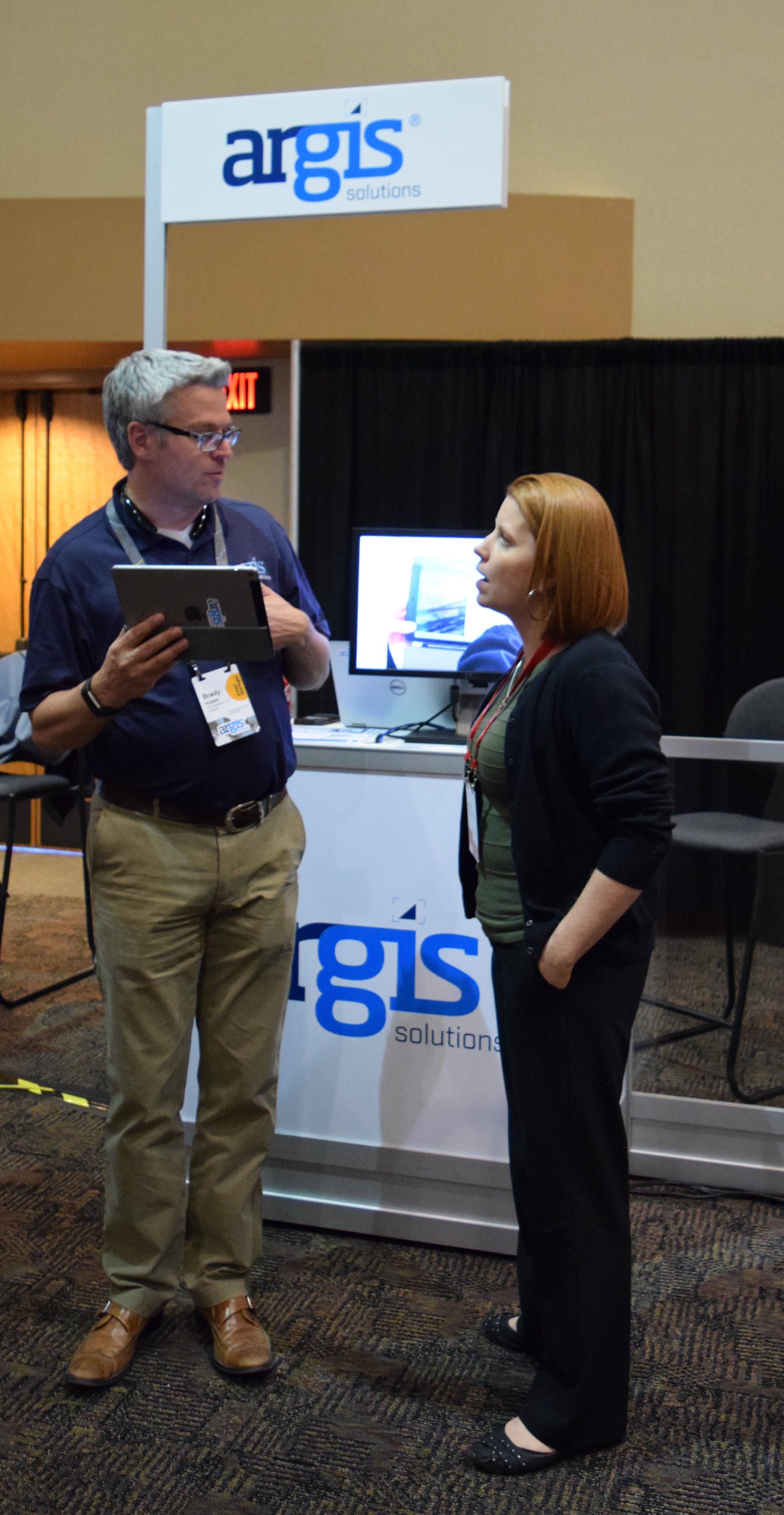 register for the biggest GIS event of the year, the Esri User Conference, July 10-14, 2017, San Diego, California. Stop by the Startup Zone (SUZ) on the EXPO floor. The Esri UC is your event to meet Esri’s software developers, technical and training staff, and customer service support teams. Learn tips and tricks from other Esri users who are located all over the world, in more industries than you can imagine. View maps, play with apps, listen to presentations, visit solution providers, network with your peers and meet new friends. There is something for everyone.


Article Discussion: