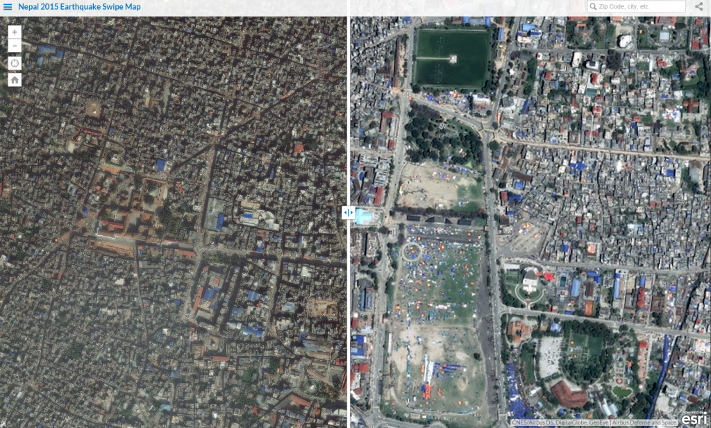
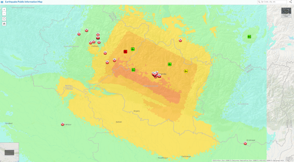
The Esri Disaster Response team has assembled a collection of maps and imagery of the Nepal Earthquake (Himalayan earthquake) and the response effort. These are available for you to use at no cost. The collection includes a swipe map that compares imagery before and after the event, an interactive earthquake map, a storymap on the event and relief operations, a gallery of Esri maps and applications created by users focused on the earthquake, and a gallery of map and data resources to support response efforts. We’ll be updating this website as new information comes in.
The below maps and imagery are available on the Esri Disaster Response Program web pages.

Article Discussion: