Description
As part of ArcGIS Online, Esri’s Ocean Content supports a vast GIS community. Thank You to our Contributors and Partners who help support the Living Atlas of the World by providing data and enriching these amazing resources.
Oceans content is one of the many themes of data available within the Living Atlas of the World. Last month Esri released nine new data layers expanding our curated collection of ready-to-use map layers.
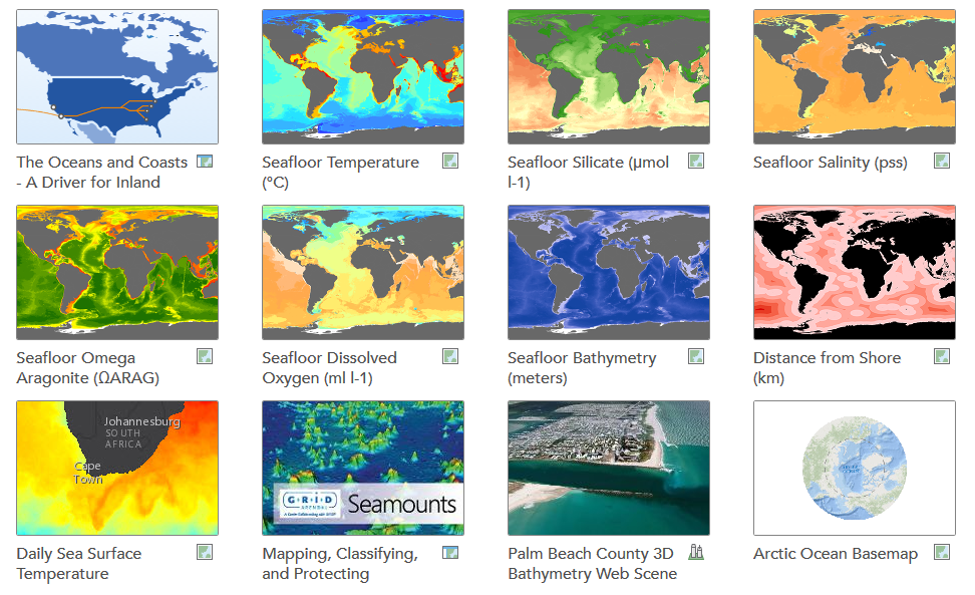
New Ocean content associated with this release:
- Sea Surface Temperature (Multi-Dimensional Time enabled)
- Arctic Sea Surface Temperature (projected for use with the Arctic Ocean Base Map)
- Distance from Shore
- Seafloor Aragonite
- Seafloor Bathymetry
- Seafloor Dissolved Oxygen
- Seafloor Salinity
- Seafloor Silicate
- Seafloor Temperature

Each one of these resources are global in coverage and hosted as image services to provide full functionality throughout the ArcGIS Platform. These services do require an ArcGIS Online log-in but do not utilize credits. You can connect directly to these services in ArcGIS Desktop or these services can be used in web and mobile applications.
Some use-case examples of these datasets include:
- Deriving seafloor slope by accessing the Seafloor Bathymetry image service in ArcGIS Desktop and preforming Spatial Analysis Tools Surface Slope geoprocessing.
- Generating contours from the Distance from Shore image service in ArcGIS Desktop by preforming 3D Analyst Tools Raster Surface Contour geoprocessing.
- Obtaining seafloor temperatures for bottom fishing locations by accessing the Seafloor Temperature image service in ArcGIS Desktop and preforming Spatial Analysis Tools Extraction Extract Values to Points geoprocessing.
Living Atlas Community
- How do I Use? Combine content from the Living Atlas with your own data. Create powerful new maps and applications!
- How do I contribute? Join the growing community of Living Atlas of the World contributors. There are two ways to contribute!
- Learn more about the ready-to-use content that is available in the Living Atlas of the World, including how you can contribute your maps and data.
- Use Living Atlas Image Services in Your Desktop Analysis blog post


Article Discussion: