Check out Earth Observation Services updated in the Living Atlas

Earth Observation image and map services have been updated in the Living Atlas of the World. This includes data from NASA’s Global Land Data Assimilation System (GLDAS) and NOAA’s National Water Model. The updates include increased analysis and easier to use capabilities. Added raster functionality, support for large output sizes, and the addition of fields were also included in the update.
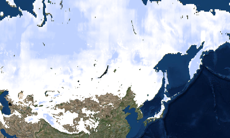
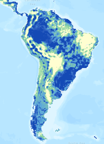
The GLDAS raster image services, known as EarthObs2.arcgis.com, were updated with ArcGIS for Server 10.4.1 in order to support new raster functions. They can now take advantage of the Image Display Renderer raster function called Calculate Anomaly. This allows the user to calculate the difference between the selected month and the historical normal for the data. These services have also been reconfigured to support the creation of large output image sizes. This enables the user to utilize the services on larger display devices at full screen. Below is the list of the five GLDAS services that were updated:
GLDAS Evapotranspiration 2000 – Present
GLDAS Precipitation 2000 – Present
GLDAS Soil Moisture 2000 – Present

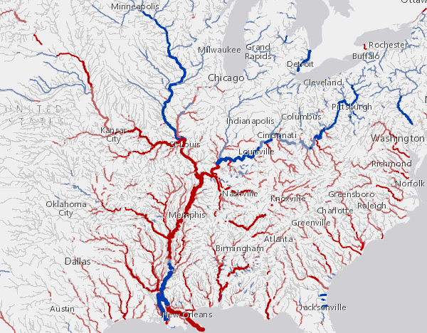
The National Water Model map services, known as Livefeeds2.arcgis.com, had a schema change to the base data to include the ‘Reach Code’ field. This field makes it possible for the user to extract data by watershed value with a REST query using a where clause. To support this new field the underlying table that supports the data had to be renamed. ‘LargeScale’ has been changed to ‘LargeScale_v2’. The layers within the map services have been reorganized which results in the user being presented with layer ‘0’ rather than layer ‘4’ which provides a more predictable experience when accessing the services. Below is the list of the four National Water Model services that were updated:
National Water Model (10 Day Forecast)
National Water Model (10 Day Anomaly Forecast)
National Water Model (Hourly Forecast)
National Water Model (Hourly Anomaly Forecast)


Commenting is not enabled for this article.