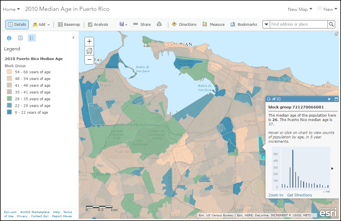
Esri Demographic content was updated in August to include detailed Puerto Rico Census 2010 data. Over 1,200 variables that cover topics such as age by race and Hispanic origin, families, group quarters, household size, housing by race, and owners vs. renters were added for eight levels of geography.

How will these updates affect me?
For the Ready-to-Use Maps User within ArcGIS Online
- Two new demographic layers and maps for Puerto Rico present Census 2010 Median Age. (Web Map, Map Image Layer)
For Business Analyst and Community Analyst Users
- Business Analyst and Community Analyst users can access the data through Color-coded Maps, in Smart Map Search, in the Puerto Rico 2010 Census Profile report as well as in custom reports.
For the Data Enrichment user in ArcGIS Online or ArcGIS Maps for Office
- The Puerto Rico data is available for analysis and visualization. See the attribute list for details (pdf, csv).
For the Developer consuming the GeoEnrichment Service
- Puerto Rico Census 2010 data is added to the GeoEnrichment Service.
You can access the updated information by querying the GeoEnrichment Service. To access the service, you need a valid Esri developer or organizational subscription.
As an additional resource, the developer documentation for the GeoEnrichment Service endpoints of the ArcGIS REST API, the GeoEnrichment widget components (Dijits) of the ArcGIS API for JavaScript, and supporting classes within the GeoEnrichment package of the ArcGIS API for Flex contain useful information describing their parameters or properties.


Article Discussion: