Back this year by popular demand – we’re inviting you – our UC family (in person attendees, digital access attendees, Esri partners, Esri international distributors, and family and friends as well) to join us for the Esri UC Virtual Run/Walk/Bike event! Get out of the house. Get out of the office. Get outside. And just plain old GET ACTIVE!
Put on a pair of your comfiest sneakers. Grab your water bottle and bike helmet. And if you’re planning on walking, find the dog leash and take your favorite furry friend out for a stroll with you (we’re pretty sure your pup will thank you with a few extra tail wags and some wet slobbery kisses for that).
You can run, walk, or bike as many times as you like to contribute to our community challenge of making it around the world together.
No matter where you are, from New Jersey to New Zealand, Barcelona to Bangladesh…and even all 12,000 plus folks of you, from in between, who’ll be hanging out with us centerstage in San Diego in the middle of the big UC event…we invite you join to us for the Esri UC Virtual Run/Walk/Bike 2022 event.
Sharing your fitness journeys will help us reach our community goal, and it might even land you on one of the individual leaderboards yourself.
Let’s go around the world together (again)!
You may be asking yourself, what exactly is the Esri UC Virtual Run/Walk/Bike 2022 event?
The Esri UC Virtual Run/Walk/Bike 2002 event is an opportunity to join the Esri GIS community on our third annual Let’s Go Around the World Together journey across the globe. Esri User Conference attendees (in person and digital access attendees), as well as extended family and friends, are all invited to get active and join us virtually throughout the week of the conference.
Using the ArcGIS QuickCapture mobile app you’ll track your fitness routes and capture photos along the way. The route, time, and any photos you capture will be added to a 3D event app that will showcase the Esri community. Additional dashboards will show off individual results and progress toward our community goals.
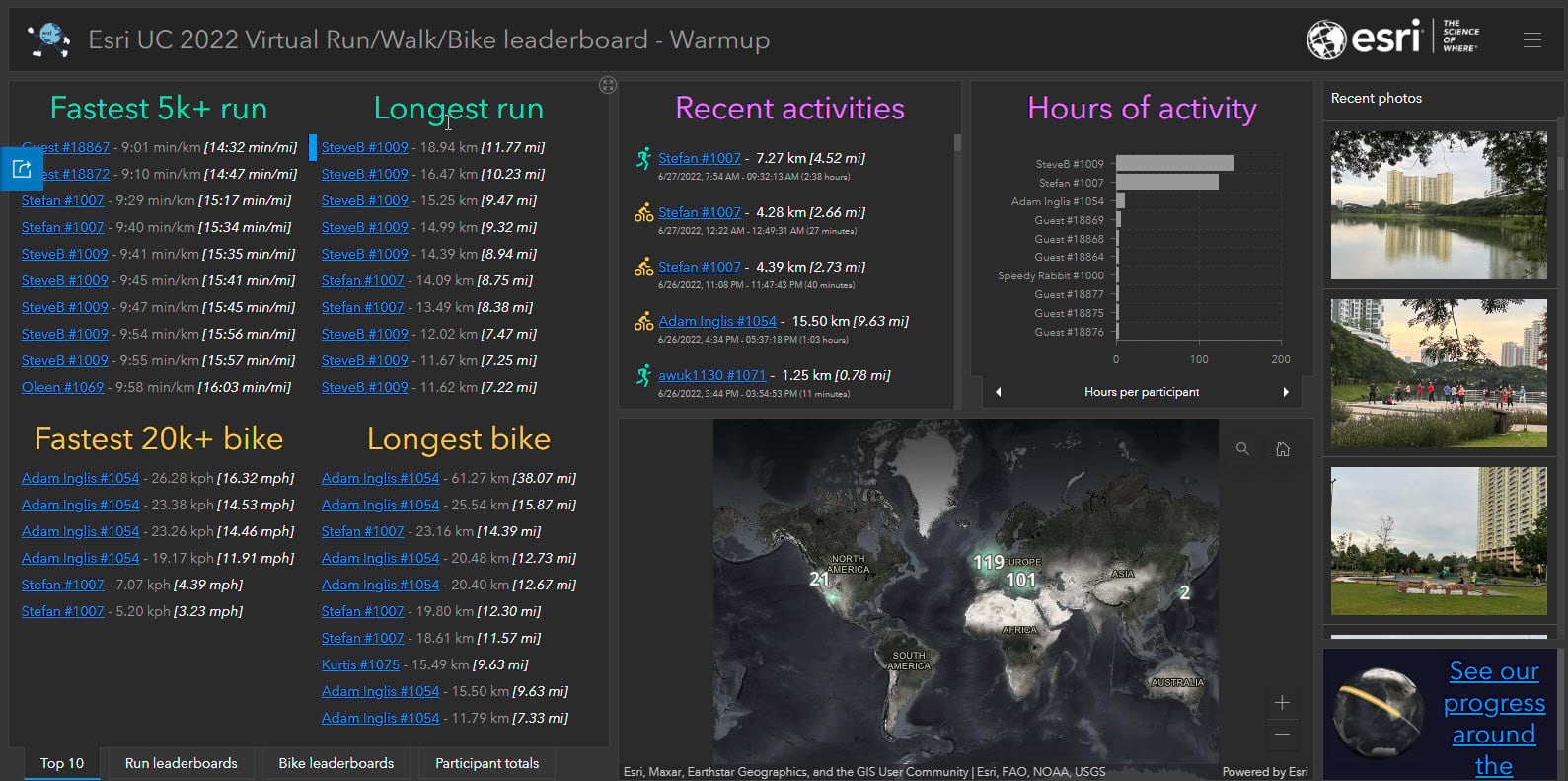
You can run, walk, or bike as many times as you like, anytime during the Esri UC week, between July 9–July 15. Each route you track and submit will contribute to the community challenge and could also get you on the leaderboard.
Participation is free and Esri UC registration is not required.
We started this event two years ago when we couldn’t hold an in-person User Conference due to COVID-19 restrictions, but it was so popular that we decided to carry on the tradition again this year.
Anyone participating in the in-person Esri UC 5K Fun Run/Walk event that will be held in San Diego (on Wednesday, July 13) are also welcome and may also participate in the Esri UC Virtual Run/Walk/Bike 2022 event during the rest of the UC week.
How does the Virtual Run/Walk/Bike work?
- Sign up with this form. You’ll get a confirmation email that describes how to map your route.
- Go for a run, walk, or bike ride anytime between July 9-15 (the week of the 2022 User Conference). You can submit as many times as you’d like throughout the week.
- View your route on our global event map, receive a participation certificate, and explore runs around the globe.

Need some inspiration?
For the past few weeks folks around the world have been warming up for the main event. Check out these recent warm-up routes to get ideas for where you might take a run, ride, or walk through your neighborhood.
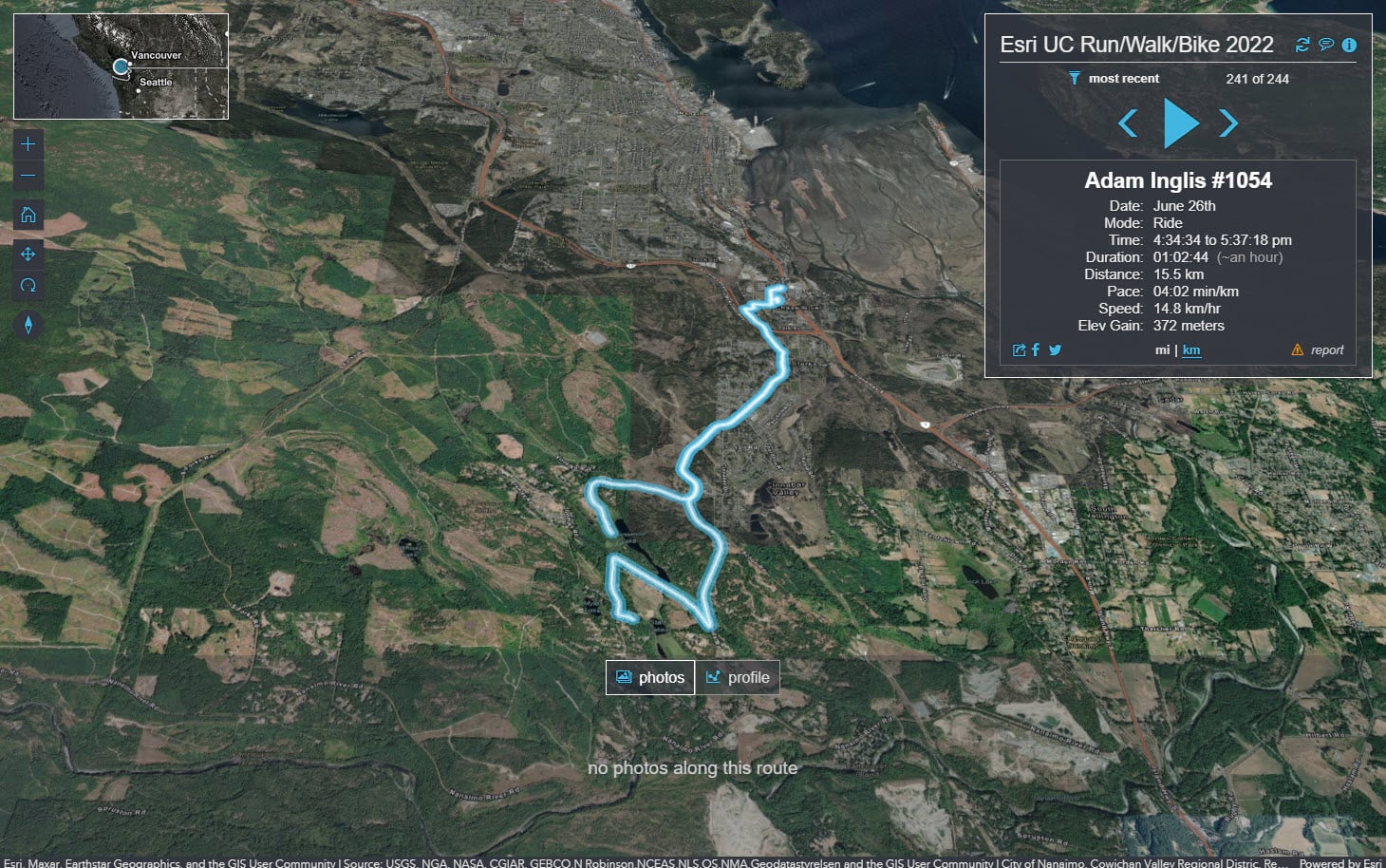
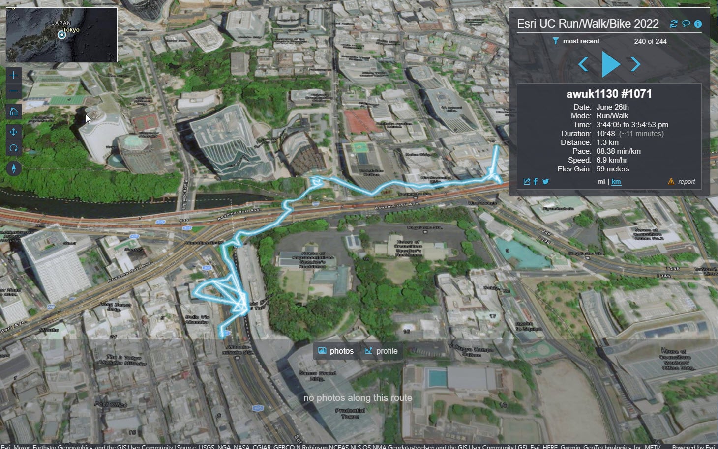
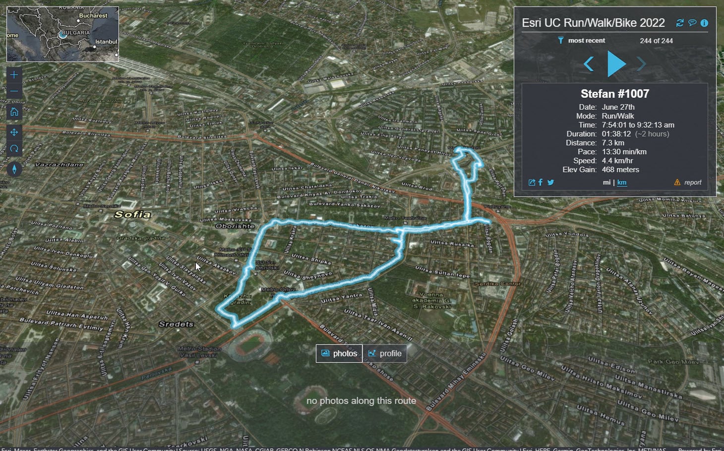
We’re trying to go around the world (40,054 km [24,888 miles]) together, and every kilometer counts. Last year almost 2,000 of you signed up from over 72 countries and we made it 24,524 km/15,239 miles (61% around the world).
Are you ready to double that this year?
So, what should you do now?
Sign up to participate on the Esri UC Virtual Run/Walk/Bike website (Fun fact: our race central website was built with ArcGIS Hub).
Then put on your Esri t-shirts and other fun Esri swag to show your spirit. Take a selfie and post a photo on social media using #esri2022run. Read our FAQ if you have any remaining last minute questions.
Now it’s time to get moving! We can’t wait to see all the cool places you’ll run, walk, and bike.
On your mark, get set, go! Let’s go around the world together! Globie is waiting for you 🙂

P.S. Using Esri software every step of the way
One more quick thing. This isn’t just a run/walk/bike event. It’s also an opportunity to use some Esri products that you might not have had the chance to try out yet. You’ll see ArcGIS Survey123, ArcGIS QuickCapture, ArcGIS Hub, ArcGIS Dashboards, and more, in action. Using the different technology may even give you some ideas for how to implement similar workflows to accomplish goals within your own organization.


Article Discussion: