-
-
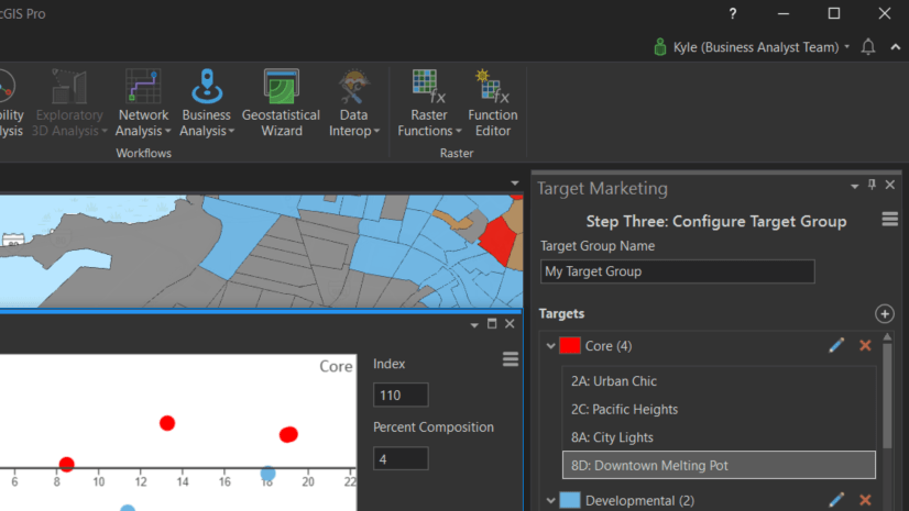
August 24, 2020
| Kyle Watson
|
Business
-
August 21, 2020
| Multiple Authors
|
Announcements
-
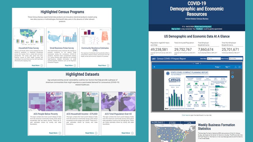
August 19, 2020
| Multiple Authors
|
Announcements
-
-
-
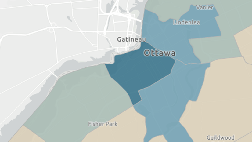
August 18, 2020
| Multiple Authors
|
Local Government
-
-
-
August 14, 2020
| Madeline Ericson
|
Announcements
-
-
-
August 11, 2020
| Multiple Authors
|
Local Government
-
-
August 10, 2020
| Priyanka Rawat
|
Mapping
-
August 10, 2020
| Multiple Authors
|
Sharing and Collaboration
-
August 6, 2020
| Samuel Cook
|
Analytics
-
-
-
August 3, 2020
| John Nelson
|
Mapping
-
-
-
-
opens in new window