If you are interested in learning more about ArcGIS Knowledge, graph analytics or link analysis in ArcGIS, we can’t wait to talk with you at the Esri User Conference this summer! Members of our product development team, solution engineers, professional services, and sales teams will be available to share with you the newest updates to ArcGIS Knowledge and the Knowledge Studio web app, and we’ve lined up an impressive array of demonstrations to inspire you with new ways to make ArcGIS work for you.
Join us for a Knowledge-focused technical session, stop by one of our booths on the Expo floor to speak with a product expert, or catch a focused tutorial. For public safety or intelligence-specific workflows, catch the industry summits and technical sessions. Or if you prefer to speak privately, please reach out to schedule a one-on-one meeting!

ArcGIS Knowledge Technical Sessions
The following technical sessions focus on ArcGIS Knowledge and Knowledge Studio and will be delivered by our product experts. They are designed to build or advance your understanding of knowledge graphs and spatially enabled link analysis in ArcGIS.
-
ArcGIS Knowledge: An Overview
For anyone new to knowledge graphs or link analysis in ArcGIS, this session will introduce ArcGIS Knowledge and explain how it empowers you to work with connected data and new analysis tools. You’ll also see examples of connecting related spatial and nonspatial data into networks to discover hidden connections, investigate networks, explore dependencies and supply chains, and more. (2 Sessions, 1 hour each) Note: The second session on Wednesday is available for virtual attendees to livestream.
-
ArcGIS Knowledge: Analysis Use Cases with Knowledge Graphs
Are you looking for something different than the usual product intro and requisite demo? In this “demo theater session” you’ll experience a smorgasbord of real-world examples of ArcGIS Knowledge applied in a variety of different use cases: from defense/intelligence investigations, to supply chain networks, cyber threats, trafficking networks, financial and communications analysis, and more. Our goal is to spark your interest and give you some ideas for how you could use spatial graph analytics for your mission. (1 Session, 45 minutes)
-
ArcGIS Knowledge: Beyond the Basics of Graph Data and Link Analysis
This is for anyone who is already familiar with the concepts of entities and relationships or who attended the Intro to Knowledge session. You’ll hear directly from Esri’s graph analytics experts about how to use capabilities like Filtered Find Paths, Arcade expressions, openCypher, Python Notebooks, AI, and more in ArcGIS Knowledge. It promises to be an engaging and informative presentation, exploring cutting-edge applications of knowledge graphs in ArcGIS in the context of social networks, military and intelligence use cases, supply chain networks, communications analysis, critical infrastructure dependencies, and more. (1 Session, 1 hour)
 listing key events at Esri User Conference for people interested in ArcGIS Knowledge and link analysis.")
To add these sessions to your schedule or learn more details about these sessions, please refer to our custom agenda list or the Esri UC Detailed Agenda. Only some sessions will be recorded (see image). Livestreamed session recordings will be available within 15 minutes of finishing the session. Other recorded sessions will be available starting August 15 to virtual registrants.
Drop by the Expo
The Esri User Conference (UC) is one of our best opportunities to connect with users, answer questions, and listen to your feedback. We appreciate the chance to hear directly from you about how you envision using knowledge graphs and graph analysis or link charts with your spatial data to help expedite your workflows and drive decision-making. If you have questions or need to request a new feature, UC is the perfect time to talk with us.
Several product team members will be at our booth in the Spatial Analytics area during all Expo hours:
- Tue, July 15, 9:00am – 05:00pm PDT
- Wed, July 16, 9:00am – 05:00 PDT
- Thu, July 17, 9:00am – 4:00 PDT
Also on the Expo floor, we have Solution Engineer specialists at the Public Safety, Defense and Intelligence, and Natural Resources industry booths with industry-specific demos.

Q&A with Graph Experts
Wednesday and Thursday from 1:00pm to 3:00pm, find us on the Expo floor in the Defense & Intelligence section, at the ArcGIS Knowledge booth, where Tim Murphy and Amy Clarke will be available to talk with you. Bring us your questions, feedback, feature requests, ideas, graph data model diagrams – we (and our trusty whiteboards) are here to help.
New! “Ready Set Graph” mini-tutorial series and Q&A with Esri Graph Experts
Just in case the dynamic duo of Esri graph experts isn’t enough of a draw, we also plan to debut a new series called Ready, Set, Graph! In an action-packed 15-minute booth-side mini-session, Amy and Tim will walk through how (and why!) to use one single feature in ArcGIS Knowledge. We hope to demystify some of the most-used (yet most-frequently-asked-about) features in ArcGIS Knowledge. If this approach is appealing to you, please stop by our booth! Note: The Ready, Set, Graph! series is designed to complement the technical sessions, not replace them!) These mini-sessions will not be recorded, and we may modify the content by popular demand.
Wed, July 16
- 1:30pm – 1:45pm PDT: Importing data (Load Table tool)
- 2:00pm – 2:15pm PDT: How To Write a Graph Query (open Cypher query syntax)
- 2:30pm – 2:45pm PDT: Centrality
Thu, July 17
- 1:30pm – 1:45pm PDT: Filtered Path-finding (Filtered Find Paths tool)
- 2:00pm – 2:15pm PDT: Temporal Link Chart Layout
- 2:30pm – 2:45pm PDT: Centrality
Summits @ UC
Defense & Intelligence Summit (DIS)
We’re sworn to secrecy on this one… but we can share that ArcGIS Knowledge will be featured at the DIS, and you won’t want to miss it. Registration is required in order to view the detailed agenda.
Esri Safety and Security Summit (ES3)
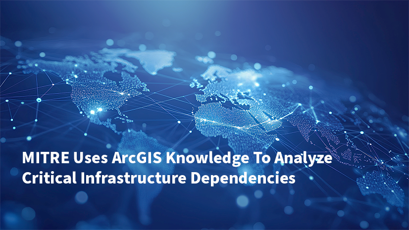
If you are attending the Public Safety Summit the weekend before the UC, you’ll encounter ArcGIS Knowledge frequently. Dr. Alex Philp and Ryan Hollins from MITRE will demonstrate their work on Project Homeland, explaining how ArcGIS Knowledge transforms the way they are thinking about and analyzing dependencies and vulnerabilities among critical infrastructure (Sat July 12, 9:30am PDT). Learn about how knowledge graphs help connect the dots for investigators in the session, Graph Analytics for Investigations (Sat July 12, 11:35am PDT); and hear about an important application of spatial graph analytics in, Combating Environmental Crime in the Amazon (Sat July 12, 3:10pm PDT).
Public Safety & Intelligence Sessions
For analysts looking for more investigations-focused functionality in ArcGIS, we are offering several technical demonstrations exploring spatial graph analytics powered by ArcGIS Knowledge, with ArcGIS AllSource as the user interface tailored for public safety investigators.
-
ArcGIS: Collaborative Intelligence and Investigations
Learn about the latest updates in both ArcGIS AllSource and ArcGIS Knowledge. Explore how enterprise graph analytics (Knowledge) transforms intelligence analysis and spatial analysis workflows with new tools for finding important nodes, outliers, and patterns. (1 Session, 45 minutes)
-
ArcGIS: Enabling Activity-Based Intelligence
Activity-based intelligence is the “OG” use case for combining spatial analysis and graph analysis capabilities. This session is for anyone who wants to learn how to analyze movement or track data from cell phones, vehicles, and other sources with graph analytics to identify movement patterns and explain why these movements are occurring. (1 session, 1 hour)
-
Object-Based Intelligence Using ArcGIS: Object Production, Management, and Dissemination
This session is for analysts who rely on documented ontologies for organizing and categorizing information about facilities, weapons, military units, and other Order of Battle information. You’ll see how to integrate an existing ontology into an ArcGIS Knowledge graph and use the pre-defined schema to connect multiple authoritative data sources. (1 session, 1 hour)
-
Technical Surveillance and Counterintelligence Workflows
If you’re a data scientist or technical user supporting counterintelligence missions or evaluating potential insider threats, you may be interested in this session. You’ll be exposed to various ETL methods for integrating data into ArcGIS, see an object detection workflow, an example of a common operating picture (COP) application built with ArcGIS, and see how the data can be tied together in an enterprise knowledge graph. (1 session, 45 minutes)
Learn More
ArcGIS Knowledge is an ArcGIS Enterprise capability extension that helps organizations fuse disparate data together, to “connect the dots” and discover hidden patterns and new insights. ArcGIS Knowledge offers combined spatial and graph analytics in ArcGIS desktop applications, ArcGIS Knowledge Studio in the web and Knowledge APIs (REST, Python, JavaScript, .NET).
Here are some additional resources about ArcGIS Knowledge that may be helpful as you prepare for UC.
- What’s New in ArcGIS Knowledge – updates and new features in Enterprise 11.5 and Pro 3.5
- Technical sessions and demonstration videos from previous conferences
- Training Options (Self Service and Instructor-Led)
- Join the Esri Community and find more resources
Not attending UC but have a question? Email us at AskArcGISKnowledge@esri.com


Article Discussion: