Sure to make many ArcGIS users happy, the World Latitude and Longitude Grids dataset was edited to include the 1-degree lat/long grid lines. Prior to this update, the smallest interval was 5 degrees.
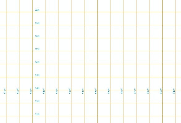
The dataset includes attributes to easily display grids at intervals of 1, 5, 10, 15, 20 and 30 degrees. All lines can be labeled with their actual value.
View the World Latitude and Longitude Grids item details on ArcGIS.com to download the layer package or visit the Esri Data & Maps World datasets page on the ArcGIS Content Resource Center for a list of all the world layers available for download on ArcGIS.com.
Contributed by James Shimota
This entry was posted in ArcGIS Online and tagged ArcGIS Content, ArcGIS Online, Data Collection and Management. Bookmark the permalink.
Great!
I get an error when I try to open it. It says “The package is not valid. Check with the package publisher for an updated package” Any help out there?
I just confirmed that this layer package opens correctly in ArcGIS Desktop 10 and ArcGIS Desktop 9.3.1 with the latest Service packs.
If this process is not working for you, it may be due to a lack of current software patches available at our home website, http://www.esri.com.
If you are running our latest 10.0 Desktop software, no patches are currently required. If you are running 9.3.1 Desktop, you will need to download and install the following:
http://resources.arcgis.com/content/patches-and-service-packs?fa=listPatches&PID=43&FilterPV_2=549&maxVersion=12&maxCategory=2&FilterVersion=+go+
And the specific files you need are:
ArcGIS (Desktop, Engine, Server) 9.3.1 Service Pack 1
ArcGIS (Desktop, Engine, Server) 9.3.1 Service Pack 2
ArcGIS (Desktop, Engine, Server) 9.3.1 Service Pack 2 Quality Improvement Patch
I’d also suggest installing the following patch from the same page so that you can successfully download any layer packages created using Desktop 10.0 software:
ArcGIS 9.3.1 Service Pack 2 Desktop Layer Packaging Patch
I hope this helps.
James