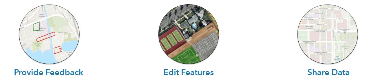
Community Maps contributors around the world continue to update their countries, counties, cities, and college and university campuses with local geographic knowledge. The Community Maps Team has made sharing your organization’s authoritative map layers easy by providing 3 methods for sharing your valuable map content. Click the image below to identify the best way to share your organization’s map layers.
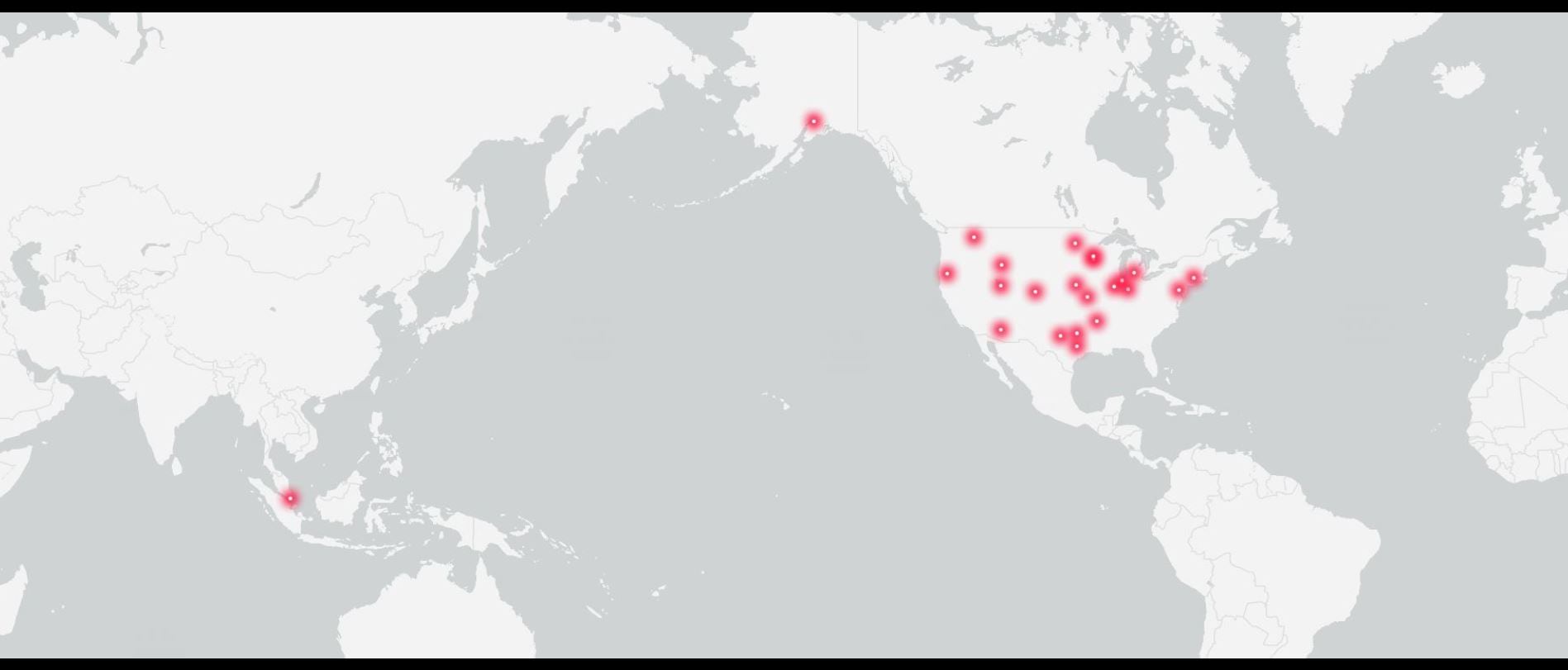
The latest basemap and imagery release includes over 35 communities spanning from southeast Asia to Europe. Click on image below to explore in detail.
Aurora, Colorado
Published Layers: Trees and Bushes, Special Areas of Interest, Landuse, Local Parks, Open Space, Owner Parcels, Trails, Waterbodies, Building Footprints and Road Centerlines.
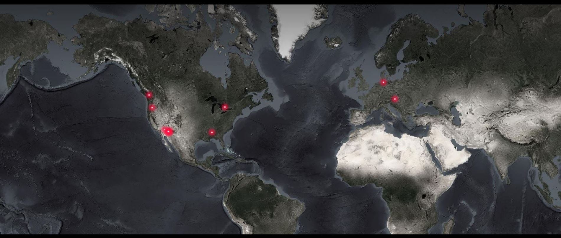
As Unmanned Aerial Vehicle (UAV) technology advances and drone fly-overs become increasingly popular and more affordable, we are seeing more organizations sharing their high-resolution imagery. The Community Maps Program enables these organizations to keep their imagery contemporary by hosting routine updates on ArcGIS Online at no cost. Click on image below to explore in detail.
Arizona State University - Tempe, AZ
Arizona State University (Tempe Campus 2019) imagery captured 11 months ago, on 3 Aug 2019. Resolution: Pixels in the source image cover a ground distance of 0.30 meters.
Community Maps Contributors
See who has contributed to the Community Maps Program.
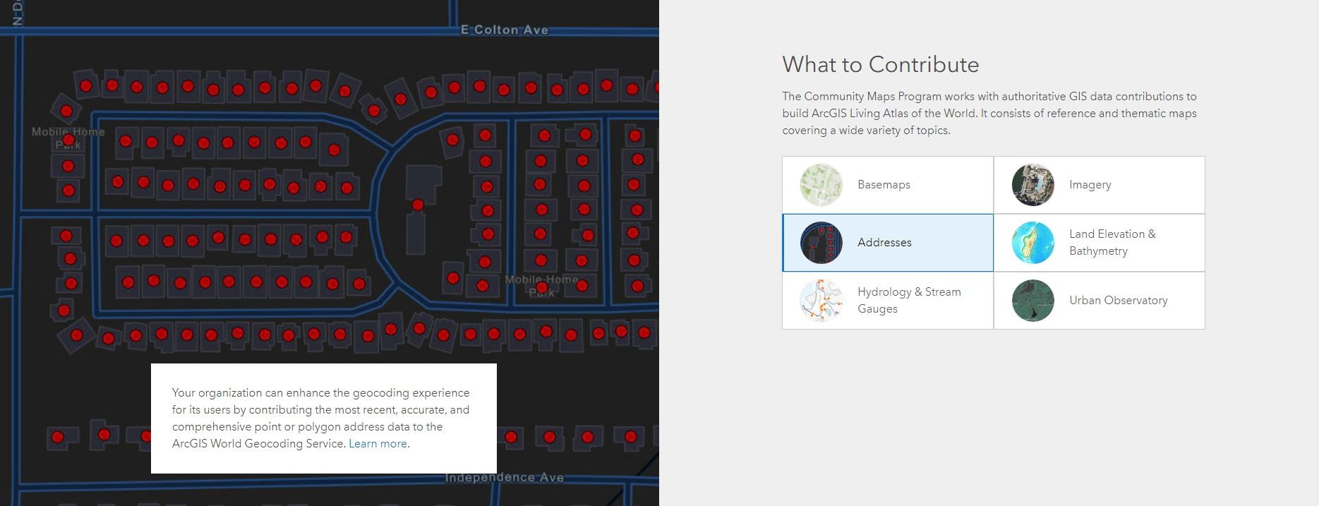
Click on the image below to see what your organization can contribute.
Email communitymaps@esri.com and we’ll help you get started!


Article Discussion: