The Community Maps Editor is a web app that enables you to edit parts of the Esri Community Maps basemap to add detailed features for universities, schools, parks, landmarks, and other special areas of interest. Currently, there are over 1,400 worldwide editors that have added over 165,000 features!
“There are so many edits made each day, it’s a challenge to keep track of it all. How can we gain an understanding of the feature types being added and where are these edits occurring?”, Seth Sarakaitis, Community Maps Program Manager.
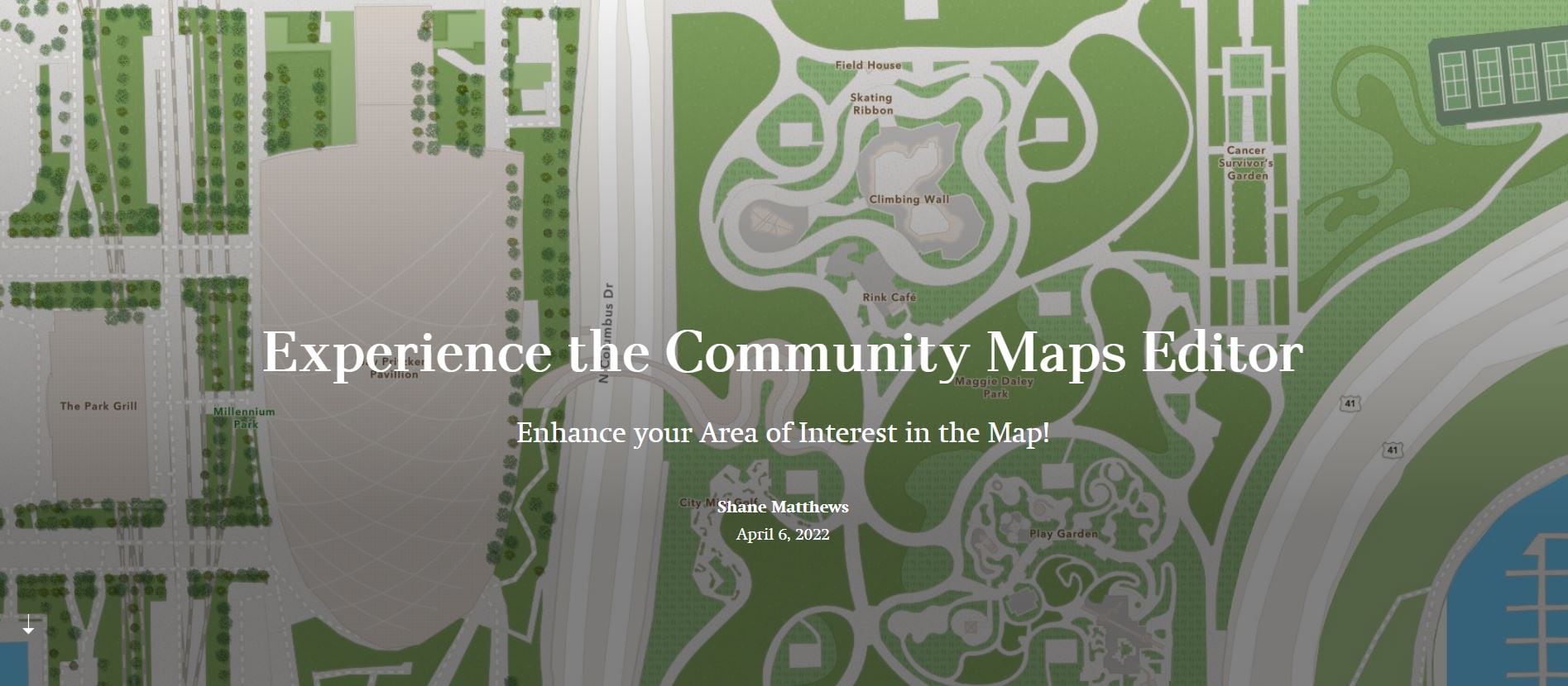
Introducing the Community Maps Editor Experience. This tour invites users to a self-guided experience by exploring interactive maps that expose completed and in-progress ‘community development’.
Worldwide Community Contributors
Explore the app below by clicking on red markers and zooming into areas of interest.
This guided tour allows users to explore the special areas of interest that our community editors have added by way of the Community Maps Editor App. These special areas of interest include large-scale map features supporting athletic fields and stadiums, parks and zoos, and highly detailed academic and professional campuses, and tourist attractions all over the world.
Experience the Community Maps Editor App now by clicking image below.

Article Discussion: