ArcGIS Living Atlas

Introducing Terrain Revelations

By Aileen Buckley, Esri Research Cartographer

We live in a fascinating world—one that is constantly revealing to us its many surprises, if we but know where and how to find them! The data in ArcGIS Living Atlas of the world can be used to reveal some of the world’s strange and most wonderful landforms. In this blog post series, I share some of my favorites.

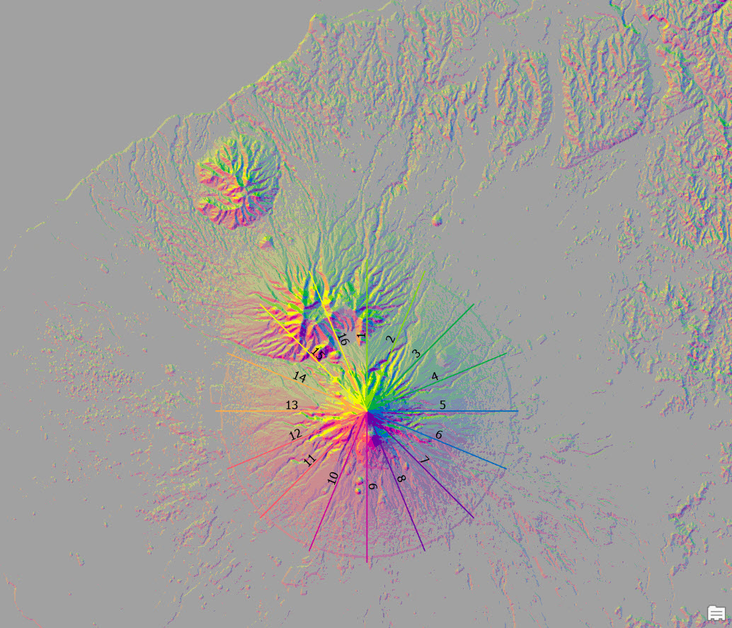
Examples include New Zealand’s symmetrical Mount Taranaki.
Taranaki

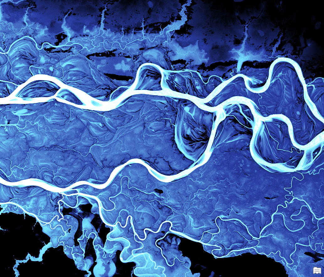
The curvaceous and mesmerizing Ob River.
Ob River

The mysterious creeping sand dune of I-n-Salah.
I-N-Salah

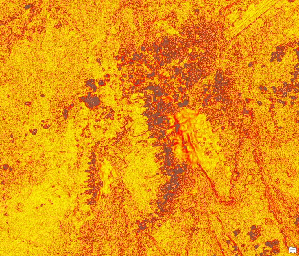
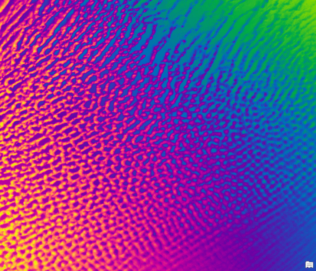
Monster gopher holes.
Gopher Holes

Wild and wonderful wind waves.
Wind Waves

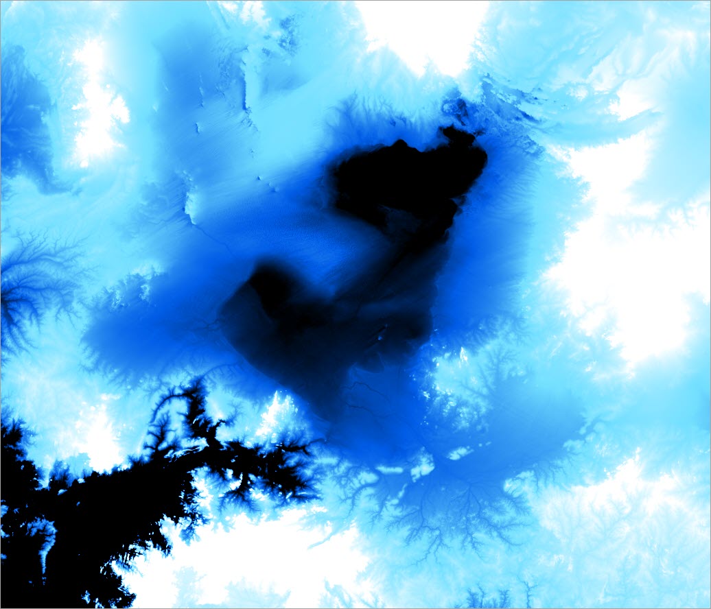
The missing lake MegaChad.
Megachad

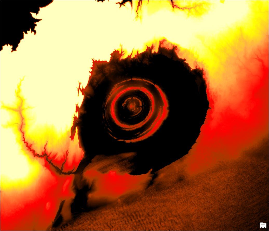
The Eye of the Sahara.
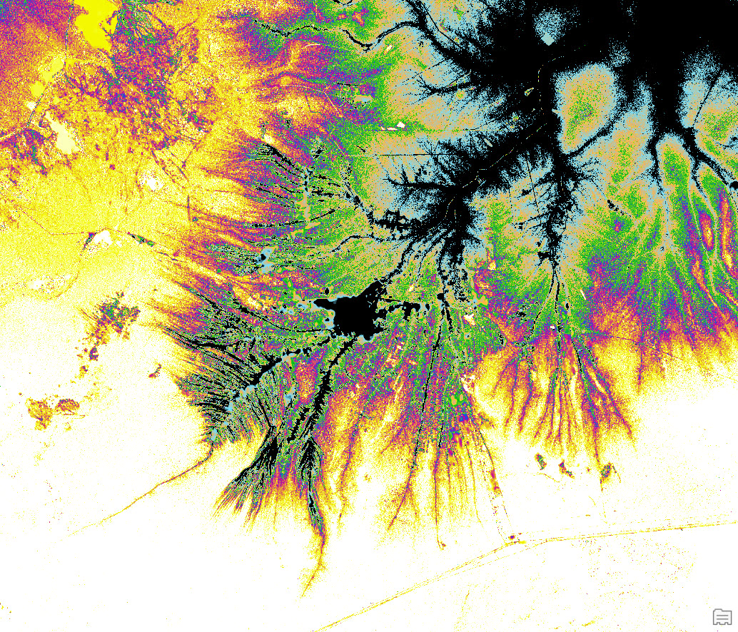
Eye of the Sahara

Spin art redux.
Spin Art

All these images were created using nothing more than a single layer from ArcGIS Living Atlas of the World. Keep watching ArcGIS Blog for descriptions of these strange and wonderful places and read tips on how to map them yourself!

About the author

Dr. Aileen Buckley has been making maps since she was an undergraduate student. She has a Bachelors in Geography and Spanish from Valparaiso University, a Masters in Geography from Indiana University, and a Ph.D. in Geography from Oregon State University. She is a senior product engineer on the Living Atlas team, and her work focuses on determining and sharing best practices for mapping and analysis with modern GIS. She publishes and presents world-wide on many aspects of mapping and GIS. She is a co-author of Map Use: Reading, Analysis, Interpretation, and she is a co-editor for the Atlas of Oregon. Aileen is a former president of CaGIS (the U.S. cartographic association) and is actively involved with the International Cartographic Association in which she is the lead delegate for the United States.

Connect:

Next Article

A Fresh Look for Wayback

Read this article