ArcGIS Living Atlas Articles

JRC Global Surface Water: Ready-to-Use Imagery Layers for Analysis

September 28, 2026 | Samira Daneshgar Asl | Imagery & Remote Sensing

JRC Global Surface Water: Ready-to-Use Imagery Layers for Analysis

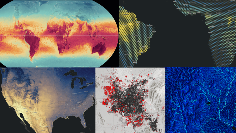
Seven Analysis-Optimized JRC Global Surface Water imagery layers are now available in ArcGIS Living Atlas for visualization and analysis.

Read this article
1 2 3 … 51