May 11, 2017 | Hannah Deindorfer | Data Management ArcGIS Pro Tips: 5 Tips For Fixing Broken Data Links
May 10, 2017 | John Berry | Data Management New Learn ArcGIS lesson: Big data and cartography in ArcGIS Pro
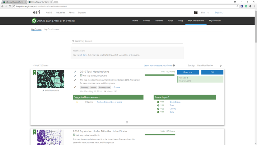
April 27, 2017 | Lisa Berry | Mapping A Simple Checklist to Nominate Your Maps and Apps into Living Atlas
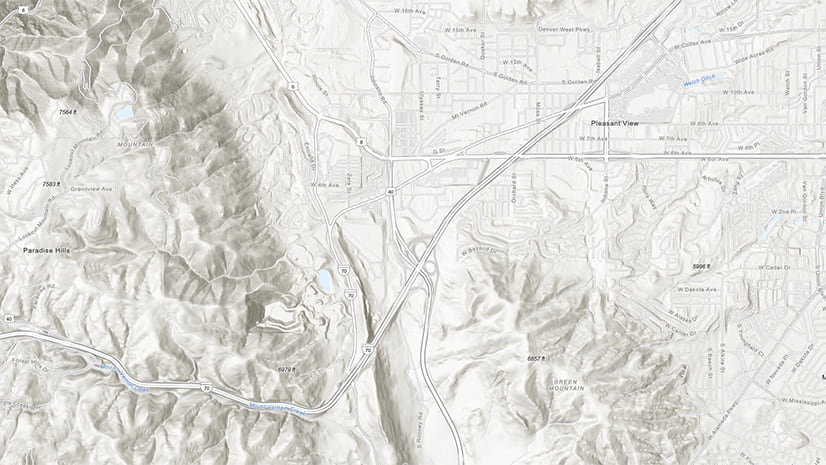
April 21, 2017 | Caitlin Scopel | Analytics Global Elevation Analysis Services Enhanced with Higher Resolution Data
April 19, 2017 | Sara Sanchez | Analytics Three Themes of ArcGIS Enterprise 10.5: Analytics, Automation, and Distributed GIS
March 2, 2017 | Deane Kensok | Imagery & Remote Sensing What’s New in World Imagery Basemap (March 2017)
February 24, 2017 | Tamara Grant | Mapping February 2017 Living Atlas Community Webinar Recording Now Available!
February 23, 2017 | Tamara Grant | 3D Visualization & Analytics Content for the Planet Comes to Life with Redesigned Living Atlas Website
February 8, 2017 | Caitlin Scopel | Analytics The Esri Hydro Reference Overlay is a Hosted Tile Layer on ArcGIS Online